
Insider Blog: Tracking how a warming climate could impact rainfall intensity
When we think of late spring and much of last summer, weeks of drought come to mind.
Continue Reading When we think of late spring and much of last summer, weeks of drought come to mind.
Continue Reading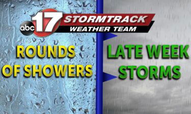
Today: Afternoon highs meander into the mid-40s as scattered showers continue across the region. Winds remain out of the southeast at 10-15 mph. Tonight: Overnight lows remain into the mid-40s as skies remain mostly cloudy with scattered light drizzles possible. Extended: Temperatures ramp up Wednesday thanks to a nearby warm front into the lower 70s.
Continue Reading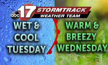
TODAY: Tuesday will start warm, with temperatures in the 40s. This is about as warm as it gets through the rest of the day as rain showers start to pick up shortly after sunrise. Light to moderate rain will be hit and miss for the early morning hours, but become more widespread by late morning
Continue Reading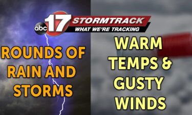
TONIGHT: Increasing clouds and not as cold with lows near 40. Breezy, with south wind gusts up to 25 mph. TOMORROW: Showers moving in by mid-morning with a few embedded thunderstorms. Highs in the mid-upper 40s and breezy. EXTENDED: The first of several rounds of rain and storms moves in tomorrow, with showers likely from
Continue Reading
Stronger storms are all too common across the Midwest in all seasons, and the conditions that bring these storms are changing. As the climate shifts, the window for stronger storms appears to be opening more frequently, all year around.
Continue Reading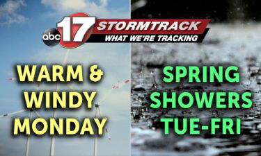
TODAY: Monday is the only dry day of the workweek so soak up the sun while its here! Breezes from the south will push highs to the low 60s. Winds could gust up to 35 mph. TOMORROW: Clouds return ahead of spring showers Tuesday, which will push highs back to below average. Temperatures will be
Continue Reading
TONIGHT: Mostly clear and cold, lows in the upper 20s. TOMORROW: Mostly sunny and windy with highs in the upper 50s to around 60. EXTENDED: Clouds increase tomorrow night ahead of low pressure that will be developing to our west across the Plains and bringing widespread rain on Tuesday. Southwesterly low level winds will draw
Continue Reading
TODAY: Winds calm significantly to between 5-10 mph roughly out of the west. High pressure today will keep skies clear and bring highs to the lower 40s. TOMORROW: Monday is the best time of the week to head outdoors with continued sunshine and temperatures close to the 60s. Clouds fill out late evening as a
Continue Reading
TONIGHT: Dropping back down to the low 20s, with stronger north west winds hanging on at 15-25 mph, gusts at 30. There are some chances of pop up flurries later in the night. TOMORROW: Winds calming down significantly at 5-10 mph, and skies clearing. Both of these things combined will allow for the start of
Continue Reading
TODAY: Some flurries moved through overnight but didn’t accumulate on roads. The system that fueled this has pushed even colder air into Mid-MO along with gusty winds. Wind chills at sunrise will drop to the lower single digits and we only recover to near freezing in the afternoon. Tomorrow: Winds relax early Sunday and subtly
Continue Reading
Tonight: Overnight lows cool the upper teens as winds gust out of the northwest up to 25 mph. This will lead to overnight wind chills into the single digits throughout the majority of Mid-Missouri. Skies remain partly cloudy. Tomorrow: Afternoon highs warm near the freezing mark as winds remain up to 32 mph out of
Continue Reading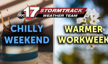
THIS AFTERNOON: Sunshine is struggling against northerly winds today keeping highs near 40. Winds will be sustained between 15-20 mph with clouds returning late afternoon. TONIGHT: Low clouds may bring enough moisture for light showers/drizzle and/or some light snow flurries overnight. These will not accumulate. Temperatures fall to near the teens with winds still from
Continue Reading
TODAY: We’re starting with sunshine this morning after clouds and rain left overnight. In their wake, we have a cold breeze! We’ll fall into the mid-20s through the early morning, but winds from the northwest will be sustained around 15-20 mph making us feel like low teens. These winds will have a cooling impact on
Continue Reading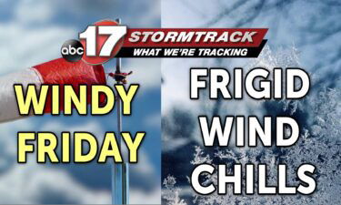
TONIGHT: Rain changing to light snow for a few hours, tapering off around midnight. A dusting of accumulation is possible on grassy surfaces north of I-70. Road impacts are not expected. Lows in the mid-20s with gusty winds. TOMORROW: Mostly sunny, breezy, and cold with highs in the lower 40s. Wind chills in the 30s.
Continue Reading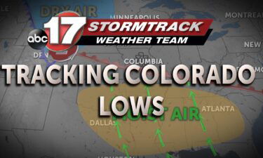
Living in Central Missouri, various types of weather is common. We see different types of precipitation depending on the season. Heading towards spring, the majority of systems bring storms to the Midwest. Each of these storms are tied to a low pressure system. Just where do these low pressure systems come and how do the
Continue Reading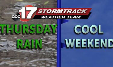
TODAY: Scattered showers and storms continue across the region until late this afternoon. By 6 PM, a cold front pushes across Mid-Missouri leading to more widespread showers and storms. This system can bring heavier downpours and a few rumbles of thunder with severe storms staying well south towards Arkansas. Afternoon highs top out near 60
Continue Reading
TODAY: Showers and thunderstorms are forecast for Thursday. Light showers will develop early this morning, primarily for those near Marshall, Booneville, Columbia and folks northward. Spotty shower activity will be possible farther south, but the best coverage should come north of I-70. This round of rain will come to an end around mid-to-late morning, before
Continue Reading
We are 15 days into meteorological spring, the average has continued to climb as we’re currently set at 55 degrees. Every year when trees begin to bloom their colors, a familiar white flowered tree draws attention to the eye. The Callery Pear, otherwise known as the Bradford pear sprouts its white flowers and offers it’s
Continue Reading
TONIGHT: Mostly cloudy with showers arriving before sunrise. Lows in the upper 40s. TOMORROW: Showers for much of the morning with afternoon thunder possible. Highs in the upper 50s to around 60. Rain amounts between 0.25″ and 0.5″ with gusty winds all day into the night. EXTENDED: Clouds have spilled in along with gusty winds
Continue Reading
Today: Afternoon highs warm into the lower 60s with mostly sunny skies. Winds remain out of the south at 10-15 mph with gusts up to 30 mph possible. Tonight: Skies become mostly cloudy as winds remain out of the southwest with gusts up to 30 mph. Overnight lows cool to the upper 40s. Extended: Showers
Continue Reading