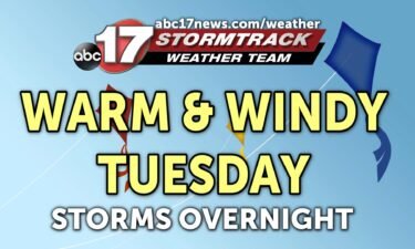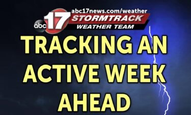
Tracking heavy rain and storms overnight into Wednesday morning
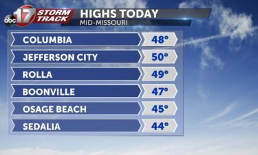
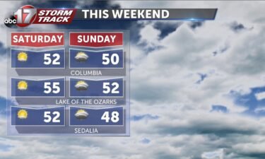
TONIGHT: Mostly cloudy with showers and storms likely well after midnight. Some storms may be strong with gusty winds and heavy rain. Lows near 60. TOMORROW: Showers and storms early, with heavy rain and strong winds. Temperatures drop from the low 60s into the low 50s by late afternoon. EXTENDED: Rain and storms move in
Continue Reading