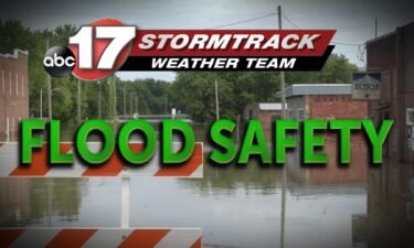
Spring flooding means water over roads
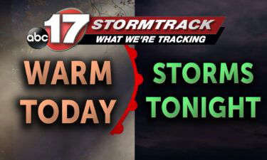
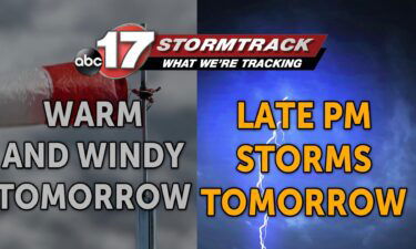
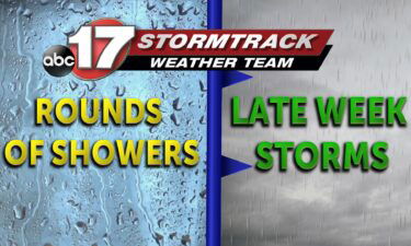
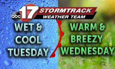
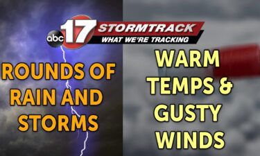
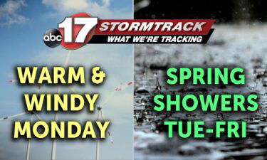
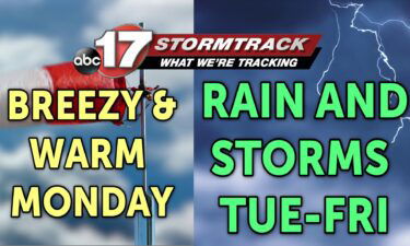
Every year Missouri sees a plethora of showers and storms spanning from late March through June. Just as recently as 2021, we saw the second wettest recorded June with the total for the month reaching 10.85 inches.
Continue Reading