Skip to Content

Weather Video

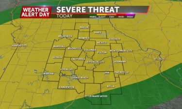
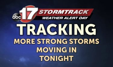
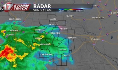
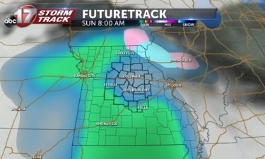
End to storms in sight

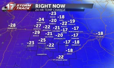
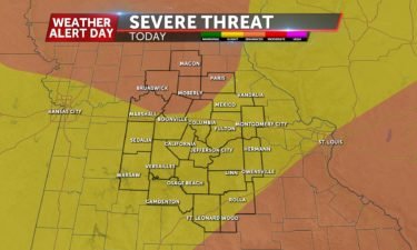
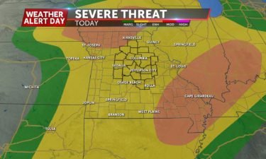
TODAY: Spotty showers and storms will briefly halt before another possible round could fire up again for our afternoon. The strongest portions of today’s system will be off to our North and East. Highs will reach the upper 70s. TONIGHT: Conditions will begin to dry out, but winds will continue to be gusty. Lows will

Continue Reading

A second round of storms

FRIDAY: Today things will warm into the 70s ahead of our next round of storms set to impact us in the afternoon to early evening. This round too has the potential to bring some hail and damaging wind gusts to mid-Missouri. For the latest timing/details check out the Stormtrack Insider Blog. TONIGHT: Storm coverage looks to be

Continue Reading

Tracking a rainy day

TODAY: A system producing cold rain will dominate today, and we could even see a few snow flurries where temperatures become cool enough. Overall, .5″ of rain is expected from this system, and any snowflakes that happen to fall will not have major impacts. Highs will only be in the lower 40s. TONIGHT: The rain will

Continue Reading

Cool weekend ahead

TODAY: Partly cloudy skies may allow for some sunshine to filter in, but highs will still remain in the upper 40s. TONIGHT: Overnight, clouds will build ahead of the next system which will move through beginning early on Sunday. Lows will be in the mid 30s. EXTENDED: Sunday morning will be fairly dreary with widespread

Continue Reading