
Parts of Mid-Missouri under flash flood watch
Several counties in Missouri including Boone, Moniteau, Cole, Callaway, Osage, Gasconade, Montgomery, Audrain and Monroe are in a flash flood watch.
Continue Reading Several counties in Missouri including Boone, Moniteau, Cole, Callaway, Osage, Gasconade, Montgomery, Audrain and Monroe are in a flash flood watch.
Continue Reading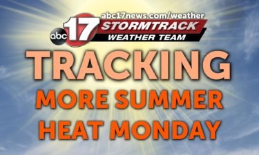
TONIGHT: Temperatures will remain warm overnight dropping into the low 70s. It will be muggy out the door in the morning. MONDAY: We’re going to stay dry for most of the day Monday. Temperatures warm right back up to near 90. Clouds will increase through the afternoon as storm system approaches from Oklahoma. Thunderstorms are possible
Continue Reading
SUNDAY: A warm front is lifting back through the area this morning. That will bring the return of the heat back to Mid-Missouri this afternoon with highs reaching the low 90’s. When factoring in the humidity, things will feel like the upper 90’s this afternoon so be sure to drink plenty of water. TONIGHT: A
Continue Reading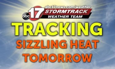
TONIGHT: A few storms are possible early. Temperatures remain mild in the 70s. SUNDAY: The heat and sunshine make a return tomorrow. Expect temperatures in the low 90s with heat index values between 95-100º through the afternoon. Have the water and sunscreen ready if you’re going to be spending time outdoors! EXTENDED: We look to hold
Continue Reading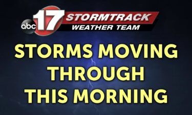
SATURDAY: Storms are moving through this morning. The severe threat seems fairly tame with these having arrived a little too late overnight. We’ll be tracking some storms not only this morning but redeveloping later this afternoon and evening. There’s a slim chance one or two of these is on the strong side with some hail
Continue Reading
TONIGHT: Increasing clouds and humid with lows in the low 70s. A few storms possible late, likely before sunrise. Some could bring heavy rain and frequent lightning. TOMORROW: Showers and storms in the morning followed by partly cloudy skies. Highs in the low to mid-80s. Scattered storms possible by afternoon, with potentially isolated damaging winds
Continue Reading
The next couple of days are going to feature air that feels a bit more muggy! It’s a classic sign that we’re turning the corner out of cold, wintry weather. However, many times we confuse humidity with a “humid” atmosphere. (I know, that makes no sense– Blame the guy who came up with the calculation
Continue Reading
TODAY: Hot and humid with plenty of sunshine. Highs get into the low 90s with a heat index between 95-96. TONIGHT: Storms should stay north until sunrise. They will increase through Saturday morning. It will remain warm and muggy with temperatures near 71. EXTENDED: Saturday will feature on and off thunderstorms– this will allow us
Continue Reading
TODAY: Hot and humid with plenty of sunshine. Highs get into the low 90s with a heat index between 95-96. TONIGHT: A cold front will remain just to our north in Iowa and northern parts of Illinois. This cold front will move south across Mid-Missouri as we transition into Saturday morning. Latest model runs suggest
Continue Reading
After a pleasant start to the week, the return of summer-like weather is looming with heat, humidity, and storms all in the forecast for the weekend and beyond. Moisture is beginning to creep back into the region as high pressure builds to our south in the upper levels of the atmosphere. This will allow southwesterly
Continue Reading
TONIGHT: Mostly clear and muggy with lows in the low 70s. TOMORROW: Hot and humid with plenty of sunshine. Highs get into the low 90s with a heat index between 95-96. EXTENDED: A cold front to our north Friday night will trigger a line of strong to severe thunderstorms across Iowa and northern Illinois that
Continue Reading
This week is Lightning Safety Week. It’s we head into the most active months for daily lightning across the United States which falls between late June and August. One of the things that makes lightning so dangerous is because of the misinformation and myths which surround the phenomenon. One popular myth is that if the
Continue Reading
THIS AFTERNOON: Warm and humid conditions have built into the area. Stay hydrated and pack the sunscreen if y ou have plans to be outside. Temperatures will hold near 90. A spot storm is possible south of HWY 54. TONIGHT: Staying quiet & muggy overnight with lows only falling to near 70. EXTENDED: Friday is looking to stay
Continue Reading
Col. William Hannan, commander of the Kansas City District, gave an update on levee rehab across the state and said that Jefferson City is further along than most.
Continue Reading
THURSDAY: A few thunderstorms that have developed to our west will slide southeast throughout the morning. If these hold together, they could move into the Lake of the Ozarks region later this morning, before fizzling out. Otherwise, temperatures will start out comfortable again but will begin to climb this afternoon. Highs will reach the upper
Continue Reading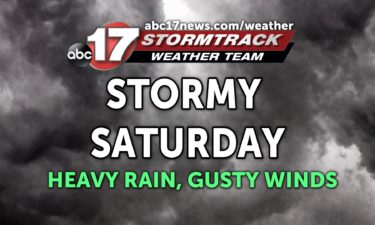
TONIGHT: Mostly clear with a spot shower or two by daybreak. Lows in the low 60s. TOMORROW: Heating up with temperatures rising into the upper 80s. Heat indices in the low 90s with minimal rain expected. EXTENDED: As a warm front moves through the area on Friday coupled with upper level high pressure building over
Continue Reading
Saharan dust is a phenomenon that occurs yearly, but in much a 2020 fashion, the one this year had to be the worst in… 50 years? That’s according to several meteorological sources on the island of Puerto Rico who experienced the brunt of this dust event over the past 3 days. 💨 Saharan Dust is
Continue Reading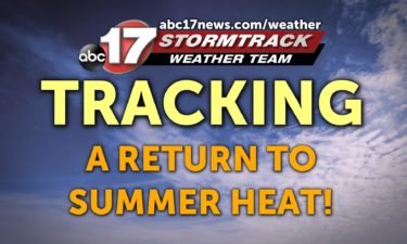
THIS AFTERNOON: Expect lots of sunshine and comfortable temperatures. We’ll be near 80 through this evening. Humidity will remain low. TONIGHT: Partly cloudy. Temperatures will fall into the lower 60s. EXTENDED: An isolated chance for a shower or storm joins the forecast tomorrow. Highs will nudge toward the middle to upper 80’s, a sign of things to come.
Continue Reading
WEDNESDAY: That beautiful weather that we got to enjoy yesterday sticks around for another day. Highs will top out in the low 80’s with humidity not playing much of a role today. TONIGHT: Partly cloudy skies stick around overnight and with winds swinging out of the south, lows only fall to the low 60’s. EXTENDED:
Continue Reading TONIGHT: Mostly clear and nice with lows in the upper 50s to around 60. TOMORROW: Mostly sunny and comfortable with highs near 80 and low humidity. EXTENDED: Winds begin to shift in the upper levels of the atmosphere toward the end of the week, with high pressure building in from the south. Temperatures return to
Continue Reading