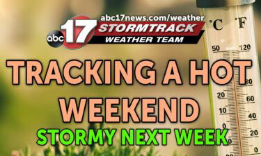
Tracking storms over the weekend
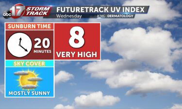
TODAY: Thursday starts clear and crisp again, with lows in the low-to-mid 60s again. Winds are variable and relatively calm through the day with mostly sunny skies in the morning, before becoming partly cloudy in the afternoon. Highs climb back into the mid-80s. TONIGHT: Skies clear overnight, and winds shift out of the south. EXTENDED:
Continue Reading