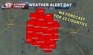
Issuing Weather Alert Days for winter weather
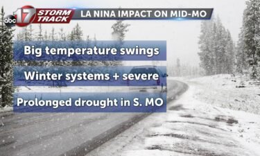
Winter can bring just about every type of weather to Mid-Missouri’s 23 counties, highlighting the need to be informed about what’s heading our way. The ABC 17 Stormtrack Weather Team issue Weather Alert Days for inconvenient and dangerous weather all year round to keep viewers ahead of the storm. In winter, a Weather Alert Day
Continue Reading