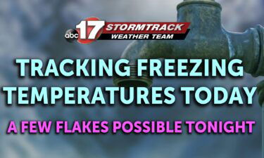
Tracking two rounds of rain for the holiday weekend
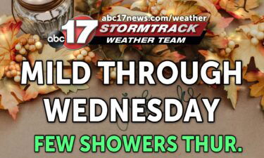
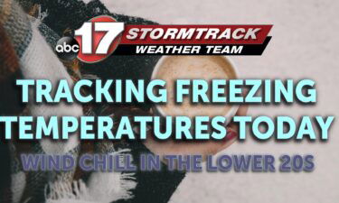
TODAY: Tuesday is another warm one, with temperatures climbing to near 60 for highs by the afternoon. Expect abundant sunshine, and a southwest breeze sustained anywhere from 5 to 10 mph. TONIGHT: Winds relax overnight, but remain southerly. Skies remain mostly clear through the evening, but clouds will arrive early Wednesday morning. Temperatures fall into
Continue Reading