Sunday UV Index and pollen tracker
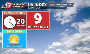
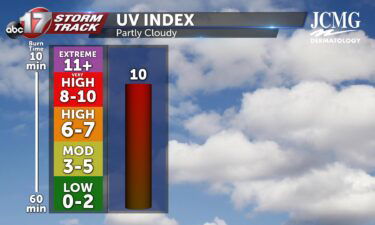
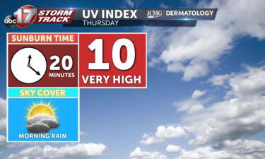
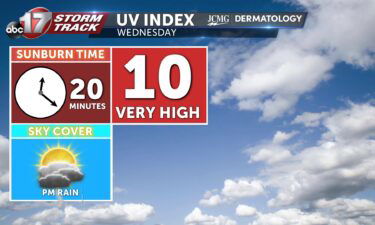
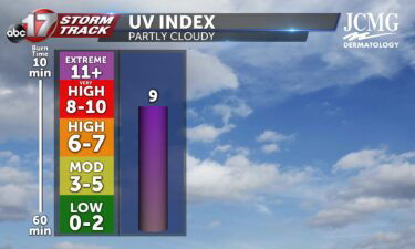
After isolated morning showers, the sun will make an appearance, bringing mid-Missouri a UV index of 9 tomorrow. Without protection of sunscreen that’s SPF 50 or higher, it only takes 20-25 minutes to receive a sunburn on exposed skin. We have isolated rain over the next couple of days, which helps pollen levels somewhat, but
Continue Reading