Skip to Content

Weather

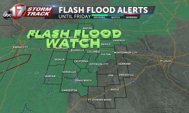
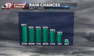
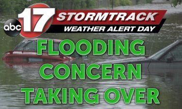
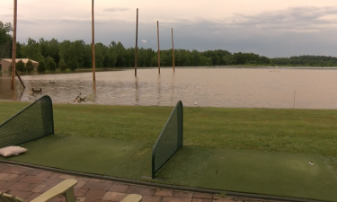
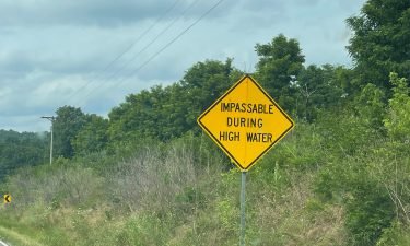
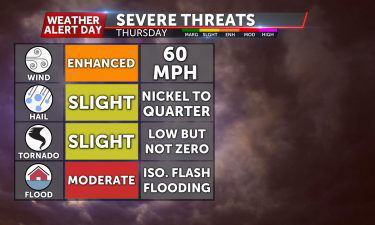
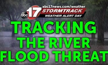
Tracking river flood potential

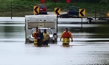
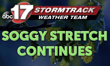
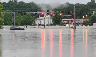
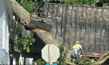
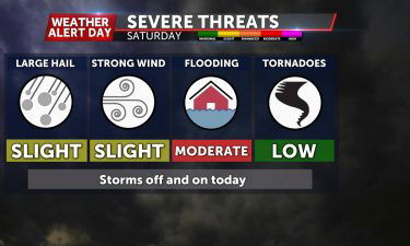
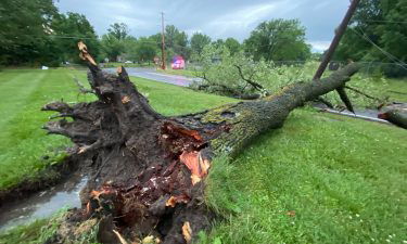
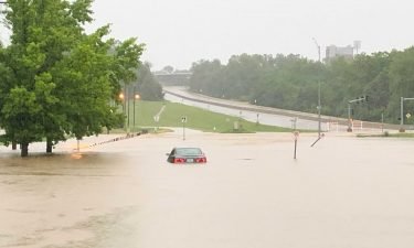
We’ve been tracking localized flooding for you all weekend long, but with more rain on the way, flooding is still a major concern. The National Severe Storms Laboratory of the National Oceanic and Atmospheric Administration states that flash flooding is the most dangerous type of flooding as there is little forewarning allowing for preparations to

Continue Reading

Tracking a cool and wet week ahead

Tonight: Throughout the evening, scattered showers and storms will continue to push through Mid-Missouri. During the early morning hours, storms will dissipate into showers. The overnight low will drop to 69 degrees. Tomorrow: We will see a break from the rain about mid-morning as we begin to warm up to the mid-80’s. By the early

Continue Reading

Tracking more storms this weekend

TODAY:  Flooded areas will continue to be an issue. The National Weather Service has extended the Flash Flood Watch until 7 AM Saturday morning. Our Weather Alert Day will expire at 10 AM. On and off rain showers and thunderstorms will continue throughout the day. Highs in the mid-80s. TONIGHT: Storms stick around overnight, keeping the

Continue Reading

Severe weather threat still underway

TONIGHT: Storms stick around overnight, keeping the flooding threat. Flash flooding will continue to pose a threat to a large portion of the viewing area. Lows will fall into the upper 60s. TOMORROW: Flooded areas will continue to be an issue. The National Weather Service has extended the Flash Flood Watch until 10AM Saturday morning. Our

Continue Reading

Tracking more severe storms for Thursday evening

TONIGHT: Another round of storms are bubbling up now and will slide southeast overnight. Damaging winds hail, isolated tornadoes, and flash flooding look to be the biggest threats with this round. Lows will hold in the middle 70’s. For the latest on these storms throughout the evening, head over to our Insider Blog. TOMORROW: Stormy conditions will

Continue Reading