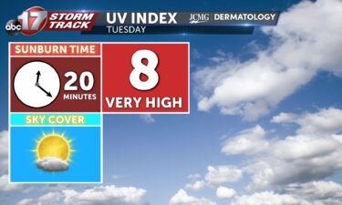
Tuesday’s UV index and pollen tracker
Tuesday’s UV index will be high as sunshine returns. Pollen levels will be high through the end of the week as tree allergens are prevalent.
Continue Reading Tuesday’s UV index will be high as sunshine returns. Pollen levels will be high through the end of the week as tree allergens are prevalent.
Continue Reading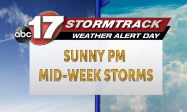
TODAY: Standing water currently has some roads closed across the region, so check the MODOT Traveler Information Map for information on low lying areas that typically flood. We have an array of flood alerts across the region this morning after a very wet weekend. Skies remain mostly sunny this afternoon thanks to a passing high
Continue Reading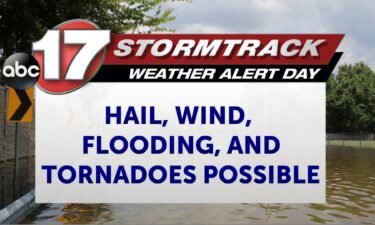
MONDAY MORNING UPDATE All storms have cleared. Flooding remains a concern with areal flood alerts and river flood warnings. INSIDER BLOG The ABC 17 Stormtrack Weather Team has issued a Weather Alert Day for Saturday and Sunday as we can expect multiple rounds of strong to potentially severe storms through the end of the weekend.
Continue Reading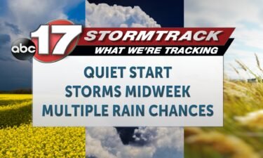
TODAY: Standing water currently has some roads closed across the region, so check the MODOT Traveler Information Map for information on low lying areas that typically flood. We have an array of flood alerts across the region this morning after a very wet weekend. The rain has come ton an end this morning, and clouds
Continue Reading
TONIGHT: It is an ABC 17 Stormtrack Weather Alert Day for the potential of strong to severe storms. Luckily, rain and cloud cover from the impactful system last night has limited a good amount of energy that could have been available today. This means that the majority of storms throughout the afternoon and evening will
Continue Reading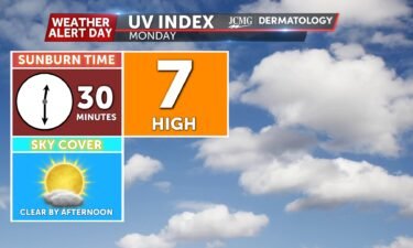
With sunshine emerging by the afternoon hours, there will be UV Index of 7 tomorrow. This means that 30 minutes without proper protection could lead to a sunburn. Pollen levels will be high through the start of next week, with Oak, Ash, and Mulberry being the primary allergens.
Continue Reading
TODAY: There is still an ABC 17 Stormtrack Weather Alert Day in effect through Sunday for more strong storms possible. Get the latest here. Today’s severe risk depends on how quickly morning rain clears. Showers and storms redevelop in the afternoon regardless, but the amount of dry time will determine how many storms can become
Continue Reading
TONIGHT: It is an ABC 17 Stormtrack Weather Alert Day as I’m tracking isolated storms throughout the rest of the evening and a more widespread round of storms through the late evening/overnight hours. The evening/overnight round is the area of most concern as all severe weather types will be possible (large hail, damaging winds, tornadoes)
Continue Reading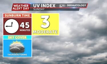
Tomorrow will be mostly cloudy with the potential to observe strong to severe thunderstorms. This results in a UV Index of 3, meaning it will take 45 minutes to receive a sunburn if you are not protected. Pollen levels will be low tomorrow due to rainfall, but with dry conditions expected through Tuesday, higher pollen
Continue Reading
TODAY: Saturday starts out dry as temperatures race to the lower 80s. Isolated non-severe storms could fire up this afternoon bringing heavy downpours. Storm coverage increases this evening as a risk of severe storms returns after sundown. A line of severe storms tracks in from the west near midnight, bringing the threat of 60 mph
Continue Reading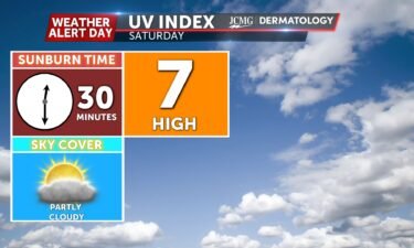
Saturday welcomes partly cloudy skies throughout much of the day leading to a level seven UV Index Pollen levels across much of Mid-Missouri remains very high into Saturday and high throughout Sunday through Tuesday.
Continue Reading
TONIGHT: Overnight lows cool to the lower 60s as scattered storm chances slide into the region from the west. Winds up to 60 mph, hail up to 1″ in diameter, and a low but not zero tornado threat are all on the table. TOMORROW: Saturday sees drier conditions throughout most of the day with partly
Continue Reading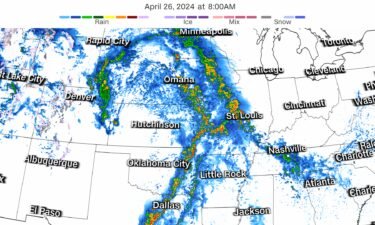
By Mary Gilbert, Zoe Sottile, Sarah Dewberry, Jamiel Lynch, Raja Razek, Sharif Paget, Sara Tonks and Brandon Miller, CNN (CNN) — Devastating tornadoes are tearing across parts of eastern Nebraska and Iowa on Friday as a multiday severe thunderstorm event ramped up in the central United States, injuring at least three people. Storms began in
Continue Reading
Despite an active spring with rain and storms, Missouri remains gripped by a years-long drought. Past months have seen sporadic bouts of rainfall with dry stretches in between that are only slowly eating away at the drought. It will take even more above-average rain to wash out dry conditions locally and the spring season is
Continue Reading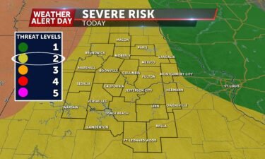
A large power outage left nearly 400 Boone Electric Cooperative members in the dark mid-morning Friday.
Continue Reading
THIS AFTERNOON: Friday, Saturday, and Sunday are ABC 17 Stormtrack Weather Alert Days. Get the latest details here. After a rain-soaked morning parts of Mid-Missouri clear out early afternoon. Redevelopment of storms is possible this evening mostly to our west where all severe hazards are possible; current data keeps this activity out of our area but
Continue Reading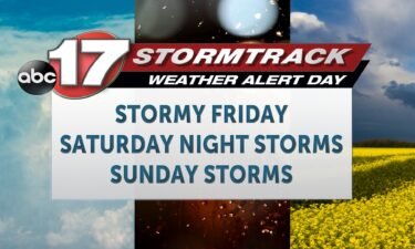
TODAY: Friday, Saturday, and Sunday are ABC 17 Stormtrack Weather Alert Days. Get the latest detail here. Friday brings a chance for scattered storms through the morning, and some isolated evening storm chances. Our best chance at severe weather will be with what can develop later this evening, but a chance for isolated severe exists
Continue Reading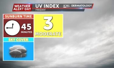
The UV index will be low tomorrow with rain and storms in the area. Pollen levels will be lower tomorrow with storms washing away some of the tree pollens.
Continue Reading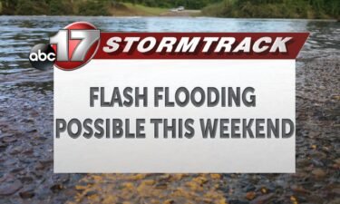
With multiple rounds of showers and storms expected beginning tonight lasting off and on into this weekend, there are increased chances of flash flooding incidents becoming possible. That paired with drier conditions across the region presents an interesting opportunity to see not so typical events. Rainfall totals over the next five days amount to up
Continue Reading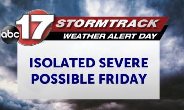
TONIGHT: Mostly cloudy with the first wave of rain exiting before midnight. Mostly cloudy and breezy with more rain moving in before daybreak. TOMORROW: Showers and storms with heavy rain possible in the morning. Isolated strong storms possible in the afternoon. Breezy with highs in the lower 70s. EXTENDED: One wave of showers and storms
Continue Reading