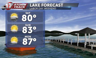
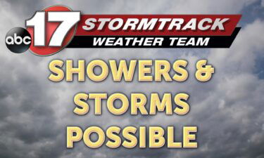
Tracking scattered showers and a dry Labor Day
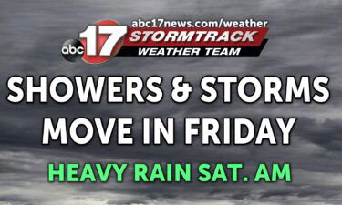
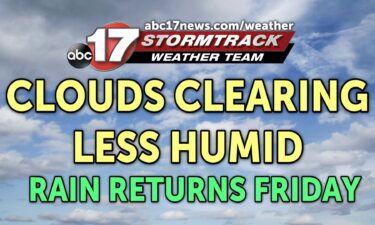
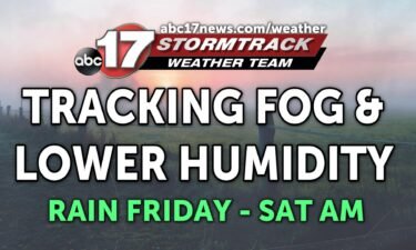
Today: Showers are beginning to die out with mostly cloudy skies keeping us in the ’70s. Temperatures will continue to rise to 78 degrees for the high with more chances of scattered showers and storms this afternoon. Tonight: Scattered showers become more widespread late this evening ahead of an approaching cold front. The overnight low
Continue Reading