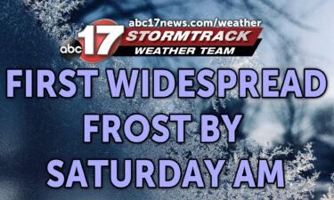
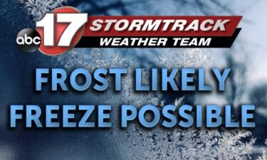
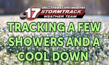
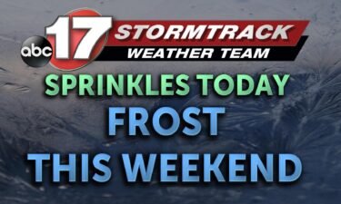
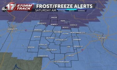
Skip to Content

Daily Forecast

Tracking a drier Sunday

TONIGHT: Many of us will stay dry as high pressure off to our southeast pushes the rain just to our west. Low temperatures will fall into the mid 60s for the night. TOMORROW: Depending on where that high pressure system sets up, we could be facing some more spot showers throughout the day tomorrow. The

Continue Reading

Tracking a rainy start today

TODAY: We’ll see showers early today before rain chances become more scattered in the afternoon. A bit of sunshine is possible by the late afternoon today. Highs reach the low 80s. TOMORROW: Skies stay clearer with a few clouds and highs reach the mid-80s. EXTENDED: Next week starts off largely dry on Monday, but the upper

Continue Reading

Tracking the slow clearing of this rain

FRIDAY: More showers will be possible throughout the morning. Temperatures will warm into the 80’s this afternoon. Rain will taper off this afternoon, leaving us dry by this evening. TONIGHT: We’ll be left with partly to mostly cloudy skies overnight. Lows will back off into the middle 60’s. EXTENDED: High pressure will build westward into Saturday, but it will

Continue Reading

Tracking spot showers and storms

THURSDAY: Rain will be off and on throughout the morning, but looks to thin out by this afternoon. Some showers and storms will try to redevelop this afternoon, but look to stay west. Most of us should stay dry through the evening before another round moves in tonight. Highs will top out in the upper 70’s

Continue Reading

Showers and storms this afternoon

TUESDAY: Scattered showers will again cause a slow commute this morning. Thunderstorms are expected to develop this afternoon, with a low threat of producing some gusty winds or even some small hail. Highs will top out in the upper 70’s. TONIGHT: The coverage will thin out, but the chance of a few showers will stay in the forecast.

Continue Reading

Tracking more showers for Tuesday

TUESDAY: Scattered showers will again cause a slow commute this morning. Thunderstorms are expected to develop this afternoon, with a low threat of producing some gusty winds or even some small hail. Highs will top out in the upper 70’s. TONIGHT: The coverage will thin out, but the chance of a few showers will stay in

Continue Reading

Tracking even more rain

TODAY: Widespread rainfall will push in from our south as that stationary boundary continues to stir up weather across the area. While a rumble of thunder cannot be ruled out, our main concern will be flooding as near 1″ of accumulation will impact the area. Temperatures will still be below average with highs in the

Continue Reading

Tracking Overnight Storms and a Wet Week

Tonight: We will be seeing overnight storms and showers throughout much of Central Missouri. As we get later into the evening, the threat for storms begins to diminish while our rain stays with us well into Monday. Our temperatures will bottom out at 63 degrees. Tomorrow: Early morning showers will continue into the afternoon tomorrow

Continue Reading

Tracking showers and storms this week

TODAY: We wrap up the weekend with cloudy skies this morning before scattered storms later on this afternoon. These storms could produce high winds and small hail before settling down overnight. Highs reach the low 70s. TOMORROW: Monday will kick off with scattered showers and temperatures in the low 60s. Clouds hang around with the

Continue Reading

Tracking Sunday Storms And a Wet Week Ahead

Tonight: Scattered Showers will continue in Mid-Missouri. Our temperatures will cool down to 55. Tomorrow: We are tracking two separate times for scattered thunderstorms. the first thunderstorms we will see early Sunday morning where you might wake up to some thunder and decent rain downpours. the second group of thunderstorms will be more impressive and

Continue Reading
Skip to content