
Insider Blog

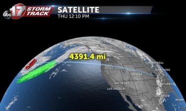
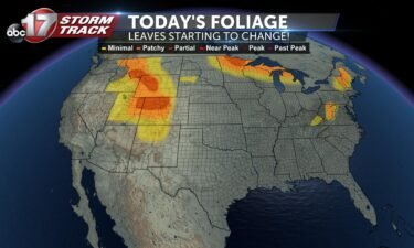
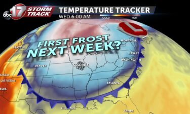
FALL BLAST: Next week to bring jacket-weather back to mid-Missouri
2020 continues to zip right on by… Yeah, pretty crazy to think we’re already talking about truly fall-like air. It’s looking more and more likely we’re be in the thick of it by this time next week! And if we’re going to talk technicalities, the fall season has already begun! Meteorologists use September 1st to
Continue Reading

Inside the Storm: How hurricane hunters stay safe flying through storms
Follow @TheAstroNick and @NHC_Atlantic on Twitter for lots of cool Hurricane Hunter updates! Today I installed a Turbulence Indicator (it's a dropsonde ribbon wrapped around a dropsonde cap and tied to the ceiling) to try to better illustrate the bouncing around. I think it works, personally.#Laura was a hurricane by this point but I hadn't
Continue Reading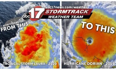
VIDEO: Stormtrack Weather Team explains how hurricanes form
NOAA article on hurricane formation and how they’re named
Continue Reading
Two tropical systems to strike at once? Historic tropical event possible next week
What we know now Tropical depression 13 and 14 continue to churn in the Atlantic basin Thursday afternoon. Both are expected to become named storms (winds of 39 mph or greater) within the next 24 hours. They would be Laura and Marco. Official tracks from the National Hurricane Center indicate both storms posing a threat
Continue Reading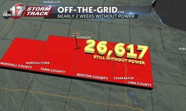
VIDEO: Nearly 30,000 Iowans still without power two weeks after derecho
⬇️Help our neighbors to the north⬇️ Greater Cedar Rapids Community Foundation GoFundMe for Individual Families Affected
Continue Reading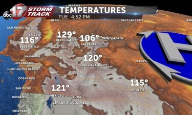
Hottest weather ever? Death Valley hits 130º this weekend
This past Sunday Furnace Creek, CA hit a scorching 130º. If this is confirmed, it will be the third-hottest temperature ever recorded on earth. The all-time record was set in 1913 at 134º. Many meteorologists dispute this record due to lower-grade technology employed in that time. If you were to disregard the old record, this
Continue Reading
Wildfires are blazing across western Colorado– what would that look like here?
→You can view an interactive map of United States wildfires here←
Continue Reading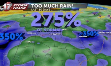
No, you haven’t been imagining it– The last 30 days have been extremely wet.
From this morning… Folks this rain is NO JOKE flooding already occurring on Lindell at Vandeventer. #STLwx #TurnAroundDontDrown pic.twitter.com/v8sFHandxr— Matt Beitscher (@FMtheWeatherman) August 12, 2020 Deja Vu?… Same area saw flooding Sunday Serious Flash flooding event going on in areas that can't handle several inches of rain in a short time. Lots of lightning and
Continue Reading
VIDEO: What made yesterday’s wind storm a ‘derecho’
What makes a “derecho”? Monday’s historic wind event brought damage to several major cities from Iowa through north-central Illinois. This storm is referred to as a squall line. You may also here bow echo, or mesoscale convective system. What made this storm a derecho was it’s power. The word derecho comes from the spanish word
Continue Reading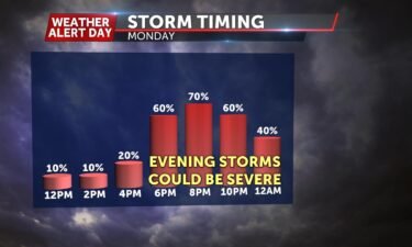
WEATHER ALERT DAY: Severe storms likely through this evening
SYNOPSIS A cold front continues to track south across northern Missouri Monday afternoon. Instability values are expected to be very high due to the heat and humidity expected. Wind shear looks relatively low, so a tornado threat looks low at the moment. Damaging wind, flash flooding and hail look like greater threats. TIMING Storms have
Continue Reading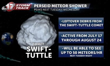
VIDEO: What to know about the Perseid meteor shower
NASA’s in-depth article on the 2020 Perseid meteor shower
Continue Reading
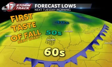
Taste of fall looks likely next week
We’ve gotten a break from the 90s this week but the humid, muggy weather has held on strong. That’s set to change as a strong cold front is set to burst south through mid-Missouri Sunday night. Much drier air will help us cool off into the 70s for highs with lows into the mid-to-upper 50s–
Continue Reading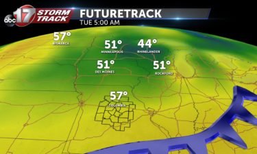
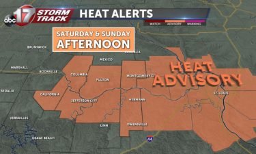
Heat advisory this weekend, practice heat caution outdoors
A heat advisory goes into effect tomorrow afternoon and lasts through Sunday evening. The ABC 17 Stormtrack Weather team opted to not issue a Weather Alert Day due to heat index values remaining below 105º. We typically begin having internal Weather Alert Day discussions if heat index values are expected to be at least 100
Continue Reading
The science behind Sunday’s storm clouds
FULL PHOTO GALLERY
Continue Reading