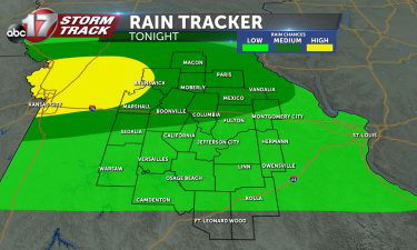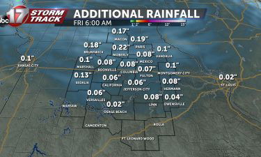
Tracking light rain showers for Thursday
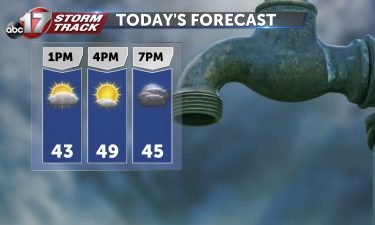
THURSDAY: Don’t set the umbrella down just yet! More rain will be rotating through on the backside of this system that isn’t quite done with us yet. Today’s batch will be much lighter and quieter than what we were tracking yesterday. But it will be much cooler as well, with highs topping out in the low
Continue Reading