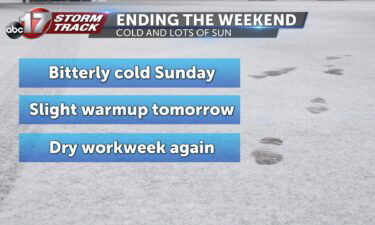
Skip to Content

Daily Forecast

Tracking another stormy start

TUESDAY: More storms to start us off this morning. Expect most of these to remain below severe limits, but some more heavy downpours will make driving tough. Coverage starts to thin out this afternoon and evening with highs in the upper 70’s and low 80’s. TONIGHT: Still can’t rule out a stray storm or two

Continue Reading

Storms tapering off this afternoon

MONDAY: A complex of showers and thunderstorms are possible this morning. Some storms could contain strong wind gusts or small hail. The most widespread activity will be along and south of I-70… especially if you close to the Lake of the Ozarks. The main timeframe for storms will be between 9:00am-1:00pm. Temperatures will be mild, in

Continue Reading

Tracking storms and cooler temps

TODAY: A cold front is making its way through Missouri today, bringing with it the potential for rain and cooler temperatures. Rain chances looking to stay low for much of the morning; however, our southern counties will see some storms throughout the afternoon. The high temperature for today should stick around 81. SUNDAY: Conditions calm down a

Continue Reading

Tracking fleeting warm weather

WEDNESDAY: Another toasty afternoon on tap once again. Just about the only saving grace we might find will be a spot shower. Most of that activity will once again be around the I-44 corridor, however. The rest of us will see highs in the low 90’s with a heat index in the upper 90’s. TONIGHT:

Continue Reading

Heat & humidity hold on for now…

THIS AFTERNOON: It’s a toasty one out there… most of the area will top out around 93/94. Hazy skies from wildfires and maybe a bit of a smoky smell certainly possible too. Clear weather will continue this evening, will be a good one for grilling on the patio! TONIGHT: Mostly clear skies stick around tonight with lows

Continue Reading
Skip to content