Tracking severe storm potential Sunday morning, threat moving east this afternoon
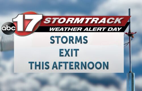
TODAY: An ABC 17 Stormtrack Weather Alert Day is in effect for Sunday due to the potential of severe storms. An early morning round of rain has weakened below severe standards and will continue to fizzle out before noon. Another round of severe storms is possible this afternoon south and east of I-44. While this threat is mostly east of our area, damaging winds and hail and a few tornadoes could track through places like Rolla, St. Louis, and the Bootheel. The severe threat ends by the evening as a cold front exits.
TOMORROW: Temperatures plummet on Monday, starting the morning near freezing and remaining below average in the 50s in the afternoon. Partly sunny skies are expected.
EXTENDED: Temperatures rebound to the 60s on Tuesday but the weather pattern remains active as clouds roll back in. Chances for strong to severe storms are increasing late Tuesday night into Wednesday with multiple rounds of storms possible, and more April showers follow late week.