Understanding QLCS and Squall Line storms
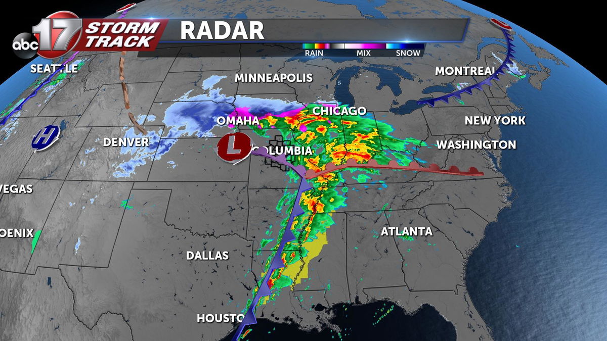
Throughout the majority of the day, Mid-Missouri felt the effects of rain showers brought on by a large system encompassing much of the Midwestern and Southeastern United States. This large system is known as a Quasi-Linear Convective System (QLCS), or referred to more commonly as a "Squall Line."

This large QLCS has brought rainfall to Mid-Missouri, snowfall to Nebraska, and severe storms across much of the Southeastern United States.

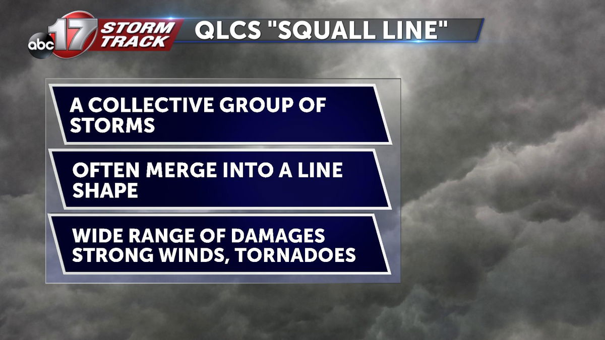
A QLCS, or "Squall Line" is a large collection of storms moving together in a shape resembling a line. These systems can be very powerful and dangerous at times producing possible strong wind damage, tornadoes, and even flooding. Thankfully, Mid-Missouri's atmosphere did not have the ingredients needed to supply our area with any of these threats. However, Arkansas has seen various severe storms that have produced multiple tornado warnings and even wind damage.

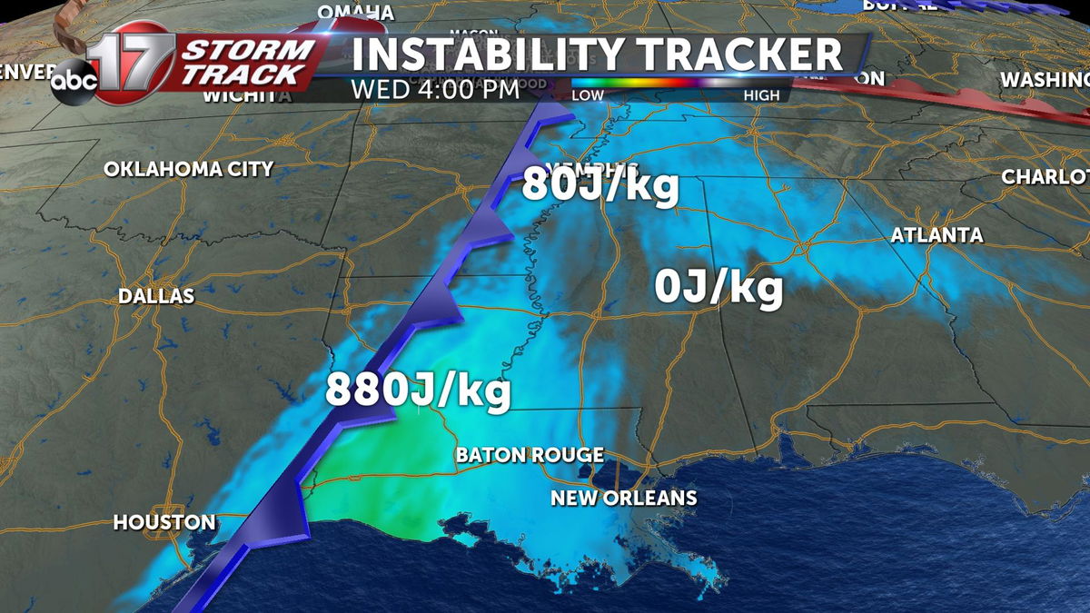
The reasoning for stronger storms to the south is increased energy in the environment known as CAPE. Values depicted on the graphic above show relatively low energy totals for storms, but during the cooler seasons such as winter and early spring, low amounts of energy are adequate due to the increased wind shear in the atmosphere. Wind shear is the change in wind speeds and directions. Increased wind shear means more rotation can occur in the atmosphere promoting the building of storms.

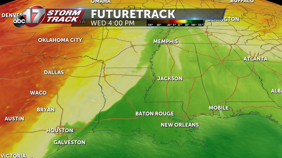
The prior listed ingredients paired with a moist atmosphere ahead of a front will lead to the building of these QLCS's. Green colors depict atmospheric dew-points in the 60 degree range which means the environment is more saturated.
