Tracking mild temperatures and sunshine through Friday before storms arrive
TONIGHT: Mostly clear and breezy with lows in the upper 40s.
TOMORROW: Mostly sunny with lighter winds and highs in the upper 60s to low 70s.
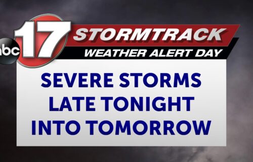
EXTENDED: Tomorrow will only be a touch cooler in some spots as a dry cold front sets up shop across Mid-Missouri. Highs will still range from the 60s in the north to the low 70s farther south. Winds will be lighter through Wednesday, then start picking up again toward the end of the week as southwest flow increases. We'll see highs in the upper 70s on Thursday and Friday ahead of strong low pressure that will move across Nebraska and Iowa and drag a cold front through the region Friday into Saturday. We'll be on the warmer side of this system, with the potential for at least a few severe storms in the vicinity by late Friday afternoon. Right now, the most favorable area in Mid-Missouri looks to be east of Highway 63 where ingredients linger the longest, but this could shift even further east as we progress later into the week. Rain amounts will be under 0.5" with this fast moving system, but the weekend is looking cooler with highs in the upper 50s to around 60 on Saturday and lower to mid-50s on Sunday. Next week is looking a little more mild to start with rain returning by mid-week.