What winter was like the year you were born
Evening Standard // Getty Images
What winter was like the year you were born
The United States has seen a wide range of winters over the past century—everything from warm, mild years where folks could stroll leisurely through parks in February to turbulent, frigid seasons where people had to hunker down inside. There were years when blizzards swept in unannounced, covering huge swaths of the country in blankets of snow, while other years brought hurricane-force winds to cities and towns across the nation.
The Midwest region is particularly susceptible to cold winters, especially in states like Minnesota, North Dakota, South Dakota, Nebraska, Kansas, and Michigan. In these places, residents lie in the path of both the low-pressure systems that originate in Alberta and travel southward (sometimes called “Canadian clippers”) and the shortwave low-pressure systems that come from the southwest, traveling northeast toward the Great Lakes region (also called “Panhandle hooks”). Additionally, some winters, particularly in recent years, see the polar vortex in the north sending giant masses of freezing Arctic air southward. These often settle over the Midwest, causing jarring and dangerous drops in temperature.
The Midwest isn’t the only place in America that’s vulnerable to blustery, bitter-cold winters. New England experiences a large number of hurricane-level storms and cyclones, mainly from nor’easters that form in Canada and travel south. The Rocky Mountains are prone to extreme temperature lows as well as heavy blizzards, especially in states like Wyoming, Idaho, and Montana (the latter of which can reach temperatures of 50 degrees below zero in the thick of winter). Alaska sees freezing, storm-filled winters that often break records for lowest temperatures and heaviest snowfalls. And the western states often get hit with torrential rainstorms that cause widespread flooding and damage. In contrast, Hawaii, Florida, Arizona, New Mexico, and Texas have historically enjoyed some of the mildest winters in the U.S., though that trend has begun to shift in recent years.
To give you an idea of how these winters have played out over time, Stacker put together a list featuring information and statistics for each year of the past century, beginning in 1922 right up through 2022. In addition to average highs and lows, we’ve included major weather events like storms, blizzards, or other occurrences that captured headlines those years. Much of the data was compiled from the National Oceanic and Atmospheric Administration National Centers for Environmental Information in November 2022. The average, maximum, and minimum temperatures and average precipitation data for each year were gathered from the Climate at a Glance: National Time Series. This temperature data applies to winters (designated by the NOAA as December of the preceding year through February of the current year) in the contiguous U.S. The record one-day snowfall data were gathered from the NOAA’s Snowfall Extremes and includes the record from any day within the calendar year.
Take a look at the slides to see what winter was like the year you were born.
You may also like: 2-year degrees that go on to earn the least money
![]()
Library of Congress // Wikimedia Commons
1922: The Knickerbocker Storm
– Average winter temperature: 31.28°F (#24 coldest year; 0.9°F below 100-year average)
– Maximum winter temperature: 41.84°F (#23 coldest year; 0.9°F below 100-year average)
– Minimum winter temperature: 20.73°F (#19 coldest year; 1.0°F below 100-year average)
– Average precipitation: 6.71 in. (#50 wettest year; 0.1 inches below 100-year average)
– Record 1-day snowfall: Los Angeles County, California on Feb. 24 (40.0 in.)
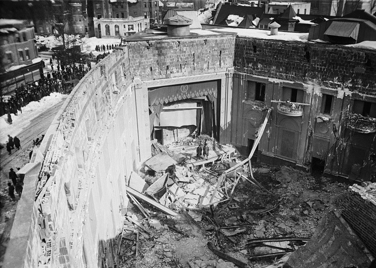
In January 1922, a fierce blizzard tore through the Mid-Atlantic section of the United States, crumbling the Knickerbocker Theatre in Washington D.C., and causing other damage. The weather event, which came to be known as the Knickerbocker Storm, resulted in the deaths of 98 people and 133 additional injuries.
Sault Ste. Marie Public Library Archive
1923: Major snowfall in Sault Ste. Marie
– Average winter temperature: 32.57°F (#47 coldest year; 0.3°F above 100-year average)
– Maximum winter temperature: 43.16°F (#47 coldest year; 0.4°F above 100-year average)
– Minimum winter temperature: 21.99°F (#50 coldest year; 0.3°F above 100-year average)
– Average precipitation: 6.97 in. (#39 wettest year; 0.2 inches above 100-year average)
– Record 1-day snowfall: Sanders County, Alaska on Dec. 13 (36.0 in.)
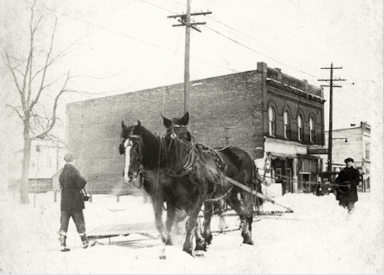
The winter of 1923 was a brutal year for folks in the Midwest, where temperatures were especially low and snowfall was intense. In Sault Ste. Marie, Michigan, where snowfall typically averaged around 70 inches, residents received a staggering 105 inches. By April, the city had amassed more than 9 feet of snow, and residents reportedly had to use horses to clear the streets.
Sheldon, Charles // Shorewood Historical Society
1924: Blizzard in Milwaukee
– Average winter temperature: 32.48°F (#43 coldest year; 0.3°F above 100-year average)
– Maximum winter temperature: 43.16°F (#46 coldest year; 0.4°F above 100-year average)
– Minimum winter temperature: 21.81°F (#44 coldest year; 0.1°F above 100-year average)
– Average precipitation: 6.66 in. (#50 driest year; 0.1 inches below 100-year average)
– Record 1-day snowfall: Kenai Peninsula Borough, Wyoming on Mar. 21 (49.0 in.)
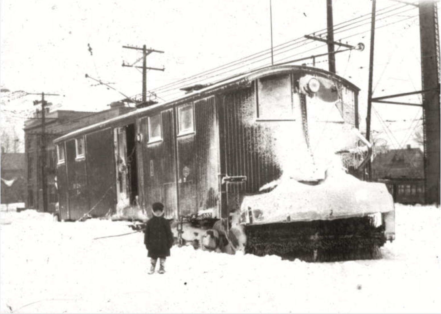
As the 1924 Winter Olympics was wrapping up in Chamonix, France, residents of Milwaukee experienced their own winter storm on Feb. 4 when 20.3 inches of snow fell in 24 hours. The intense weather event, which caused more than $1 million in damage, marked the largest volume of snow in a one-day period in Milwaukee since 1884.
Brown Brothers // Wikimedia Commons
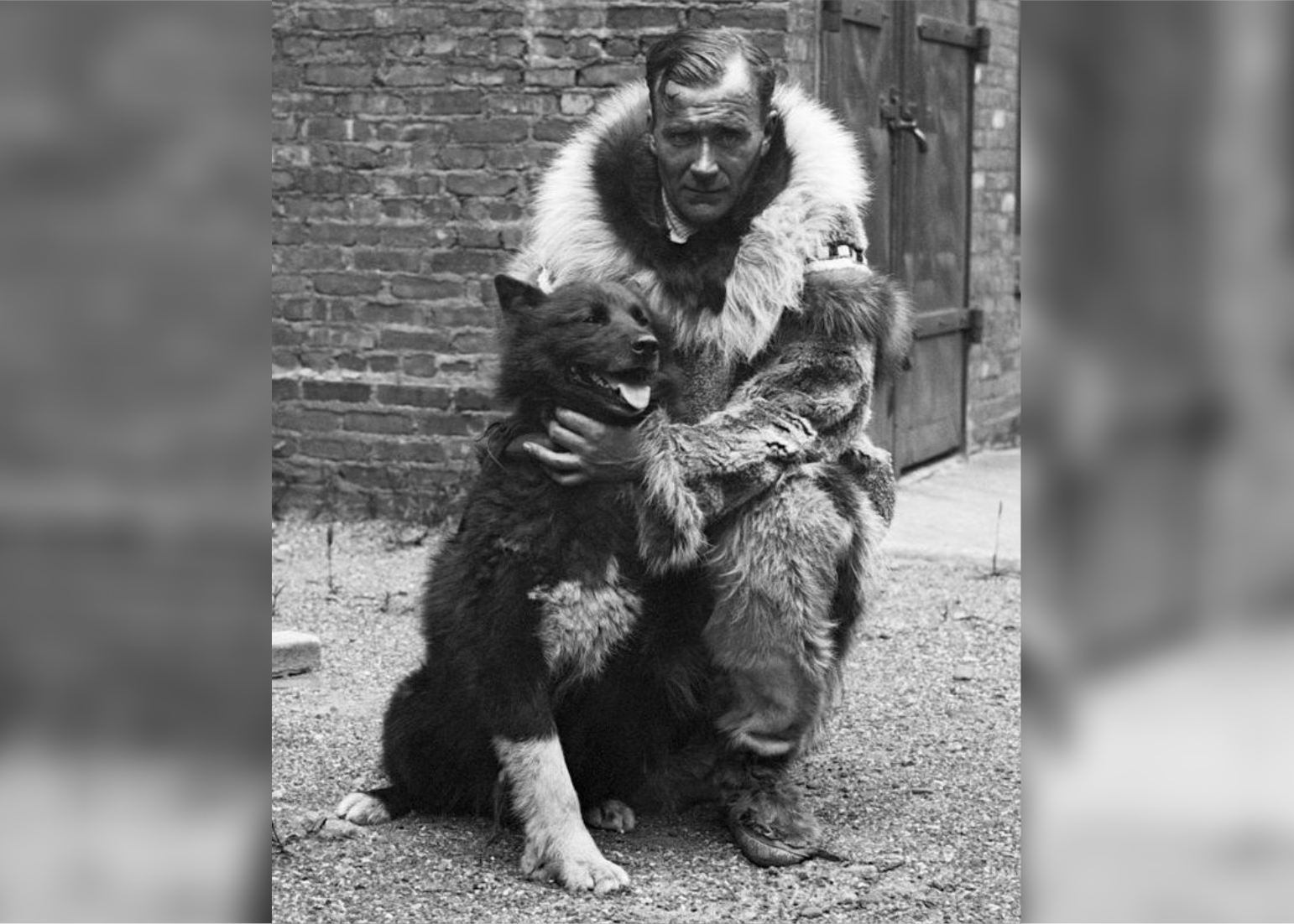
1925: Alaska’s Great Race of Mercy
– Average winter temperature: 31.66°F (#29 coldest year; 0.6°F below 100-year average)
– Maximum winter temperature: 42.49°F (#35 coldest year; 0.2°F below 100-year average)
– Minimum winter temperature: 20.83°F (#22 coldest year; 0.9°F below 100-year average)
– Average precipitation: 6.69 in. (#53 wettest year; 0.1 inches below 100-year average)
– Record 1-day snowfall: Johnson County, Nebraska on Dec. 14 (30.0 in.)
In 1925, the remote town of Nome, Alaska, suffered its worst winter in 20 years. With intense blizzards and sub-zero temperatures raging, an outbreak of diphtheria required emergency vaccine supplies to be delivered via dog sled to the isolated town. The event came to be known as the Great Race of Mercy, and its lead sled dog Balto became a hero memorialized as a statue in New York’s Central Park.
Shipler, Harry // Wikimedia Commons
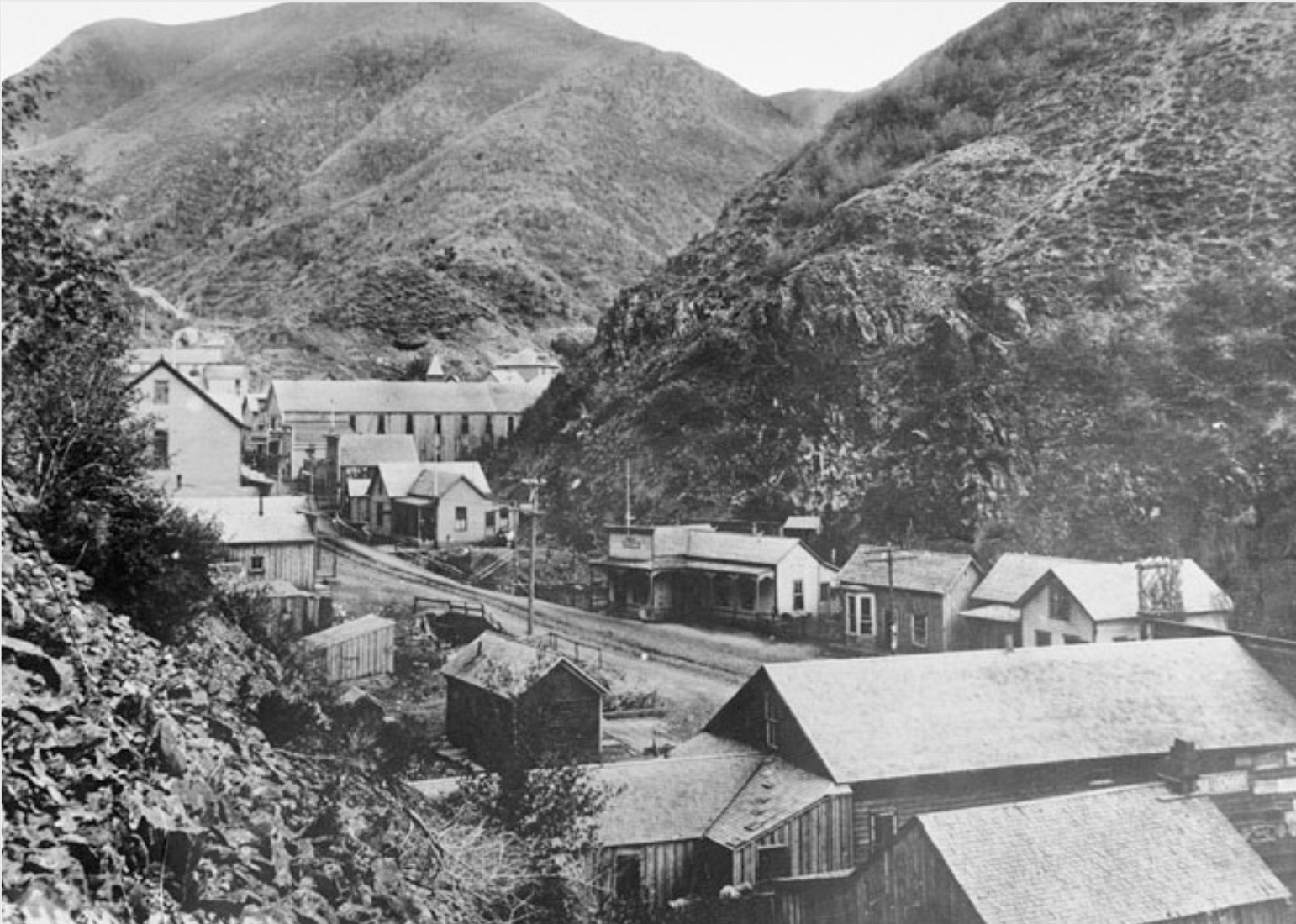
1926: Utah mining town avalanche
– Average winter temperature: 33.49°F (#35 hottest year; 1.3°F above 100-year average)
– Maximum winter temperature: 43.77°F (#41 hottest year; 1.1°F above 100-year average)
– Minimum winter temperature: 23.23°F (#33 hottest year; 1.5°F above 100-year average)
– Average precipitation: 6.07 in. (#22 driest year; 0.7 inches below 100-year average)
– Record 1-day snowfall: Banner County, West Virginia on Feb. 10 (36.0 in.)
On Feb. 17, 1926, a devastating avalanche killed 36 people and injured 13 more in a small Utah mining town in Bingham County when more than a dozen cottages and a three-story boarding house were destroyed. “Because the canyon was so narrow, Bingham only had one street,” wrote Catherine Armstrong for Only In Your State. “Homes lined the street all the way up the canyon for seven miles. Unfortunately, this narrow topography would prove to be deadly.”
You may also like: College majors that earn the most money
Alin Brotea // Shutterstock
1927: Record snowfall in Raleigh, North Carolina
– Average winter temperature: 33.59°F (#32 hottest year; 1.4°F above 100-year average)
– Maximum winter temperature: 43.68°F (#44 hottest year; 1.0°F above 100-year average)
– Minimum winter temperature: 23.52°F (#26 hottest year; 1.8°F above 100-year average)
– Average precipitation: 7.16 in. (#30 wettest year; 0.4 inches above 100-year average)
– Record 1-day snowfall: Tucker County, Idaho on Nov. 30 (42.0 in.)
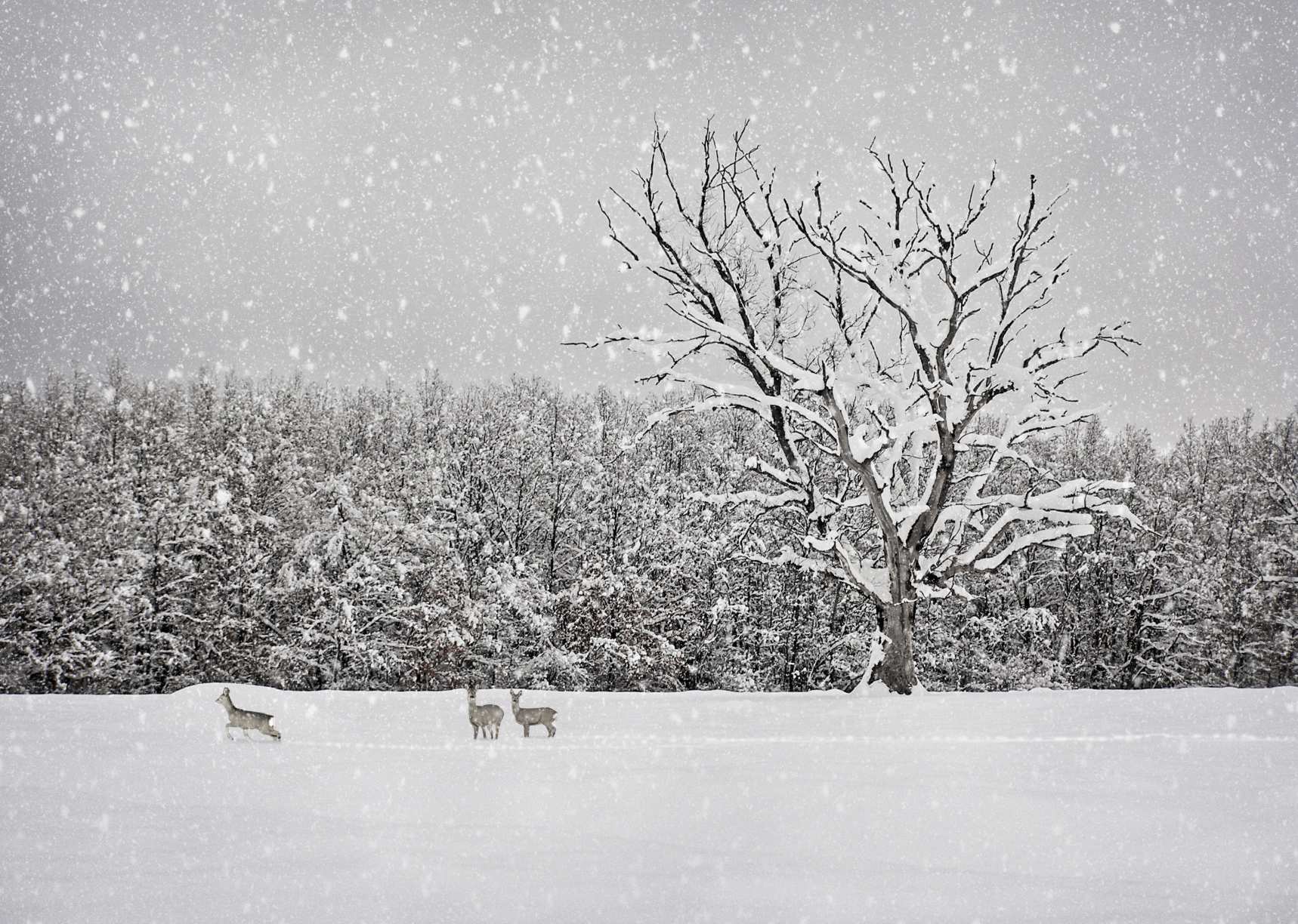
Although the winter of 1927 was fairly mild throughout the United States, the people of Raleigh, North Carolina, experienced an extremely intense winter with record-breaking snowfall. On March 2, the city received 17.8 inches of snow in 24 hours—a record that wasn’t broken for more than seven decades until it received 17.9 inches in January of 2000.
Pixabay
1928: A mild winter everywhere
– Average winter temperature: 31.51°F (#28 coldest year; 0.7°F below 100-year average)
– Maximum winter temperature: 42.25°F (#30 coldest year; 0.5°F below 100-year average)
– Minimum winter temperature: 20.77°F (#20 coldest year; 1.0°F below 100-year average)
– Average precipitation: 5.8 in. (#13 driest year; 1.0 inches below 100-year average)
– Record 1-day snowfall: Custer County, Pennsylvania on Apr. 28 (20.0 in.)
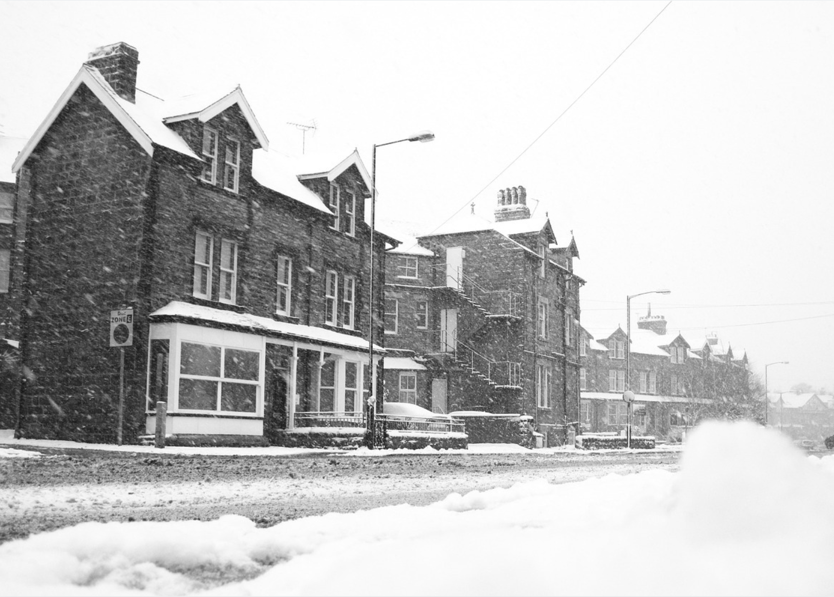
The winter of 1928 was a season of respite, and folks in blizzard-prone regions were spared major storms and catastrophes. The average temperature for most of the country was above average and even the Atlantic hurricane season that preceded it was mild, with no major storms striking U.S. land. This was a major contrast to the previous season, which saw four hurricanes.
Unknown // Wikimedia Commons
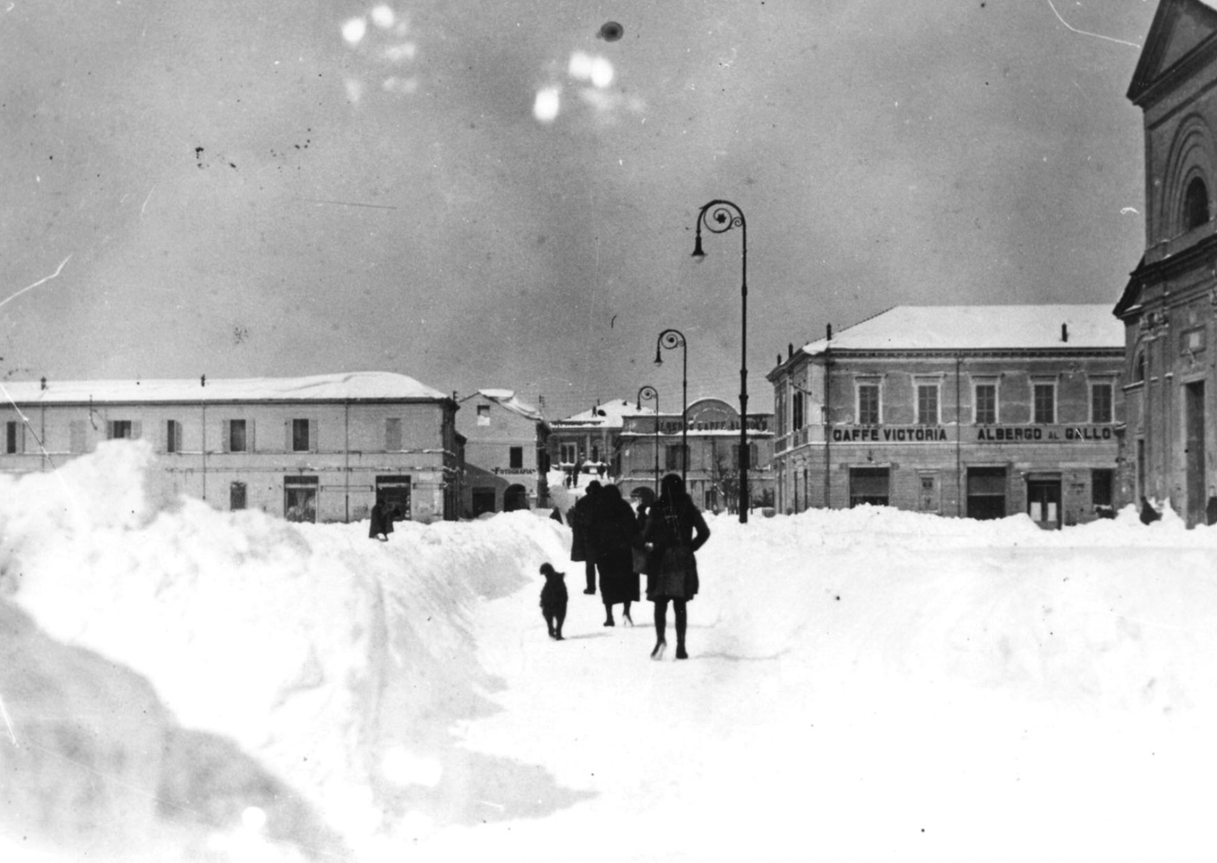
1929: Extreme cold in the U.S—and Europe
– Average winter temperature: 28.72°F (#3 coldest year; 3.5°F below 100-year average)
– Maximum winter temperature: 39.46°F (#4 coldest year; 3.3°F below 100-year average)
– Minimum winter temperature: 17.99°F (#3 coldest year; 3.8°F below 100-year average)
– Average precipitation: 6.12 in. (#25 driest year; 0.7 inches below 100-year average)
– Record 1-day snowfall: Routt County, Colorado on Mar. 2 (30.0 in.)
After two fairly mild winters in a row, 1929 came in with a vengeance, hammering the United States with the third-coldest winter in the last century. It was even worse across the pond, where Europe experienced one of its coldest winters in history. Berlin, for example, was hit with the worst ice wave since 1719, and Vienna saw its lowest temperatures since 1775. As the cities dealt with ice-cold conditions, Europe’s 1,770-mile Danube River froze over completely.
Grand Canyon National Park // Wikimedia Commons
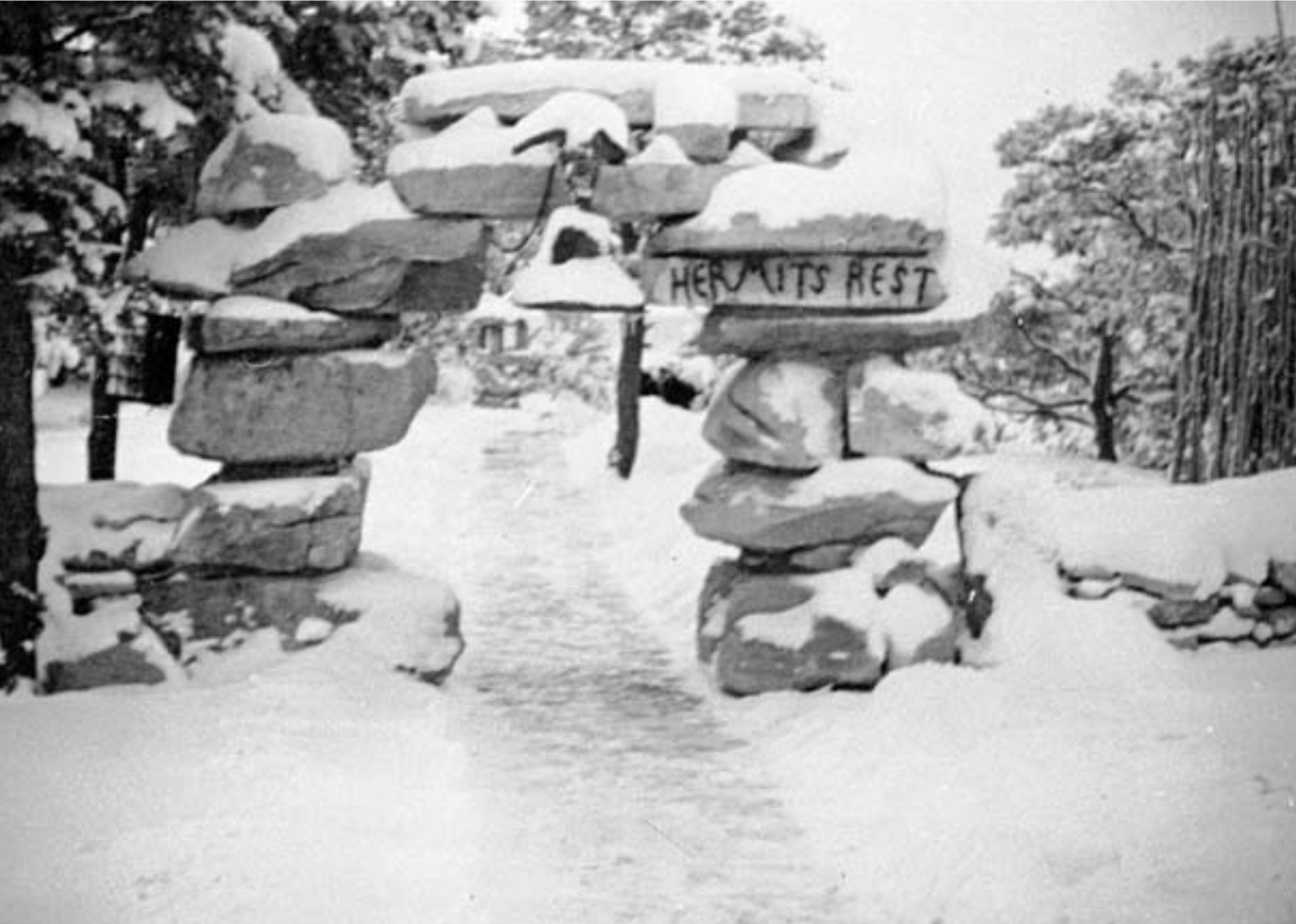
1930: Another moderate season
– Average winter temperature: 32.53°F (#46 coldest year; 0.3°F above 100-year average)
– Maximum winter temperature: 43.37°F (#52 hottest year; 0.7°F above 100-year average)
– Minimum winter temperature: 21.69°F (#42 coldest year; 0.0°F below 100-year average)
– Average precipitation: 6.53 in. (#42 driest year; 0.3 inches below 100-year average)
– Record 1-day snowfall: Marquette County, Virginia on Dec. 17 (22.0 in.)
The winter of 1930 was a big year for innovation: The diesel engine made its first auto voyage, and the first field-effect transistor patent was granted. The season was fairly uneventful weather-wise, though. Temperatures were mild, with an average of 32.5 degrees and no major storms or blizzards to note.

Ed Bierman // Wikimedia Commons
1931: Pleasant Hill Bus Tragedy
– Average winter temperature: 34.03°F (#25 hottest year; 1.8°F above 100-year average)
– Maximum winter temperature: 44.38°F (#25 hottest year; 1.7°F above 100-year average)
– Minimum winter temperature: 23.68°F (#24 hottest year; 1.9°F above 100-year average)
– Average precipitation: 4.68 in. (#2 driest year; 2.1 inches below 100-year average)
– Record 1-day snowfall: Aleutians West Census Area, Colorado on Nov. 22 (40.0 in.)
Average precipitation made the winter of 1931 the second-coldest in the past century. In southeastern Colorado, an especially fierce March blizzard stranded a school bus in freezing temperatures for 33 hours, claiming the lives of five children along with the driver. The tragedy received national attention and led to many safety reforms and a great deal of school bus legislation that’s still in place today.
You may also like: 50 best college movies
Los Angeles Public Library photo collection
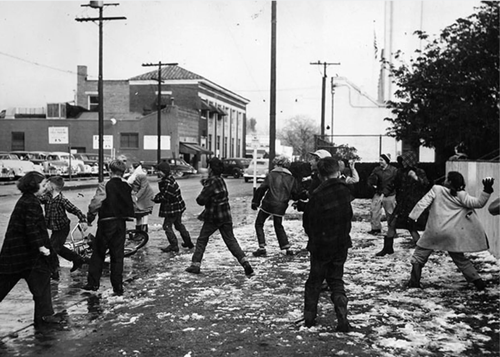
1932: Snowfall in Los Angeles
– Average winter temperature: 34.44°F (#21 hottest year; 2.2°F above 100-year average)
– Maximum winter temperature: 44.31°F (#28 hottest year; 1.6°F above 100-year average)
– Minimum winter temperature: 24.57°F (#15 hottest year; 2.8°F above 100-year average)
– Average precipitation: 8.86 in. (#3 wettest year; 2.1 inches above 100-year average)
– Record 1-day snowfall: Conejos County, Idaho on Dec. 18 (40.0 in.)
While Los Angeles is usually sunny and warm, the winter of 1932 brought a unique snowstorm to Hollywood, covering the region in a blanket of white snow. At the time, the LA Times called it the “first official snowfall recorded in the United States Weather Bureau’s fifty-four year existence in the city.” It was only 2 inches, yet it remains the largest amount of snow the city has ever seen. Elsewhere in the country, temperatures were moderate with no major blizzards.
W.L.Huber // Wikimedia Commons
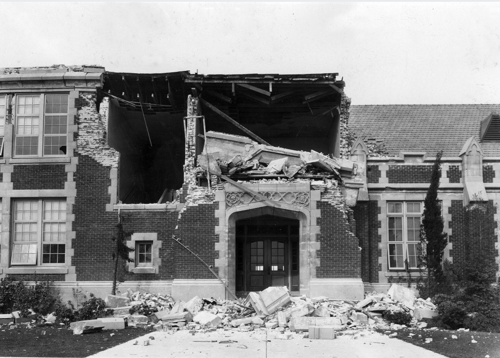
1933: Long Beach earthquake
– Average winter temperature: 31.1°F (#19 coldest year; 1.1°F below 100-year average)
– Maximum winter temperature: 41.94°F (#24 coldest year; 0.8°F below 100-year average)
– Minimum winter temperature: 20.28°F (#14 coldest year; 1.5°F below 100-year average)
– Average precipitation: 7.11 in. (#36 wettest year; 0.3 inches above 100-year average)
– Record 1-day snowfall: Tulare County, California on Jan. 19 (60.0 in.)
Although there weren’t any significant blizzards in 1933, the Long Beach earthquake struck Los Angeles County that winter, resulting in the second-deadliest on record in the contiguous states (after San Francisco’s 1906 quake). The devastating 6.4 magnitude event, which occurred on March 10, resulted in an estimated 115 to 120 deaths and caused roughly $40 million in damage.
United States Department of Agriculture // Wikimedia Commons
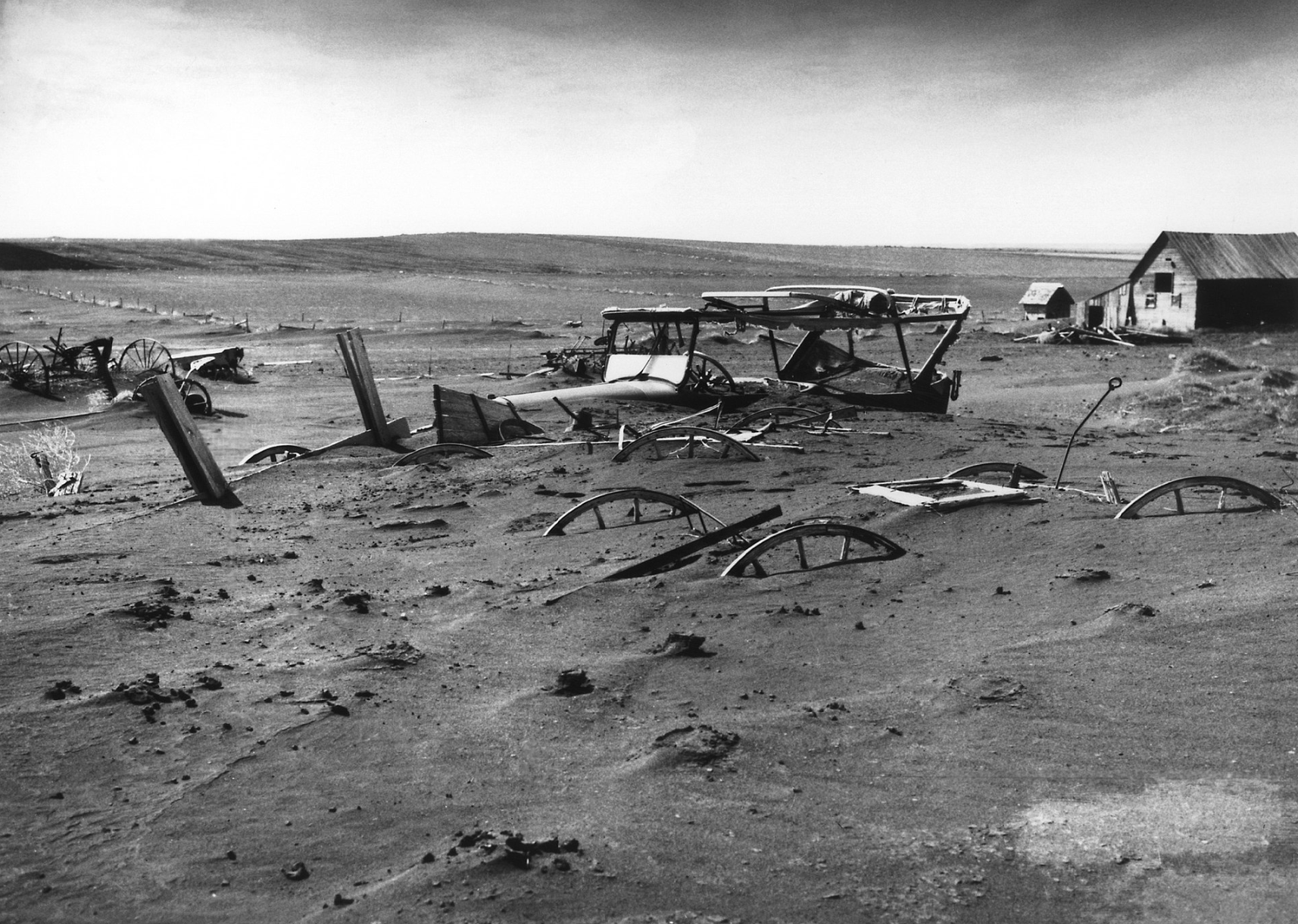
1934: South Dakota’s first Dust Bowl storm
– Average winter temperature: 35.28°F (#14 hottest year; 3.1°F above 100-year average)
– Maximum winter temperature: 46.43°F (#7 hottest year; 3.7°F above 100-year average)
– Minimum winter temperature: 24.14°F (#21 hottest year; 2.4°F above 100-year average)
– Average precipitation: 6.13 in. (#26 driest year; 0.7 inches below 100-year average)
– Record 1-day snowfall: Sublette County, Idaho on Nov. 27 (30.5 in.)
The winter of 1934 was another year that spared the United States any major blizzards; however, South Dakota suffered an intense dust storm leading up to it on Nov. 11. The giant cloud that swept through the Midwestern state was the first to kick off the Dust Bowl, which lasted several years as drought plagued the region.

Lass // Wikimedia Commons
1935: Times Square blizzard
– Average winter temperature: 33.4°F (#37 hottest year; 1.2°F above 100-year average)
– Maximum winter temperature: 43.87°F (#35 hottest year; 1.2°F above 100-year average)
– Minimum winter temperature: 22.92°F (#40 hottest year; 1.2°F above 100-year average)
– Average precipitation: 6.02 in. (#21 driest year; 0.8 inches below 100-year average)
– Record 1-day snowfall: Clearwater County, Washington on Jan. 21 (52.0 in.)
In 1935, a blizzard struck New York City, burying Times Square under nearly a foot and a half of snow. As the Big Apple dealt with its extreme weather situation, places like Baltimore, Newark, and Philadelphia also got pummeled, receiving 10-16 inches of snow.
Seattle Municipal Archives // Flickr
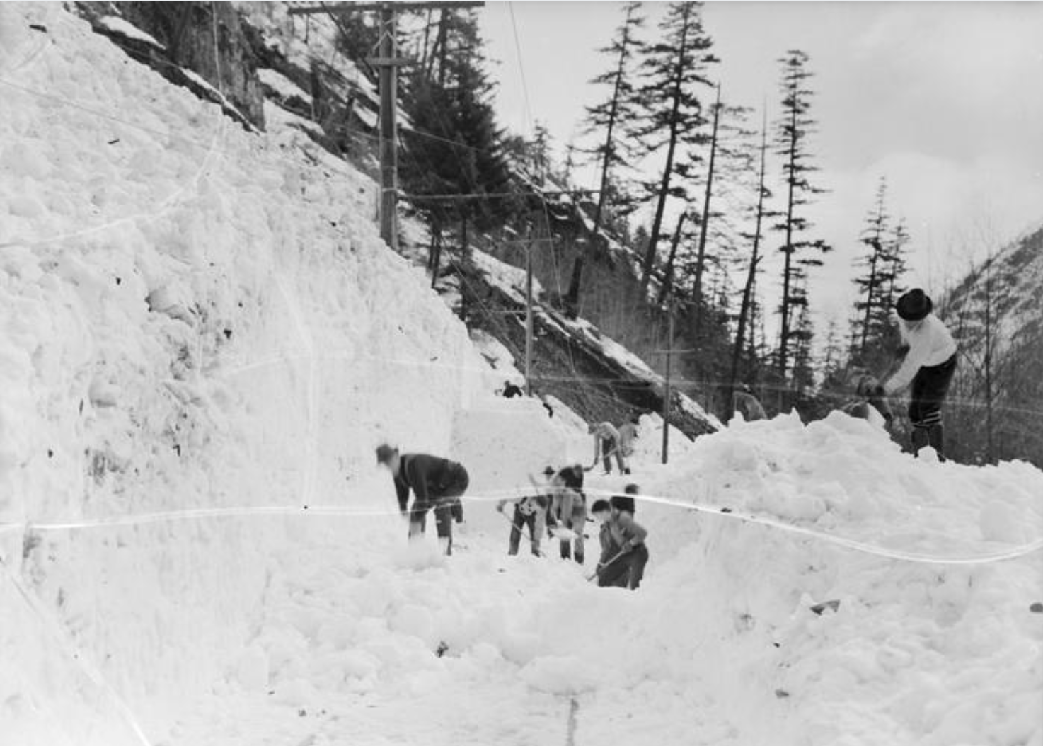
1936: North American Cold Wave
– Average winter temperature: 27.78°F (#2 coldest year; 4.5°F below 100-year average)
– Maximum winter temperature: 38.01°F (#2 coldest year; 4.7°F below 100-year average)
– Minimum winter temperature: 17.53°F (#2 coldest year; 4.2°F below 100-year average)
– Average precipitation: 7.27 in. (#28 wettest year; 0.5 inches above 100-year average)
– Record 1-day snowfall: Okanogan County, West Virginia on Mar. 21 (36.0 in.)
Known as the 1936 North American Cold Wave, this year saw strikingly low temperatures throughout the country—the second-coldest in the past century. The Midwest was affected most as Iowa, Minnesota, and North Dakota experienced their coldest winters on record. February was especially brutal, marking the coldest February on record in the contiguous United States.
You may also like: 50 best colleges in the Midwest
Beaverton Oregon Historical Photo Gallery // Wikimedia Commons
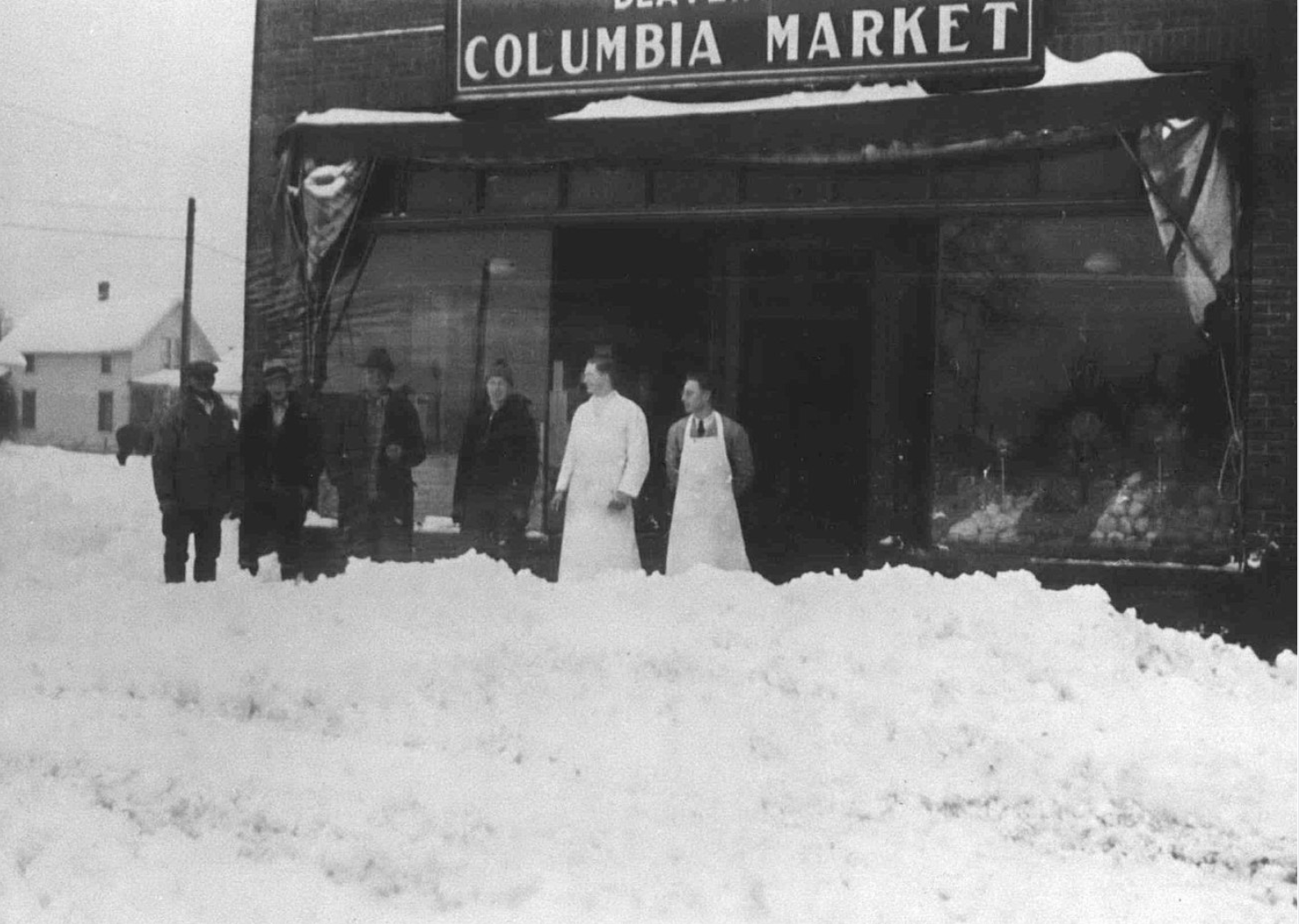
1937: Snowstorms in Oregon
– Average winter temperature: 30.35°F (#7 coldest year; 1.9°F below 100-year average)
– Maximum winter temperature: 40.59°F (#8 coldest year; 2.1°F below 100-year average)
– Minimum winter temperature: 20.09°F (#9 coldest year; 1.7°F below 100-year average)
– Average precipitation: 8.66 in. (#4 wettest year; 1.9 inches above 100-year average)
– Record 1-day snowfall: Tehama County, California on Feb. 4 (39.0 in.)
Although it’s typically a fairly mild state weather-wise, Oregon received a huge amount of snow over the winter of 1937. Between Jan. 31 and Feb. 1, a heavy blizzard dumped nearly 17 inches in Portland and 2 feet in Salem—a number that remains the latter’s record snowfall. Meanwhile, as the cities dug themselves out, giant snowdrifts blocked highways throughout the Cascade Range.
Bill Brinkman // NASA Astronomy Picture of the Day
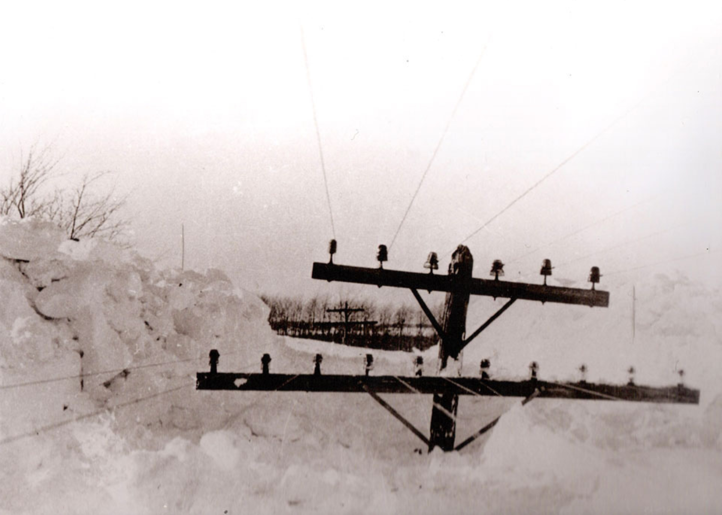
1938: Michigan’s great snowstorm
– Average winter temperature: 33.61°F (#31 hottest year; 1.4°F above 100-year average)
– Maximum winter temperature: 43.43°F (#50 hottest year; 0.7°F above 100-year average)
– Minimum winter temperature: 23.79°F (#23 hottest year; 2.1°F above 100-year average)
– Average precipitation: 6.95 in. (#41 wettest year; 0.2 inches above 100-year average)
– Record 1-day snowfall: Archuleta County, Nevada on Feb. 11 (41.0 in.)
Michigan was the recipient of nature’s frigid fury in 1938 when the Upper Peninsula region was pounded with 50-mile-per-hour winds during a storm NPR called “surreal.” The blizzard trapped students in schools, stalled trains, and caused several fires. Damages in the city of Marquette—the epicenter of the vicious weather—amounted to what would be about $6.5 million today.
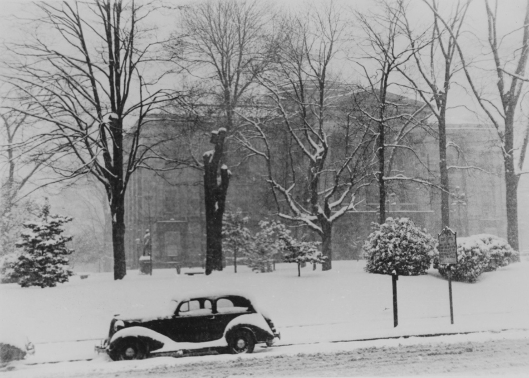
State Archives of North Carolina Raleigh, NC // Flickr
1939: Washoe County snowfall record
– Average winter temperature: 32.7°F (#49 coldest year; 0.5°F above 100-year average)
– Maximum winter temperature: 43.39°F (#51 hottest year; 0.7°F above 100-year average)
– Minimum winter temperature: 22.02°F (#52 hottest year; 0.3°F above 100-year average)
– Average precipitation: 7.13 in. (#33 wettest year; 0.3 inches above 100-year average)
– Record 1-day snowfall: Washoe County, Maine on Mar. 13 (38.0 in.)
Although plenty of storms blew through in 1938, the following year was fairly mild, with moderate temperatures and semi-average precipitation. The people of Washoe County in Nevada, however, saw a record one-day snowfall on Feb. 11 when the region was pummeled with 41 inches—almost 3.5 feet.
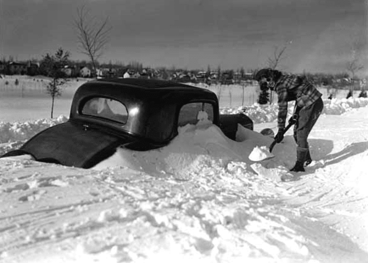
National Weather Service
1940: Armistice Day Blizzard
– Average winter temperature: 31.8°F (#33 coldest year; 0.4°F below 100-year average)
– Maximum winter temperature: 41.94°F (#25 coldest year; 0.8°F below 100-year average)
– Minimum winter temperature: 21.65°F (#41 coldest year; 0.1°F below 100-year average)
– Average precipitation: 6.79 in. (#48 wettest year; 0.0 inches above 100-year average)
– Record 1-day snowfall: Oxford County, New Mexico on Nov. 24 (36.0 in.)
The Armistice Day blizzard was a disastrous, far-reaching storm that pelted the Midwest with snow and 50-mile-per-hour winds from November 10-12. The blizzard caused 145 fatalities, many of which came from a large group of duck hunters who became stranded on the Mississippi River as 5-foot waves washed out their encampments. Some froze while others drowned. One notable survivor was Gerald Tarras, a Minneapolis boy who huddled between two labrador retrievers. His father, brother, and uncle froze to death, but the dogs’ body heat is credited with the child’s survival.
#N/A
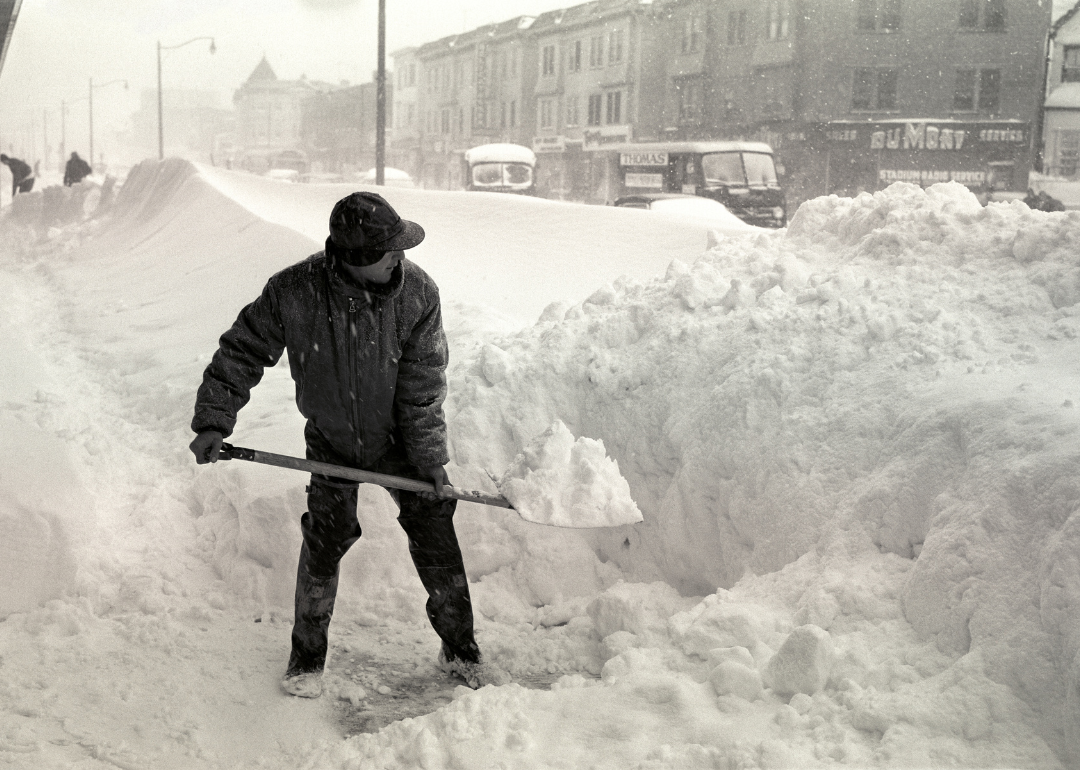
Photo Media/ClassicStock/Getty Images
1941: Ides of March blizzard
– Average winter temperature: 36.12°F (#12 hottest year; 10.5% above 100-year average)
– Maximum winter temperature: 45.66°F (#20 hottest year; 6.8% above 100-year average)
– Minimum winter temperature: 26.56°F (#7 hottest year; 17.5% above 100-year average)
– Average precipitation: 2.81 in. (#25 wettest year; 19.6% above 100-year average)
– Record one-day snowfall: Colfax County, NM on Nov. 24 (36 in.)
On March 15, 1941, a brutal storm tore through the Red River Valley along the Minnesota-North Dakota border, killing 72 people. A large number of folks who perished in what came to be known as the Ides of March blizzard were stranded motorists. “It slammed into the valley virtually out of nowhere with the force of a tornado or a hurricane, and turned what had been a bright, sunny, warm springlike day into a raging nightmare,” wrote Kevin Bonham for Inforum.
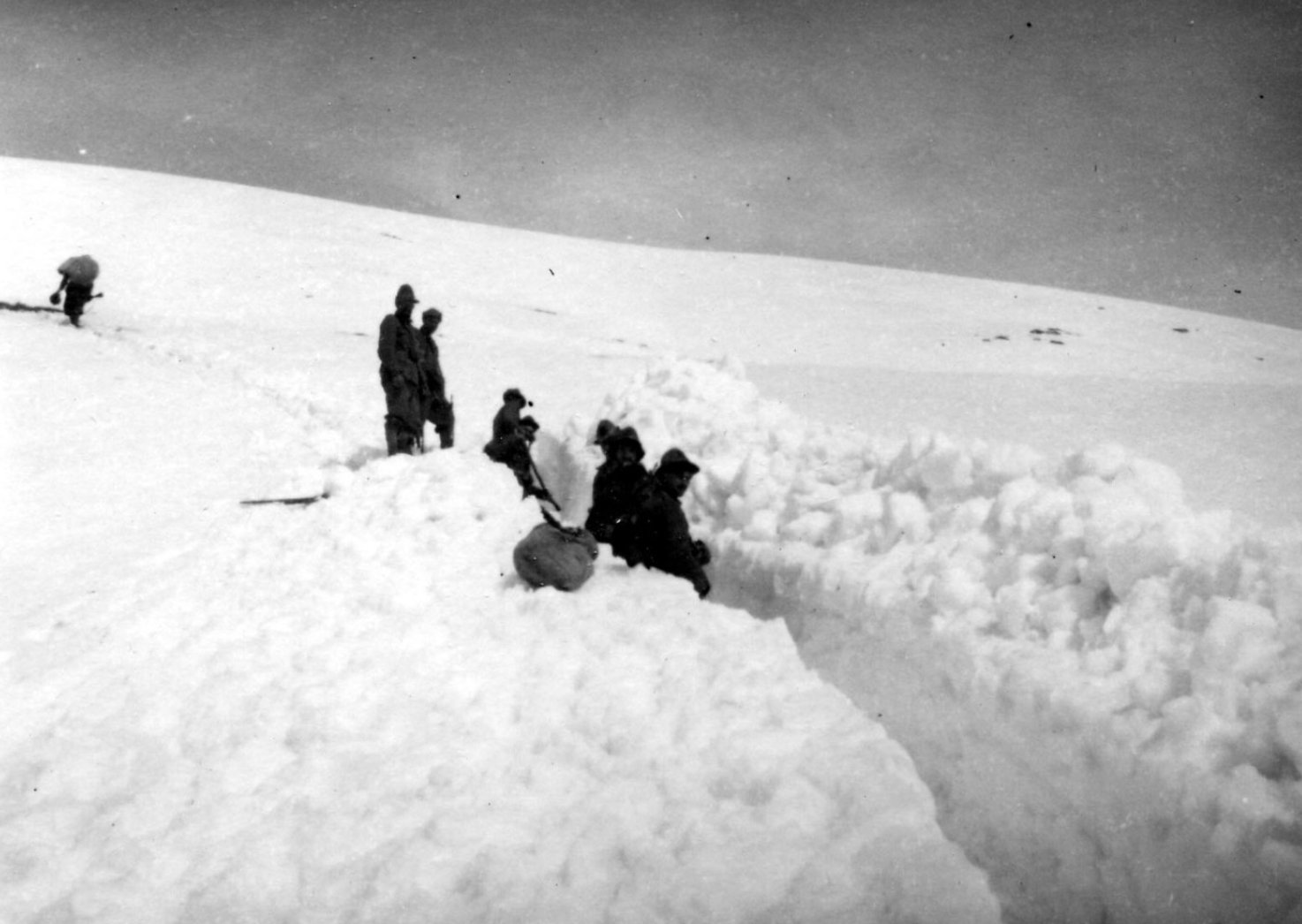
ildirettore // Wikimedia Commons
1942: Midwestern New Year’s blizzard
– Average winter temperature: 32.23°F (#41 coldest year; 0.0°F above 100-year average)
– Maximum winter temperature: 42.49°F (#36 coldest year; 0.2°F below 100-year average)
– Minimum winter temperature: 21.95°F (#46 coldest year; 0.2°F above 100-year average)
– Average precipitation: 6.39 in. (#36 driest year; 0.4 inches below 100-year average)
– Record 1-day snowfall: Lake County, Maryland on Mar. 29 (31.0 in.)
The Midwest was once again the subject of winter’s wrath in 1942 when a blizzard swept across the region, burying it beneath 2 feet of snow in some places. The storm, which occurred on New Year’s Day, kicked off a cold spell that plunged temperatures into single digits. Ames, Iowa, hit a frigid 24 degrees below zero. A photographer who became stranded in the blizzard turned his experience into a two-page magazine spread.
You may also like: 50 best beach towns to live in
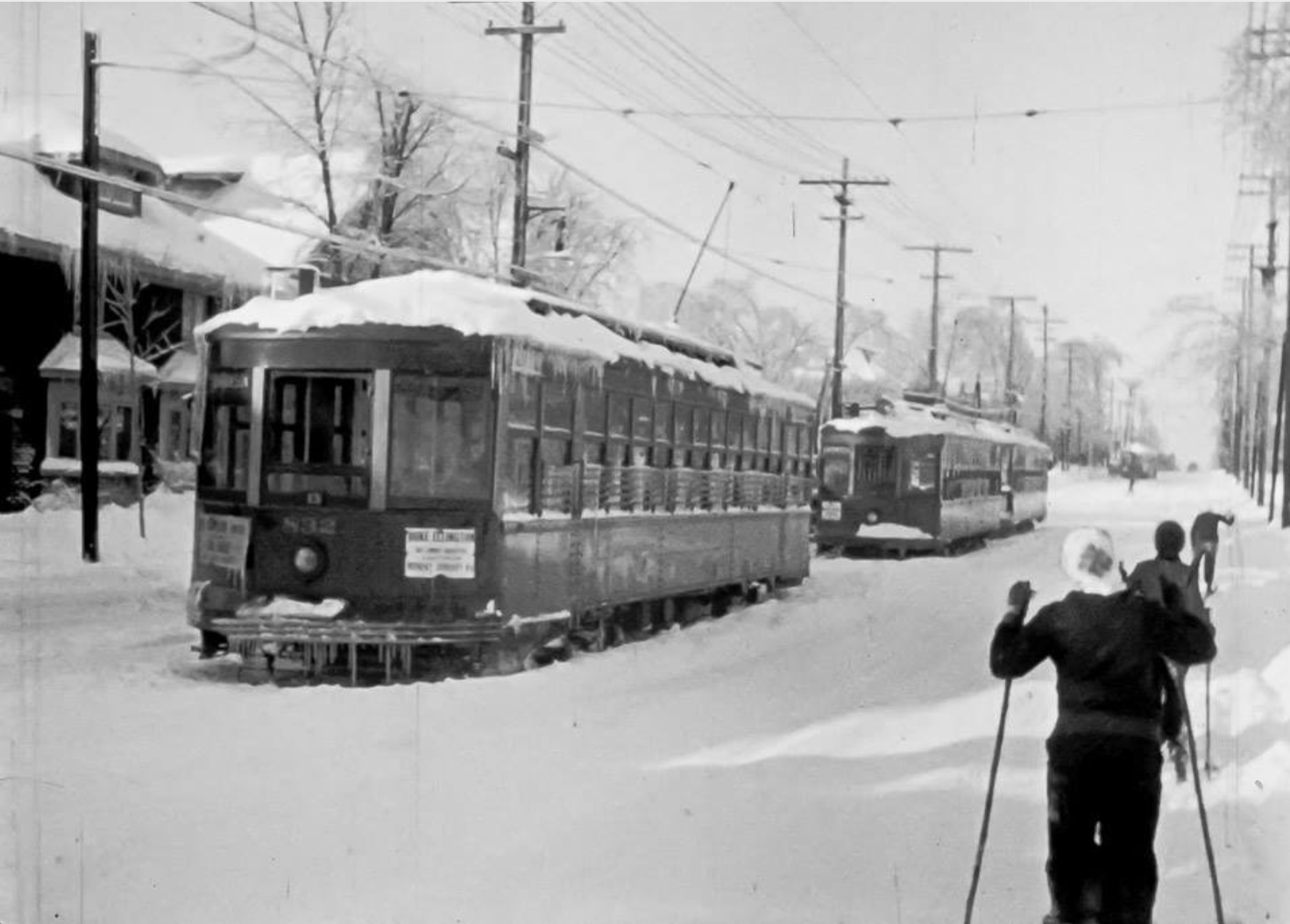
Ross Dun // Flickr
1943: Northern Rockies storm in January
– Average winter temperature: 32.89°F (#53 hottest year; 0.7°F above 100-year average)
– Maximum winter temperature: 44.04°F (#33 hottest year; 1.3°F above 100-year average)
– Minimum winter temperature: 21.74°F (#43 coldest year; 0.0°F above 100-year average)
– Average precipitation: 6.48 in. (#39 driest year; 0.3 inches below 100-year average)
– Record 1-day snowfall: Washington County, Washington on Jan. 20 (44.0 in.)
From Jan. 18-25, a dangerous Category 5 storm spread across the Northern Rockies and Plains, affecting residents in Montana, Wyoming, Nebraska, North Dakota, and South Dakota. Apart from this major storm, that winter was fairly mild, with an average temperature of about 33 degrees.
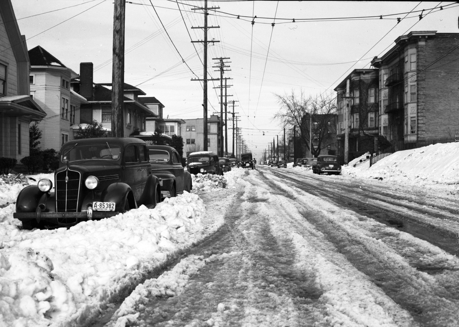
Seattle Municipal Archives // Flickr
1944: California storm inspires a famous photo
– Average winter temperature: 33.04°F (#48 hottest year; 0.8°F above 100-year average)
– Maximum winter temperature: 43.64°F (#46 hottest year; 0.9°F above 100-year average)
– Minimum winter temperature: 22.44°F (#46 hottest year; 0.7°F above 100-year average)
– Average precipitation: 6.28 in. (#32 driest year; 0.5 inches below 100-year average)
– Record 1-day snowfall: Chelan County, California on Feb. 22 (38.0 in.)
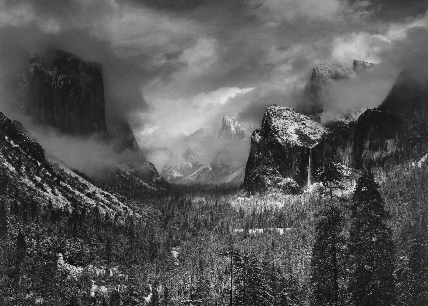
It was a relatively warm year in 1944; however, the aftermath of a light snowstorm in California’s Sierra Nevada mountains inspired one of famed photographer Ansel Adams’ better-known images: “Clearing Winter Storm.” As the name suggests, the photograph depicts snowfall and swirling clouds as a storm clears in Yosemite National Park.
redeyexxx // Flickr
1945: Great Midwestern snowstorm
– Average winter temperature: 32.15°F (#39 coldest year; 0.1°F below 100-year average)
– Maximum winter temperature: 42.32°F (#32 coldest year; 0.4°F below 100-year average)
– Minimum winter temperature: 21.97°F (#48 coldest year; 0.2°F above 100-year average)
– Average precipitation: 6.61 in. (#46 driest year; 0.2 inches below 100-year average)
– Record 1-day snowfall: Wasatch County, Iowa on Feb. 21 (19.0 in.)
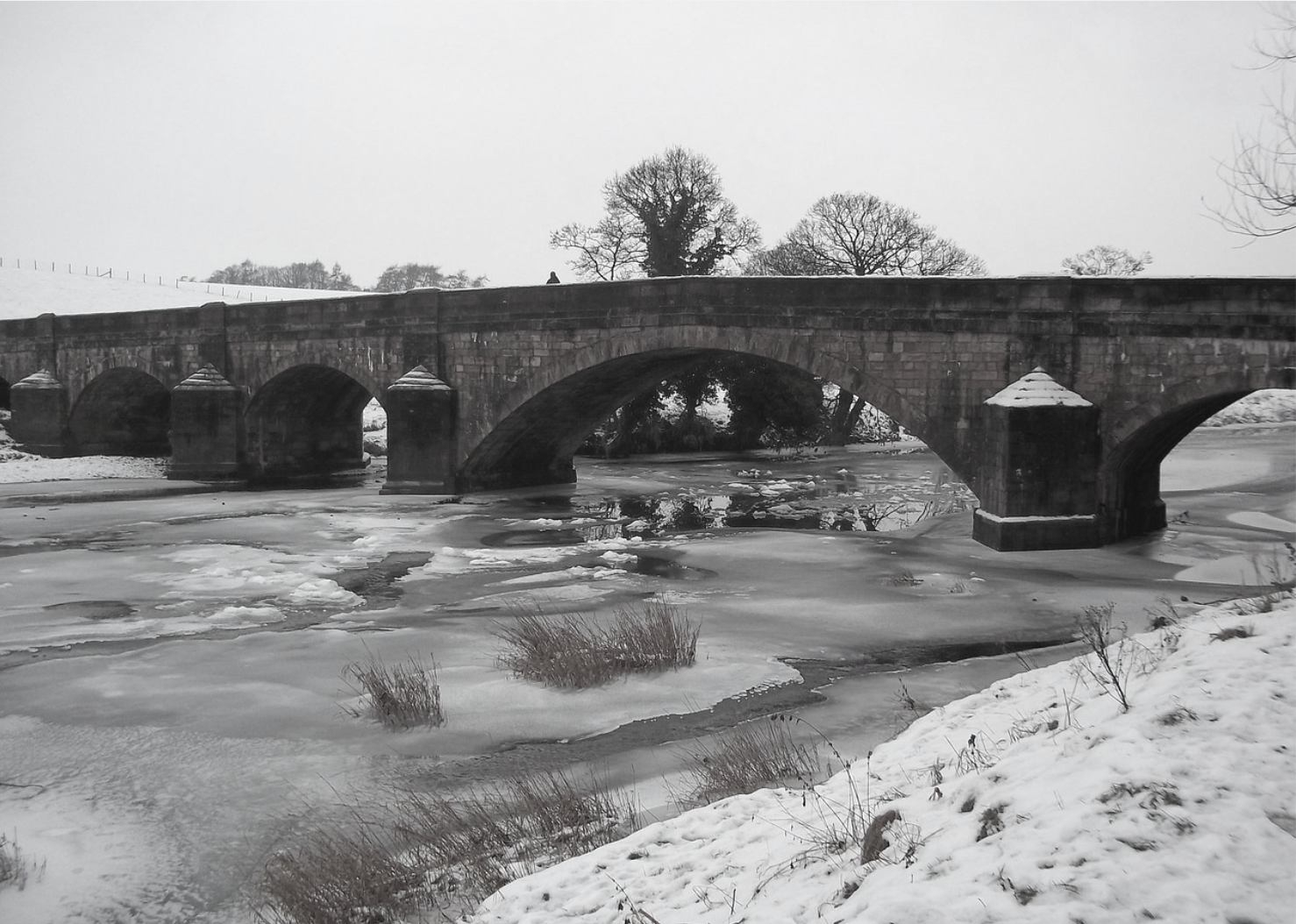
Although 1945 wasn’t a cold winter overall, a December blizzard early in the season created havoc in the Midwest, killing 25 people and dumping snow onto a large swath of the U.S. and southeastern Canada. “Airports were clogged, flights were cancelled, and cars were stranded while inch after inch of snow blanketed the entire United States,” wrote Jessica Hilburn for Titusville’s NWPA Stories.
Pixabay
1946: Moderately warm temperatures nationwide
– Average winter temperature: 31.78°F (#32 coldest year; 0.4°F below 100-year average)
– Maximum winter temperature: 42.68°F (#39 coldest year; 0.0°F below 100-year average)
– Minimum winter temperature: 20.89°F (#23 coldest year; 0.8°F below 100-year average)
– Average precipitation: 7.3 in. (#26 wettest year; 0.5 inches above 100-year average)
– Record 1-day snowfall: Mariposa County, Colorado on Nov. 4 (48.0 in.)
The winter of 1946 was a moderate year, with temperatures that were warmer than average, particularly in Kansas, Nebraska, and Montana, which had enjoyed the warmest January-March period on record up to that time. “Temperatures during 1946 averaged higher than usual over practically the entire country, with the exception of California and Oregon,” wrote Robert N. Culnan for the Monthly Weather Review.
Mennonite Church USA Archives // Flickr
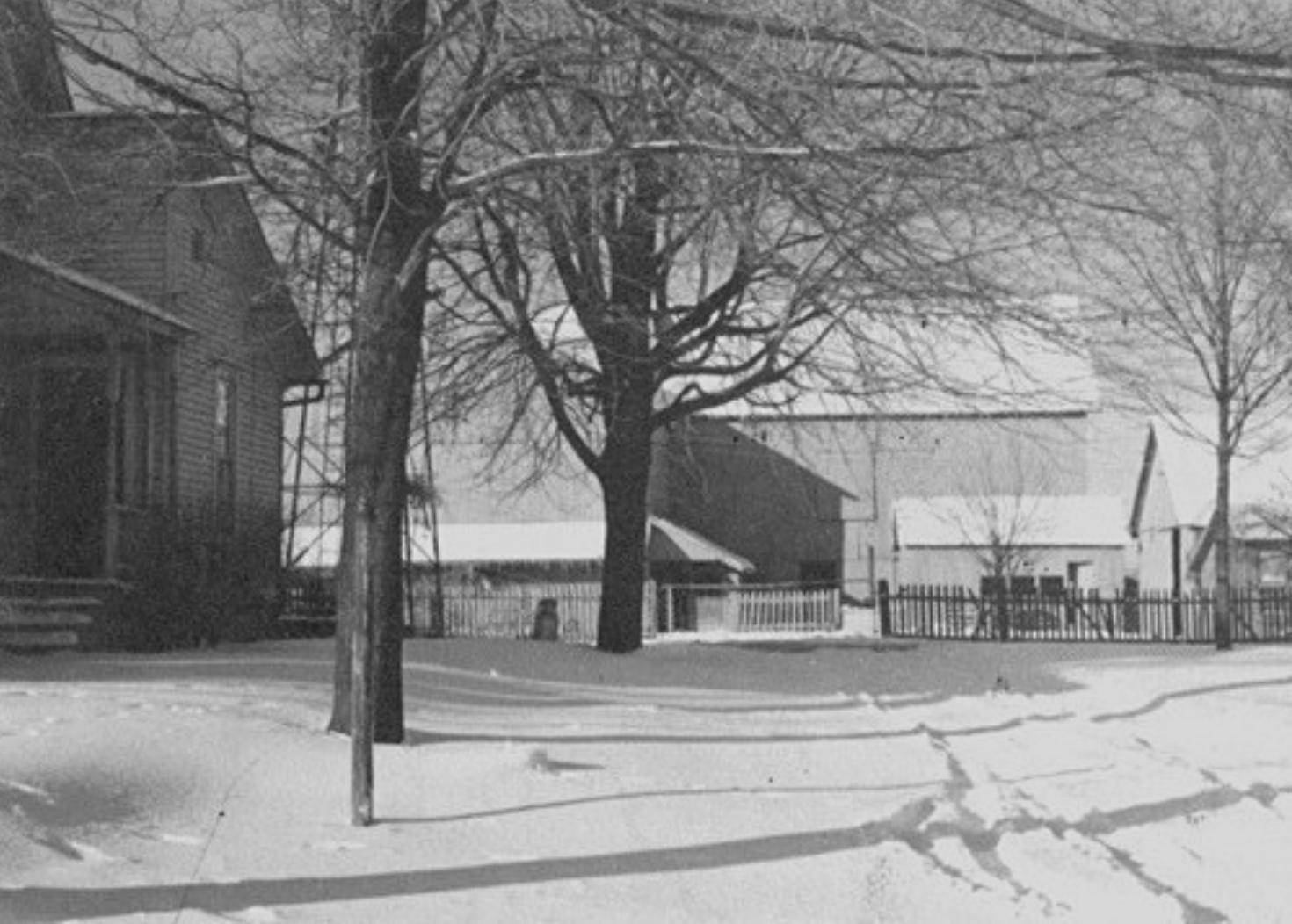
1947: Colorado blizzard
– Average winter temperature: 33.12°F (#44 hottest year; 0.9°F above 100-year average)
– Maximum winter temperature: 44.07°F (#32 hottest year; 1.4°F above 100-year average)
– Minimum winter temperature: 22.17°F (#50 hottest year; 0.4°F above 100-year average)
– Average precipitation: 5.4 in. (#5 driest year; 1.4 inches below 100-year average)
– Record 1-day snowfall: Huerfano County, Alaska on Feb. 5 (30.0 in.)
During the 1947 winter season, temperatures were average throughout most of the country and precipitation was lighter than normal. In the months leading up to the winter, Colorado’s Eastern Plains experienced one of the biggest blizzards in the state’s history. On Nov. 2, 1946, a storm swept the state. Denver reported 30.4 inches—about 2.5 feet—while other parts of the state received up to 3 feet of snow.
You may also like: Best places to retire in every state
sergios // Shutterstock
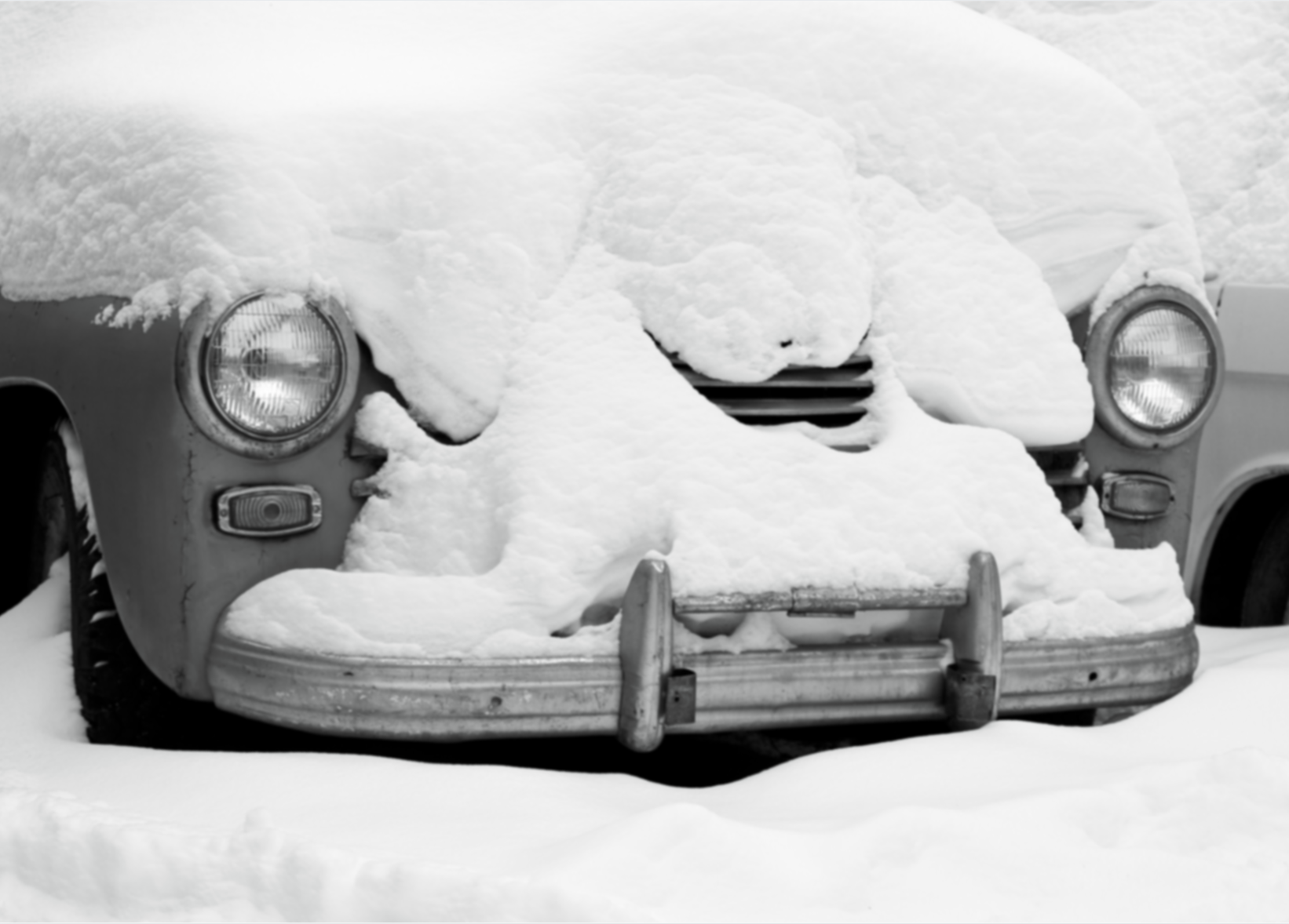
1948: North American blizzard of 1947
– Average winter temperature: 30.81°F (#15 coldest year; 1.4°F below 100-year average)
– Maximum winter temperature: 41.47°F (#17 coldest year; 1.2°F below 100-year average)
– Minimum winter temperature: 20.14°F (#10 coldest year; 1.6°F below 100-year average)
– Average precipitation: 6.51 in. (#41 driest year; 0.3 inches below 100-year average)
– Record 1-day snowfall: Bergen County, California on Dec. 27 (26.0 in.)
This historic storm has come to be known as the “North American blizzard of 1947” because it began in late December of that year; however, it occurred at the beginning of the 1948 winter season. During the sensational weather event, record-breaking snowfall blanketed most of the country, though most states were spared heavy winds. The snowfall began on Christmas Day and continued through Dec. 26, during which time New York’s Central Park received more than 2 feet of snow.
National Archives and Records Administration // Wikimedia Commons
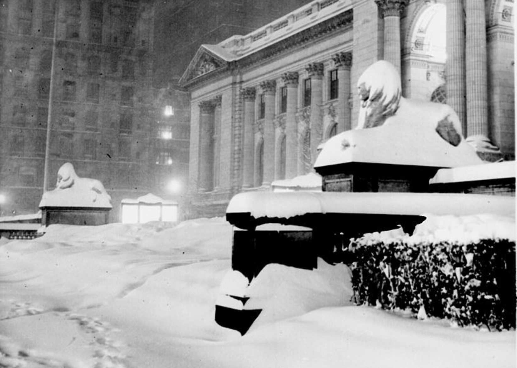
1949: Nebraska’s great blizzard
– Average winter temperature: 30.14°F (#6 coldest year; 2.1°F below 100-year average)
– Maximum winter temperature: 40.47°F (#6 coldest year; 2.2°F below 100-year average)
– Minimum winter temperature: 19.81°F (#8 coldest year; 1.9°F below 100-year average)
– Average precipitation: 8.15 in. (#10 wettest year; 1.4 inches above 100-year average)
– Record 1-day snowfall: Colusa County, South Dakota on Jan. 5 (48.0 in.)
It was Nebraska that fell victim to some of the country’s more intense weather during the winter of 1949—one of the worst on record for the Cornhusker State. On Nov. 18, heavy winds whipped through the Great Plains, pounding the entire region with snow and sleet. Writing for the Ganzel Group, Claudia Reinhardt and Bill Ganzel described the storm as such: “Roads were blocked, schools closed, snow drifted over rooftops and livestock were stranded. Travelers filled hotels to overflowing. Trains were stuck, and telephone service was disrupted. The Weather Bureau called the storm ‘one of the most severe blizzards on record.'”
National Weather Service
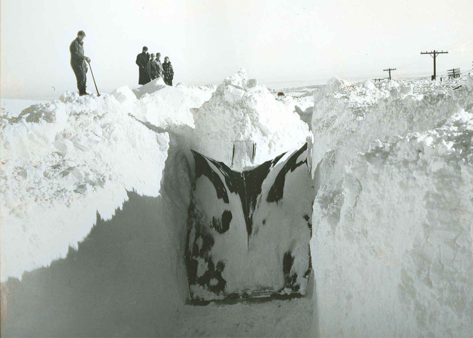
1950: Arctic storms in the Pacific Northwest
– Average winter temperature: 33.08°F (#46 hottest year; 0.9°F above 100-year average)
– Maximum winter temperature: 44.18°F (#31 hottest year; 1.5°F above 100-year average)
– Minimum winter temperature: 22°F (#53 hottest year; 0.3°F above 100-year average)
– Average precipitation: 7.81 in. (#15 wettest year; 1.0 inches above 100-year average)
– Record 1-day snowfall: Jackson County, West Virginia on Nov. 25 (36.0 in.)
On Jan. 13, 1950, the Pacific Northwest, particularly northern Washington, was pounded by one of its heaviest winter storms on record. Not only did several feet of snow pummel the region, it was accompanied by hurricane-force winds and frigid, single-digit temperatures. To make matters worse, the January storm was only the first in a series of arctic storms that would disrupt the area all winter long.
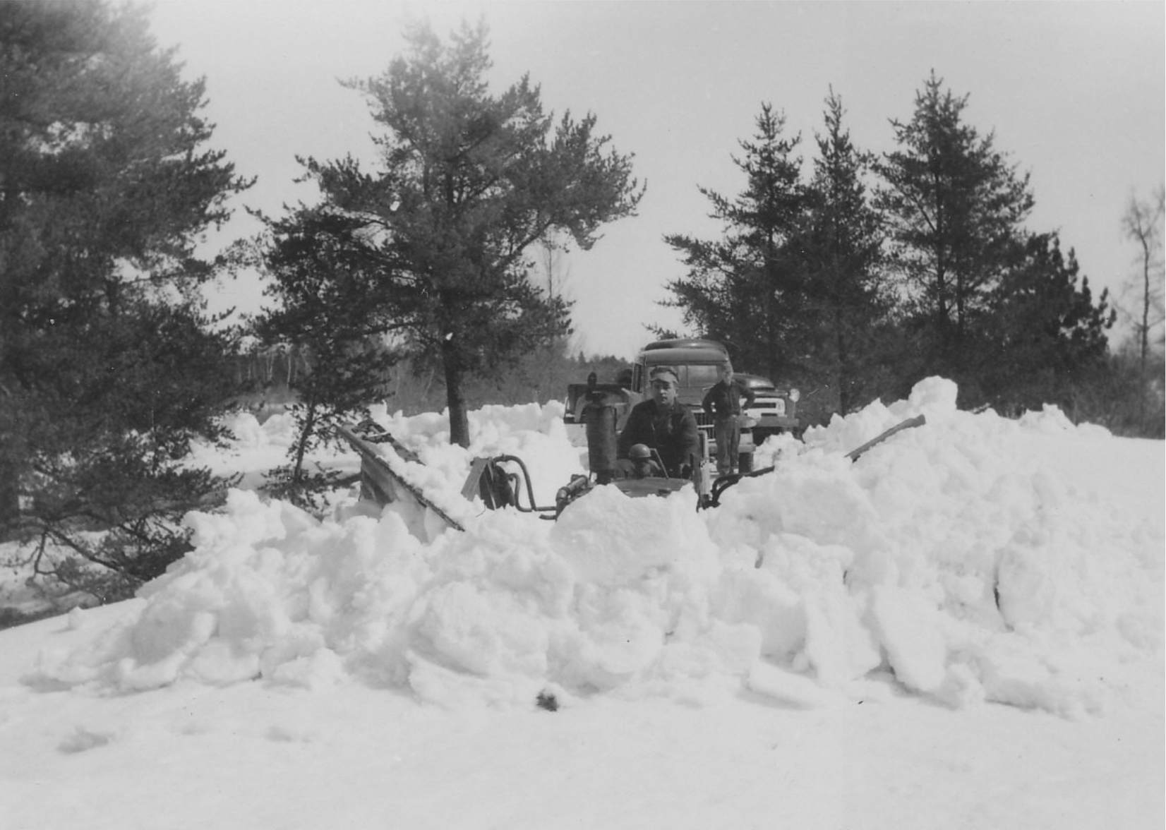
Seney Natural History Association // FLickr
1951: Great Appalachian Storm
– Average winter temperature: 32.58°F (#48 coldest year; 0.4°F above 100-year average)
– Maximum winter temperature: 43.66°F (#45 hottest year; 0.9°F above 100-year average)
– Minimum winter temperature: 21.51°F (#38 coldest year; 0.2°F below 100-year average)
– Average precipitation: 6.54 in. (#44 driest year; 0.3 inches below 100-year average)
– Record 1-day snowfall: Sitka City and Borough, Alaska on Mar. 11 (42.0 in.)
In November 1950, as the 1950–51 winter season was getting underway, a historically massive storm hit the Appalachian region of the U.S. on Thanksgiving weekend. The NOAA called it “one of the most damaging and meteorologically unique winter storms to strike the eastern United States.” When all was said and done, the weather event had covered the region in 57 inches of snow—nearly 5 feet—earning the title of the most costly storm on record at that time.
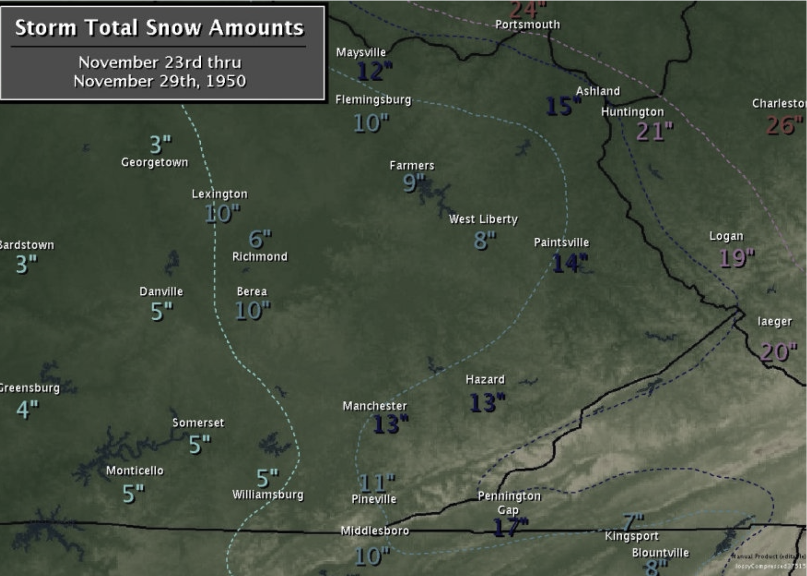
National Weather Service
1952: February nor’easter
– Average winter temperature: 32.9°F (#51 hottest year; 0.7°F above 100-year average)
– Maximum winter temperature: 43.29°F (#53 hottest year; 0.6°F above 100-year average)
– Minimum winter temperature: 22.48°F (#45 hottest year; 0.7°F above 100-year average)
– Average precipitation: 7.56 in. (#21 wettest year; 0.8 inches above 100-year average)
– Record 1-day snowfall: Yuba County, California on Jan. 14 (75.0 in.)
New England experienced the brunt of the 1952 winter when a Category 1 storm rolled in, hammering the area with hurricane-force winds and heavy snow. Forty-two people were killed and more than 1,000 motorists were stranded on highways. Offshore, at least two ships cracked amid the strong winds.
You may also like: 50 most common jobs in America 100 years ago
Fortepan // Wikimedia Commons
1953: Warm temps in the US as Europe is hammered
– Average winter temperature: 35.25°F (#16 hottest year; 3.0°F above 100-year average)
– Maximum winter temperature: 45.61°F (#15 hottest year; 2.9°F above 100-year average)
– Minimum winter temperature: 24.88°F (#12 hottest year; 3.1°F above 100-year average)
– Average precipitation: 7.15 in. (#31 wettest year; 0.4 inches above 100-year average)
– Record 1-day snowfall: Kodiak Island Borough, Utah on Feb. 9 (34.0 in.)
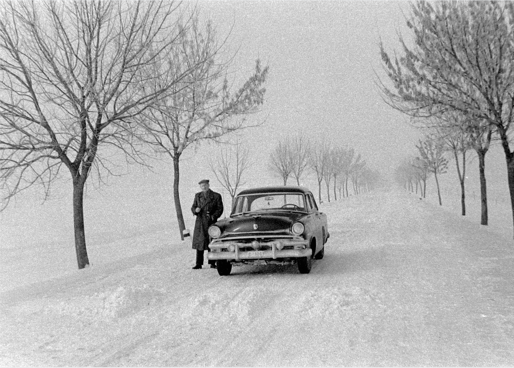
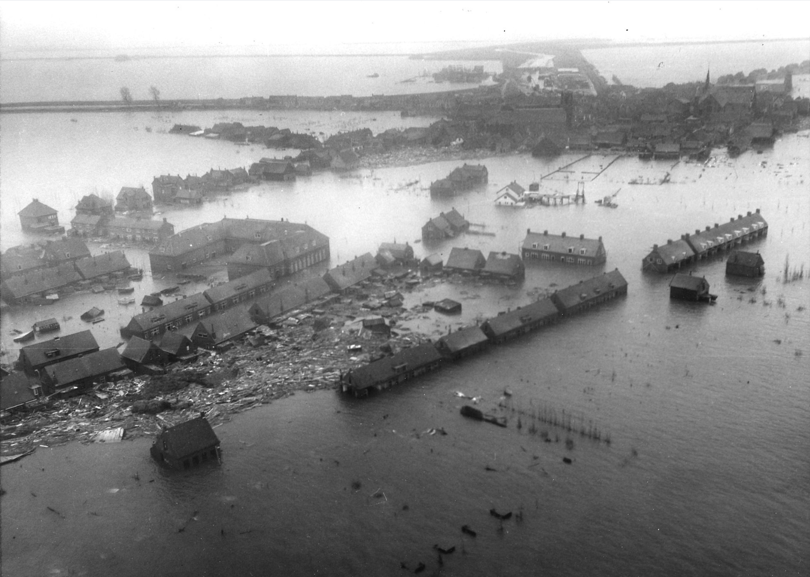
In the United States, the winter of 1953 was a warm year with above-average temperatures and below-average precipitation. Even its record one-day snowfall was lower than usual, with 24 inches in Kodiak, Alaska. Europe, however, suffered one of its fiercest storms in history. Striking off the East Coast of England, it resulted in the deaths of hundreds, and caused widespread flooding.
Agency for International Development // Wikimedia Commons
1954: Montana sets record for coldest day
– Average winter temperature: 35.33°F (#13 hottest year; 3.1°F above 100-year average)
– Maximum winter temperature: 46.51°F (#6 hottest year; 3.8°F above 100-year average)
– Minimum winter temperature: 24.15°F (#20 hottest year; 2.4°F above 100-year average)
– Average precipitation: 6.53 in. (#43 driest year; 0.3 inches below 100-year average)
– Record 1-day snowfall: Lassen County, California on Jan. 17 (38.0 in.)
Although the nation as a whole experienced a warmer-than-average winter in 1954, Montana set an all-time record for the coldest day in recorded history of the contiguous U.S. The record occurred on Jan. 20 when a temperature of 70 degrees below zero was clocked at Rogers Pass. Precipitation was also lower than usual that year, with an average of just over 6.5 inches.
George Marks // Getty Images
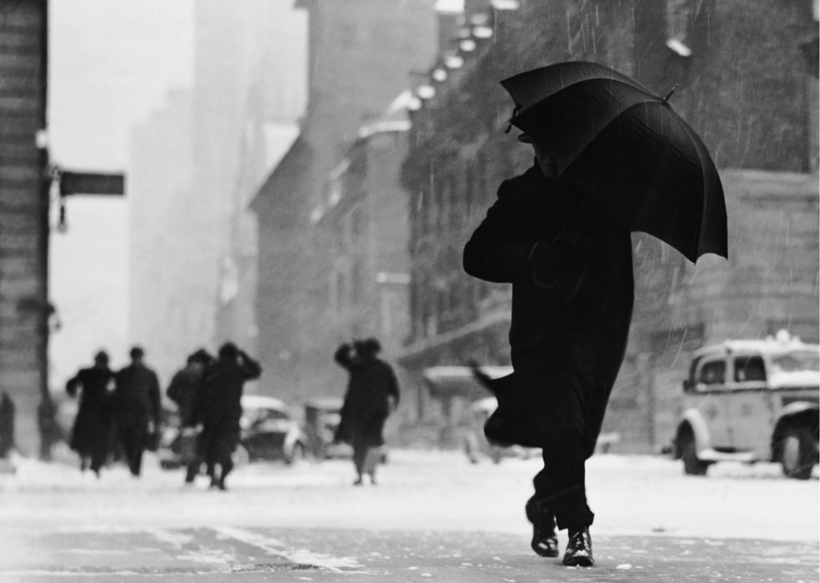
1955: Historical Wyoming blizzard
– Average winter temperature: 31.44°F (#27 coldest year; 0.8°F below 100-year average)
– Maximum winter temperature: 42.04°F (#26 coldest year; 0.7°F below 100-year average)
– Minimum winter temperature: 20.82°F (#21 coldest year; 0.9°F below 100-year average)
– Average precipitation: 5.91 in. (#17 driest year; 0.9 inches below 100-year average)
– Record 1-day snowfall: Mason County, Washington on Nov. 26 (70.0 in.)
Wyoming was hit with its worst blizzard in history in April 1955, when 4 feet of snow dumped down on the Cowboy State in fewer than 48 hours. “It just goes to show, no matter how bad you think the snow is in Wyoming, it could always be worse,” Lisa Jensen wrote for Only In Your State.
Glenn // Wikimedia Commons
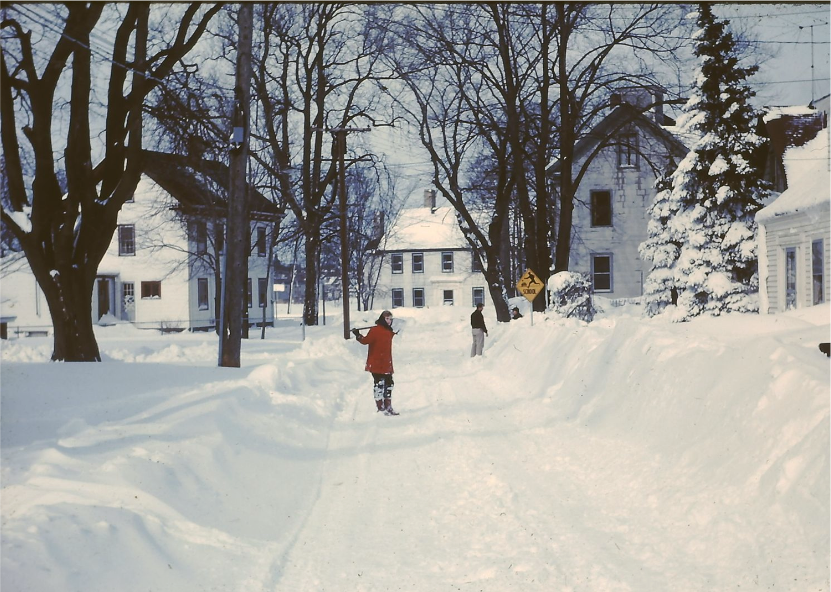
1956: New England storms
– Average winter temperature: 31.66°F (#30 coldest year; 0.6°F below 100-year average)
– Maximum winter temperature: 42.08°F (#28 coldest year; 0.6°F below 100-year average)
– Minimum winter temperature: 21.24°F (#29 coldest year; 0.5°F below 100-year average)
– Average precipitation: 7.13 in. (#34 wettest year; 0.3 inches above 100-year average)
– Record 1-day snowfall: Pierce County, Alaska on Feb. 8 (43.0 in.)
The winter of 1956 was a significant season for snowfall in New England, which saw three major storms in a 10-day period in March. The blizzards brought snow cover at the Blue Hill Weather Observatory outside Boston to a level of nearly 50 inches. Meanwhile, Pierce County, Washington, set the year’s one-day snowfall record with 70 inches.
George Marks // Getty Images
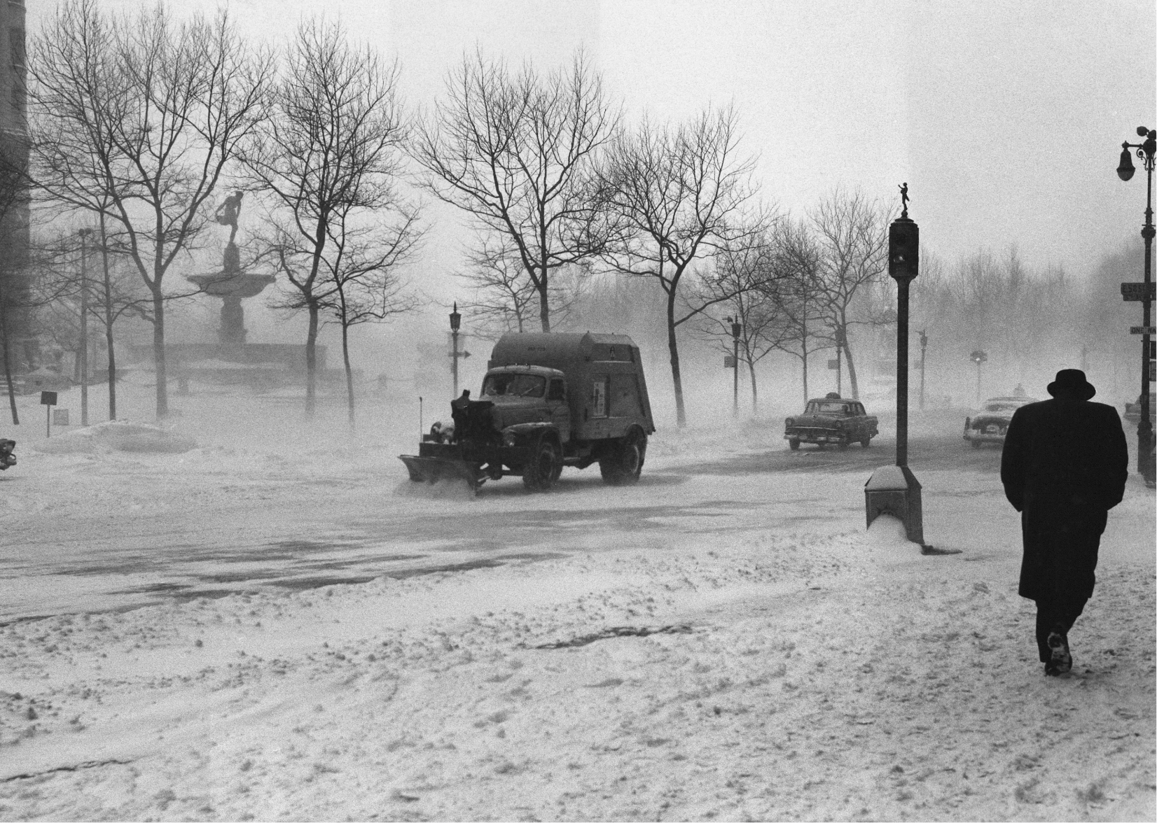
1957: Cyclone-level storms in Kansas
– Average winter temperature: 33.79°F (#28 hottest year; 1.6°F above 100-year average)
– Maximum winter temperature: 44.32°F (#27 hottest year; 1.6°F above 100-year average)
– Minimum winter temperature: 23.25°F (#32 hottest year; 1.5°F above 100-year average)
– Average precipitation: 6.21 in. (#31 driest year; 0.6 inches below 100-year average)
– Record 1-day snowfall: El Paso County, Colorado on Apr. 2 (54.0 in.)
From March 23-25, 1957, western Kansas was hit with cyclone-level winds mixed with exceptionally low temperatures over the Great Plains. In Dodge City, there was a 44-hour stretch with nonstop heavy snow and less than a quarter-mile of visibility, according to the NOAA.
You may also like: Best lake towns to live in
Pixabay
1958: New England nor’easter
– Average winter temperature: 33.53°F (#34 hottest year; 1.3°F above 100-year average)
– Maximum winter temperature: 43.89°F (#34 hottest year; 1.2°F above 100-year average)
– Minimum winter temperature: 23.18°F (#34 hottest year; 1.4°F above 100-year average)
– Average precipitation: 7.12 in. (#35 wettest year; 0.3 inches above 100-year average)
– Record 1-day snowfall: Placer County, California on Apr. 3 (49.0 in.)
The winter of 1958 was another year with relatively mild conditions that saw below-average temperatures. In March, a huge storm swept through New England and the Mid-Atlantic, dropping large amounts of snow from Maine to North Carolina.
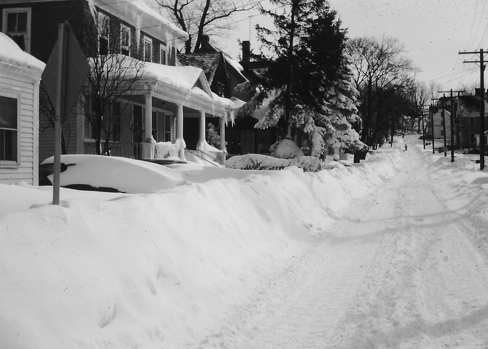
Glenn // Wikimedia Commons
1959: Mount Shasta Snowstorm
– Average winter temperature: 31.4°F (#26 coldest year; 0.8°F below 100-year average)
– Maximum winter temperature: 42.34°F (#34 coldest year; 0.4°F below 100-year average)
– Minimum winter temperature: 20.46°F (#17 coldest year; 1.3°F below 100-year average)
– Average precipitation: 5.86 in. (#16 driest year; 0.9 inches below 100-year average)
– Record 1-day snowfall: Douglas County, Alaska on Dec. 23 (44.0 in.)
In 1959, Northern California received record-setting snowfall in February during what became one of the biggest blizzards in U.S. history. In a single storm, Mount Shasta Ski Bowl accumulated 189 inches of snow—almost 16 feet. The staggering number remains the largest snowfall from a single storm in North America’s recorded history, although some argue that 1993’s “Storm of the Century” surpassed it in volume factoring in the expansive area it covered.
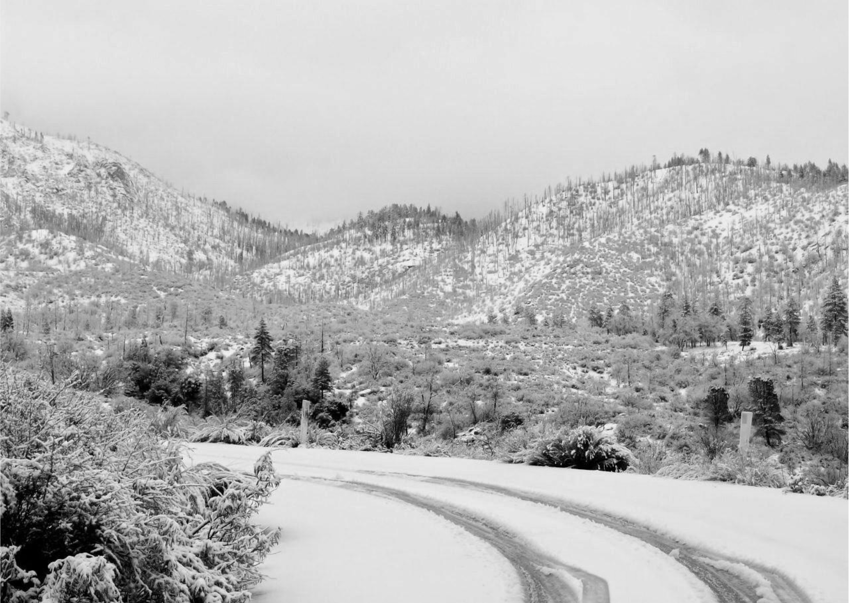
Zink Dawg // Wikimedia Commons
1960: Three major storms
– Average winter temperature: 31.97°F (#35 coldest year; 0.3°F below 100-year average)
– Maximum winter temperature: 41.71°F (#21 coldest year; 1.0°F below 100-year average)
– Minimum winter temperature: 22.25°F (#48 hottest year; 0.5°F above 100-year average)
– Average precipitation: 7.07 in. (#37 wettest year; 0.3 inches above 100-year average)
– Record 1-day snowfall: Anchorage Municipality, Utah on Oct. 10 (36.0 in.)
The winter of 1960 was a brutal season that included three major storms, beginning in December when an enormous nor’easter pounded the Mid-Atlantic and parts of New England. Next, North Carolina and its surrounding areas received a series of five back-to-back blizzards that battered the region between Feb. 13 and March 26. They created “snowdrifts that threatened to swallow houses,” according to Monte Mitchell at the Winston-Salem Journal, and resulted in the snowiest period on record for the Southern Appalachian region. Meanwhile, as Appalachia was dealing with its record snowfall, New England was hit with another nor’easter in March that ranked Category 4 on the hurricane scale.
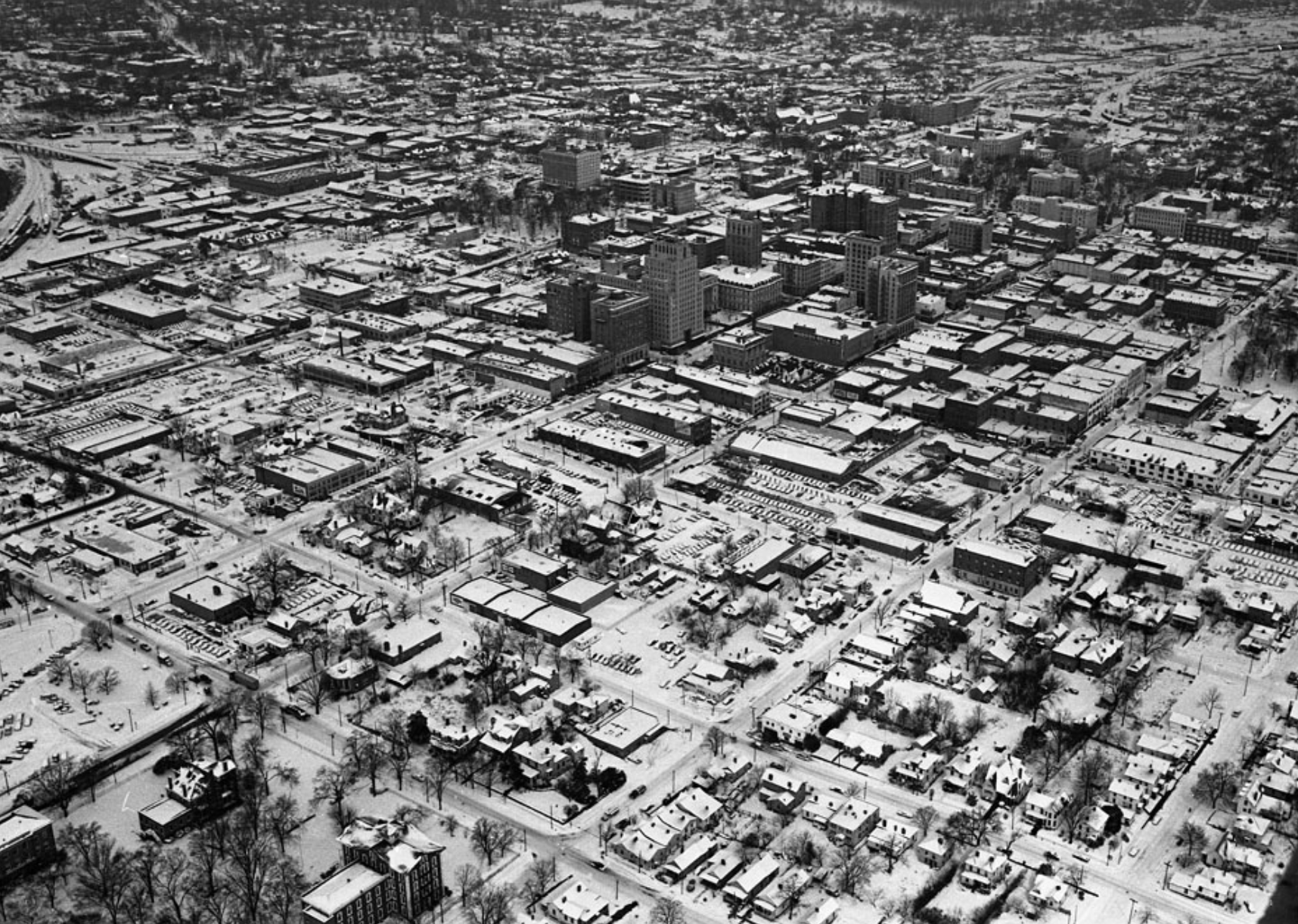
State Archives of North Carolina Raleigh, NC // Flickr
1961: New York receives 40 inches of snow
– Average winter temperature: 32.51°F (#45 coldest year; 0.3°F above 100-year average)
– Maximum winter temperature: 43.48°F (#49 hottest year; 0.8°F above 100-year average)
– Minimum winter temperature: 21.53°F (#39 coldest year; 0.2°F below 100-year average)
– Average precipitation: 6.16 in. (#28 driest year; 0.6 inches below 100-year average)
– Record 1-day snowfall: Iron County, Colorado on Oct. 29 (38.0 in.)
In 1961, temperatures were cold throughout the country and Utah received record one-day snowfall with an early-season October storm that dumped 3 feet. However, it was New York that really got pummeled when a February storm dropped 40 inches of snow in some parts of the state, as well as significant amounts in other parts of New England.
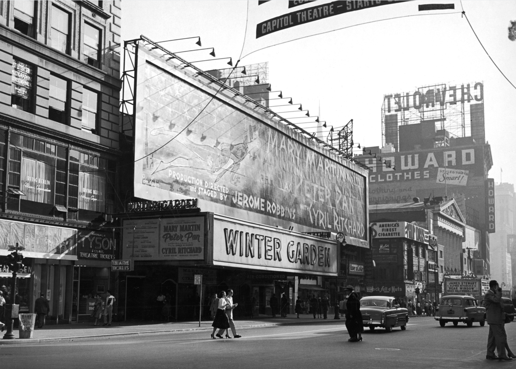
Harry Morrison // Getty Images
1962: Ash Wednesday Storm
– Average winter temperature: 30.99°F (#17 coldest year; 1.2°F below 100-year average)
– Maximum winter temperature: 41.4°F (#16 coldest year; 1.3°F below 100-year average)
– Minimum winter temperature: 20.59°F (#18 coldest year; 1.2°F below 100-year average)
– Average precipitation: 7.45 in. (#24 wettest year; 0.7 inches above 100-year average)
– Record 1-day snowfall: Chaffee County, Maine on Dec. 30 (40.0 in.)
In 1962, as many folks along the Mid-Atlantic coast were preparing to attend church masses for Ash Wednesday, a Category 5 storm was brewing offshore. Between March 5-9, an extreme storm came ashore, lashing the region with 85-mile-per-hour wind gusts in some places, along with heavy snow and ice-cold temperatures. When all was said and done, 40 people were dead, more than 1,000 were injured, and hundreds of millions of dollars in damage had been done. To date, this weather event still ranks as one of the top 10 worst storms of the 20th century.
You may also like: Most common jobs in America
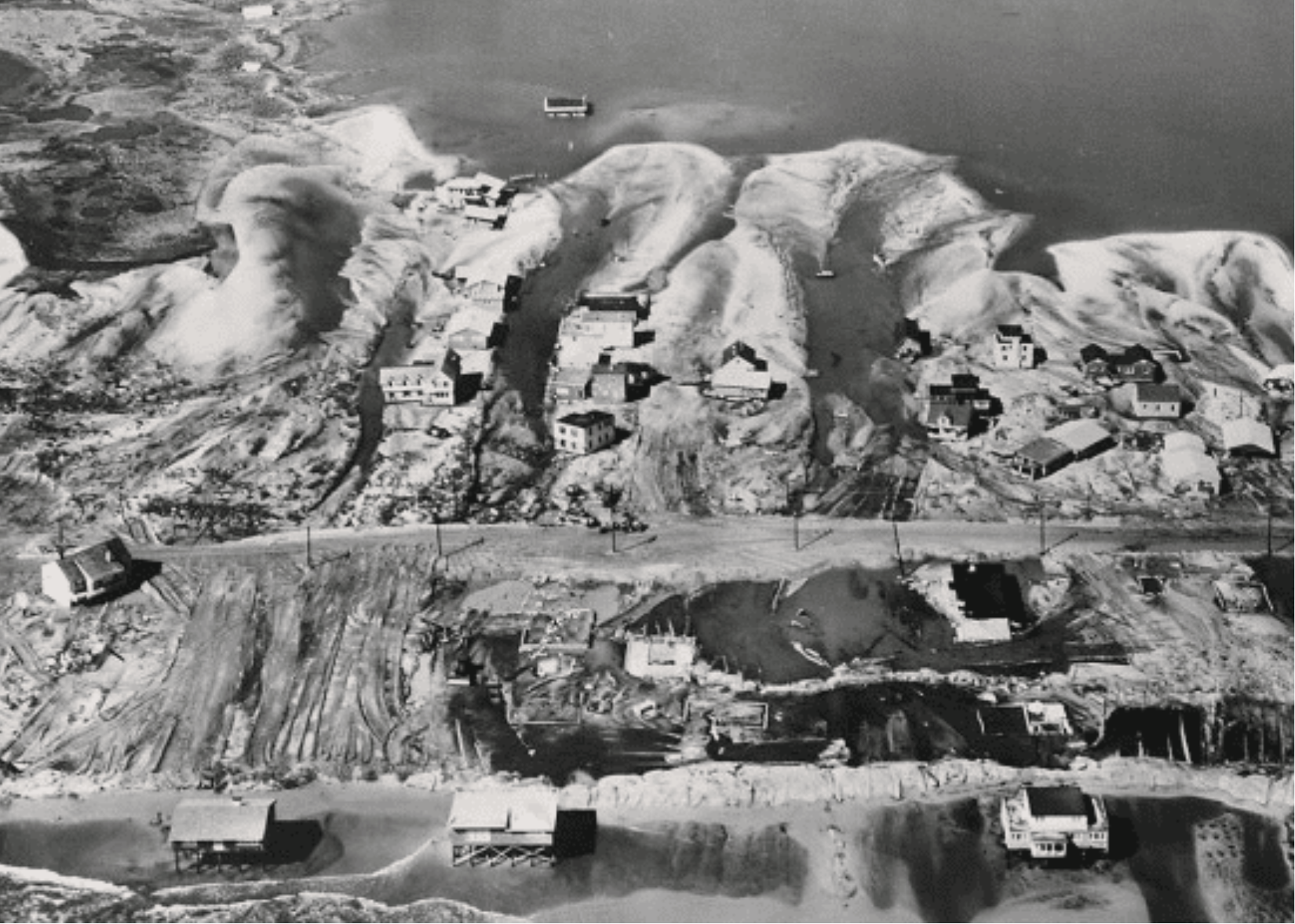
Army Corps of Engineers // Wikimedia Commons
1963: Big Freeze of 1963
– Average winter temperature: 30.65°F (#12 coldest year; 1.6°F below 100-year average)
– Maximum winter temperature: 42.06°F (#27 coldest year; 0.6°F below 100-year average)
– Minimum winter temperature: 19.25°F (#5 coldest year; 2.5°F below 100-year average)
– Average precipitation: 4.88 in. (#4 driest year; 1.9 inches below 100-year average)
– Record 1-day snowfall: Penobscot County, Utah on Mar. 18 (20.0 in.)
The winter of 1963 was a frigid one in the United States. In terms of average precipitation, it was the fourth-coldest winter in the past century and for the lowest minimum temperature, it was the fifth-coldest. Britain also suffered a cold spell, experiencing one of the coldest winters in the history of the country: the “Big Freeze of 1963.” Lakes and rivers froze over as snowdrifts piled up to 20 feet. January temperatures averaged two degrees below zero.
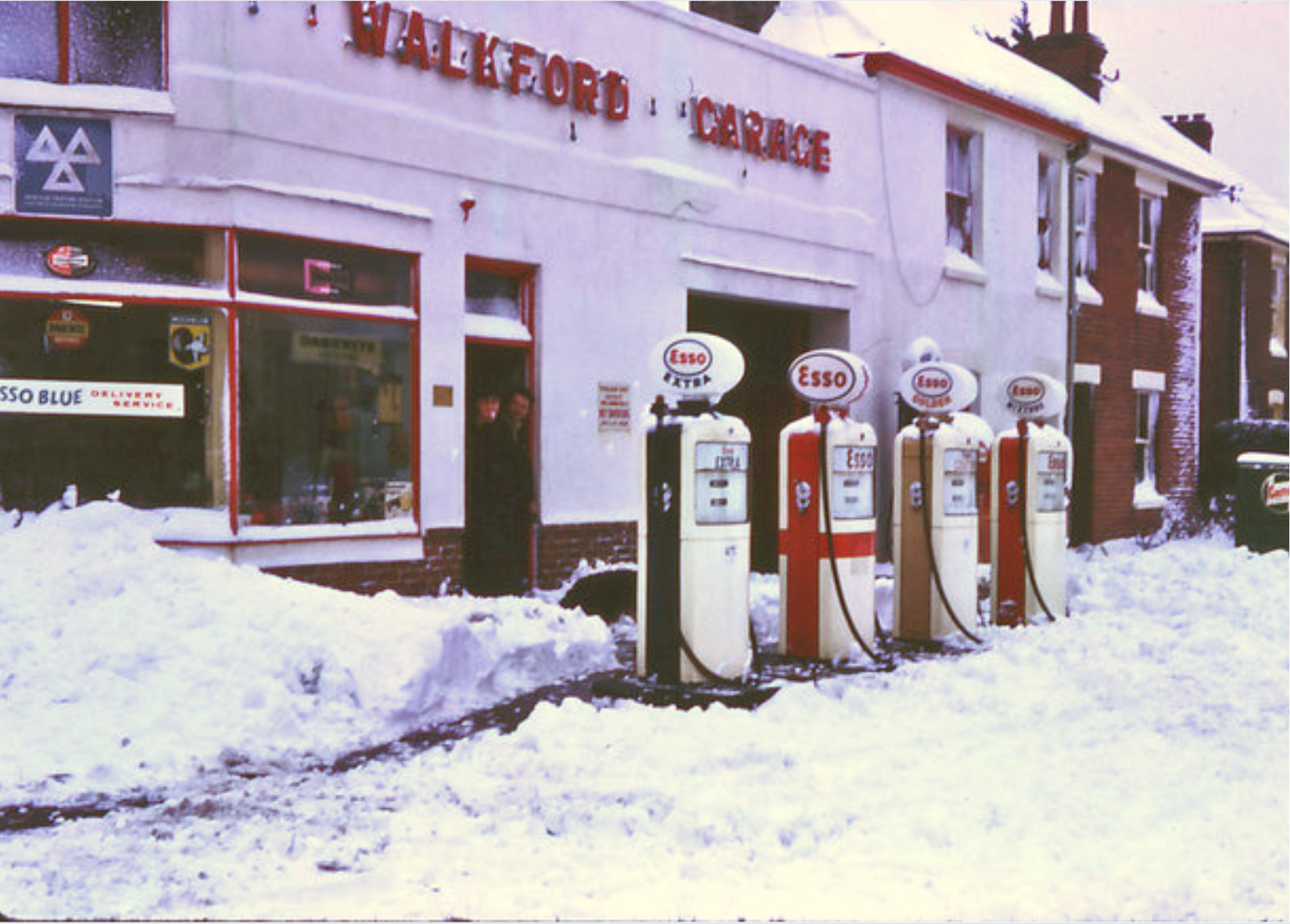
Clive Perrin // Geograph
1964: New Year’s Eve snowstorm
– Average winter temperature: 30.4°F (#8 coldest year; 1.8°F below 100-year average)
– Maximum winter temperature: 41.53°F (#19 coldest year; 1.2°F below 100-year average)
– Minimum winter temperature: 19.27°F (#6 coldest year; 2.5°F below 100-year average)
– Average precipitation: 5.47 in. (#6 driest year; 1.3 inches below 100-year average)
– Record 1-day snowfall: Juab County, New Mexico on Feb. 3 (41.0 in.)
A low-pressure system moved up from the Gulf of Mexico over the Appalachian Mountains on Dec. 31, pounding Mississippi, Alabama, and Tennessee with snow and wind. Three people died and damage amounted to roughly $418,500 today. Huntsville, Alabama, broke the city’s all-time snowfall record with more than 17 inches.
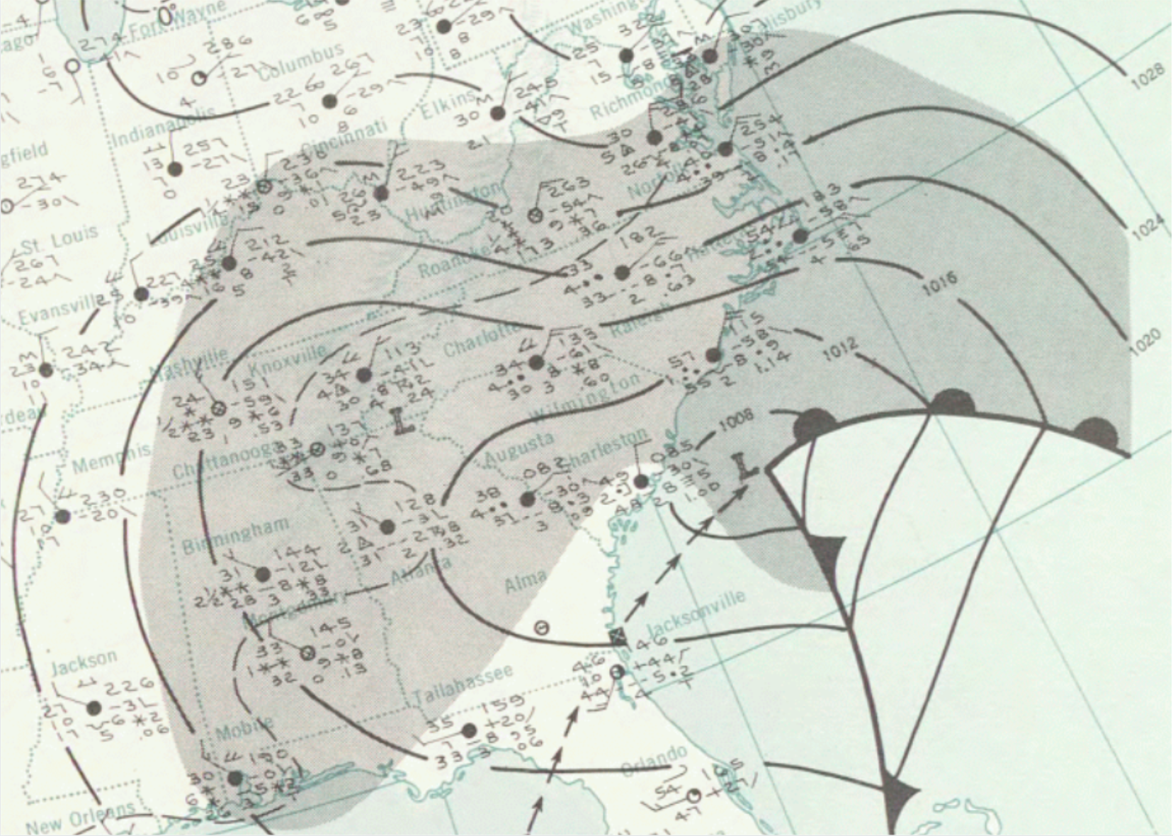
Unknown // Wikimedia Commons
1965: Albany’s worst ice storm on record
– Average winter temperature: 32.12°F (#38 coldest year; 0.1°F below 100-year average)
– Maximum winter temperature: 42.76°F (#40 coldest year; 0.0°F above 100-year average)
– Minimum winter temperature: 21.47°F (#37 coldest year; 0.3°F below 100-year average)
– Average precipitation: 7.83 in. (#14 wettest year; 1.0 inches above 100-year average)
– Record 1-day snowfall: Socorro County, Washington on Jan. 2 (45.0 in.)
The city of Albany, New York, experienced its worst ice storm on record. According to the NOAA, on Dec. 4, freezing rain shut down the entire east-central part of the Empire State. Power was out in the city and surrounding areas for two weeks, with many residents fleeing to Massachusetts for temporary shelter. Other parts of the region were impacted as well, as the ice spread from Buffalo to Boston.

Evening Standard // Getty Images
1966: North American blizzard of 1966
– Average winter temperature: 31.16°F (#21 coldest year; 1.1°F below 100-year average)
– Maximum winter temperature: 41.33°F (#14 coldest year; 1.4°F below 100-year average)
– Minimum winter temperature: 20.98°F (#25 coldest year; 0.8°F below 100-year average)
– Average precipitation: 6.86 in. (#45 wettest year; 0.1 inches above 100-year average)
– Record 1-day snowfall: King County, New York on Feb. 1 (50.0 in.)
The North American blizzard of 1966, which blew across the United States from Jan. 26-31, was one of the most notable storms in U.S. history. The nor’easter affected large swaths of the country, wreaking particular havoc on New York City and surrounding areas where winds reached up to 100 miles per hour. At least 200 people perished in the storm, many of whom froze to death or died in fires started by residents trying to warm their homes. Another deadly storm hit North Dakota that March, causing 70-mile-per-hour winds and killing 18 people.
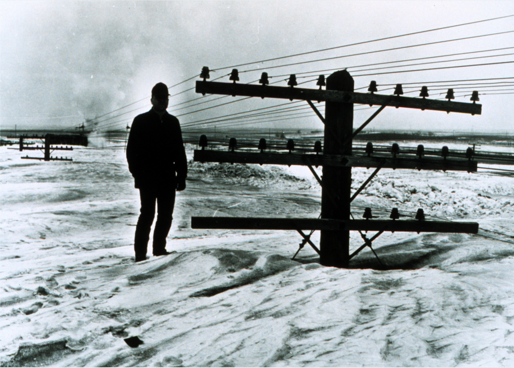
Mr. Bill Koch // Wikimedia Commons
1967: Chicago Blizzard
– Average winter temperature: 32.89°F (#52 hottest year; 0.7°F above 100-year average)
– Maximum winter temperature: 43.82°F (#37 hottest year; 1.1°F above 100-year average)
– Minimum winter temperature: 21.95°F (#47 coldest year; 0.2°F above 100-year average)
– Average precipitation: 6.11 in. (#24 driest year; 0.7 inches below 100-year average)
– Record 1-day snowfall: Oneida County, Arizona on Dec. 14 (38.0 in.)
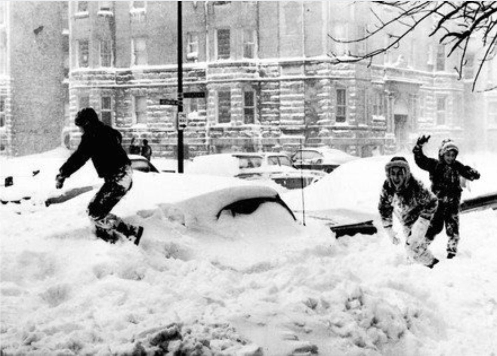
Chicago was the site of a historic blizzard in the winter of 1967 when the Windy City lived up to its nickname as 50-mile-per-hour gusts blew through the city. The storm—which brought the largest snowfall to date in Chicago’s history—killed 26 people, including a 10-year-old girl who was caught in the crossfire of police and looters, and a minister who was run over by a snowplow.
You may also like: The cost of a beer the year you turned 21
58follow // Wikimedia Commons
1968: Tennessee snow storm
– Average winter temperature: 31.31°F (#25 coldest year; 0.9°F below 100-year average)
– Maximum winter temperature: 41.64°F (#20 coldest year; 1.1°F below 100-year average)
– Minimum winter temperature: 20.98°F (#26 coldest year; 0.8°F below 100-year average)
– Average precipitation: 6.71 in. (#49 wettest year; 0.1 inches below 100-year average)
– Record 1-day snowfall: Plumas County, California on Jan. 29 (48.0 in.)
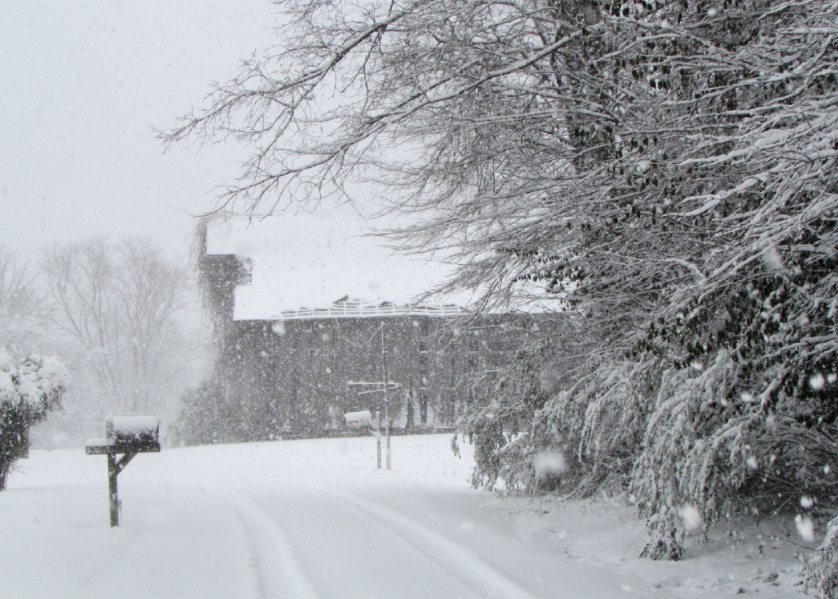
The year 1968 was a moderate year, with below-average temperatures. In late March, Tennessee received a surprise storm that dumped large amounts of snow on Nashville, Memphis, and other major cities—more than 16 inches in 19 hours. The storm caused power outages, traffic injuries, and three deaths.
Lisa Zins // Flickr
1969: Big storms in New England
– Average winter temperature: 30.74°F (#14 coldest year; 1.5°F below 100-year average)
– Maximum winter temperature: 40.51°F (#7 coldest year; 2.2°F below 100-year average)
– Minimum winter temperature: 20.95°F (#24 coldest year; 0.8°F below 100-year average)
– Average precipitation: 8.06 in. (#11 wettest year; 1.3 inches above 100-year average)
– Record 1-day snowfall: Fresno County, New Hampshire on Feb. 25 (49.3 in.)
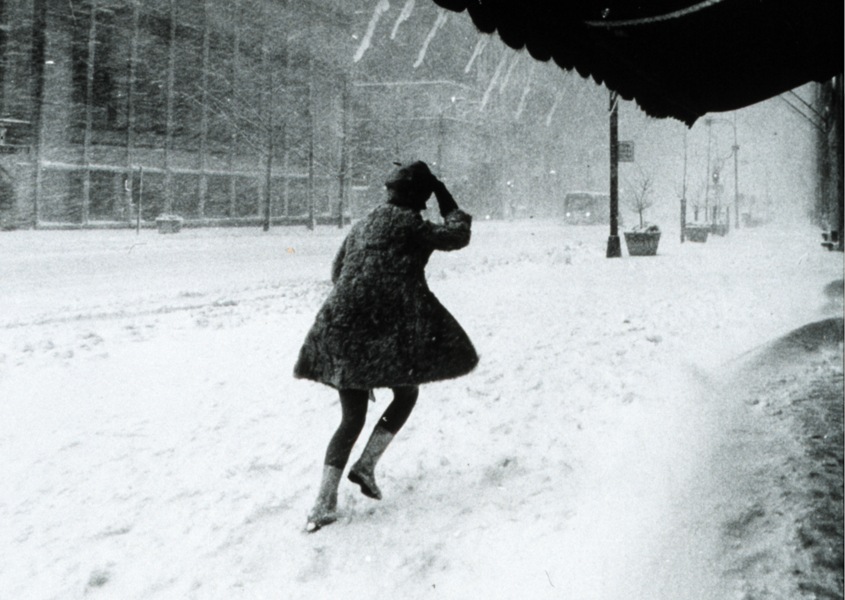
Two major storms struck the U.S. in the winter of 1969, beginning in February when a strong nor’easter developed over the Mid-Atlantic and New England, burying New York City and surrounding areas in snow. That storm killed 94 people and left thousands more stranded on highways or at airports. In March, another blizzard—this one with 80-mile-per-hour winds—blew into the Gulf of Mexico, up through Georgia, and into New England where it dumped snow on Maryland, Delaware, and Massachusetts.
Unknown // Wikimedia Commons
1970: Christmas Day tornadoes
– Average winter temperature: 31.98°F (#36 coldest year; 0.2°F below 100-year average)
– Maximum winter temperature: 42.58°F (#38 coldest year; 0.1°F below 100-year average)
– Minimum winter temperature: 21.39°F (#33 coldest year; 0.3°F below 100-year average)
– Average precipitation: 6.66 in. (#49 driest year; 0.1 inches below 100-year average)
– Record 1-day snowfall: Coos County, Idaho on Jan. 19 (40.0 in.)
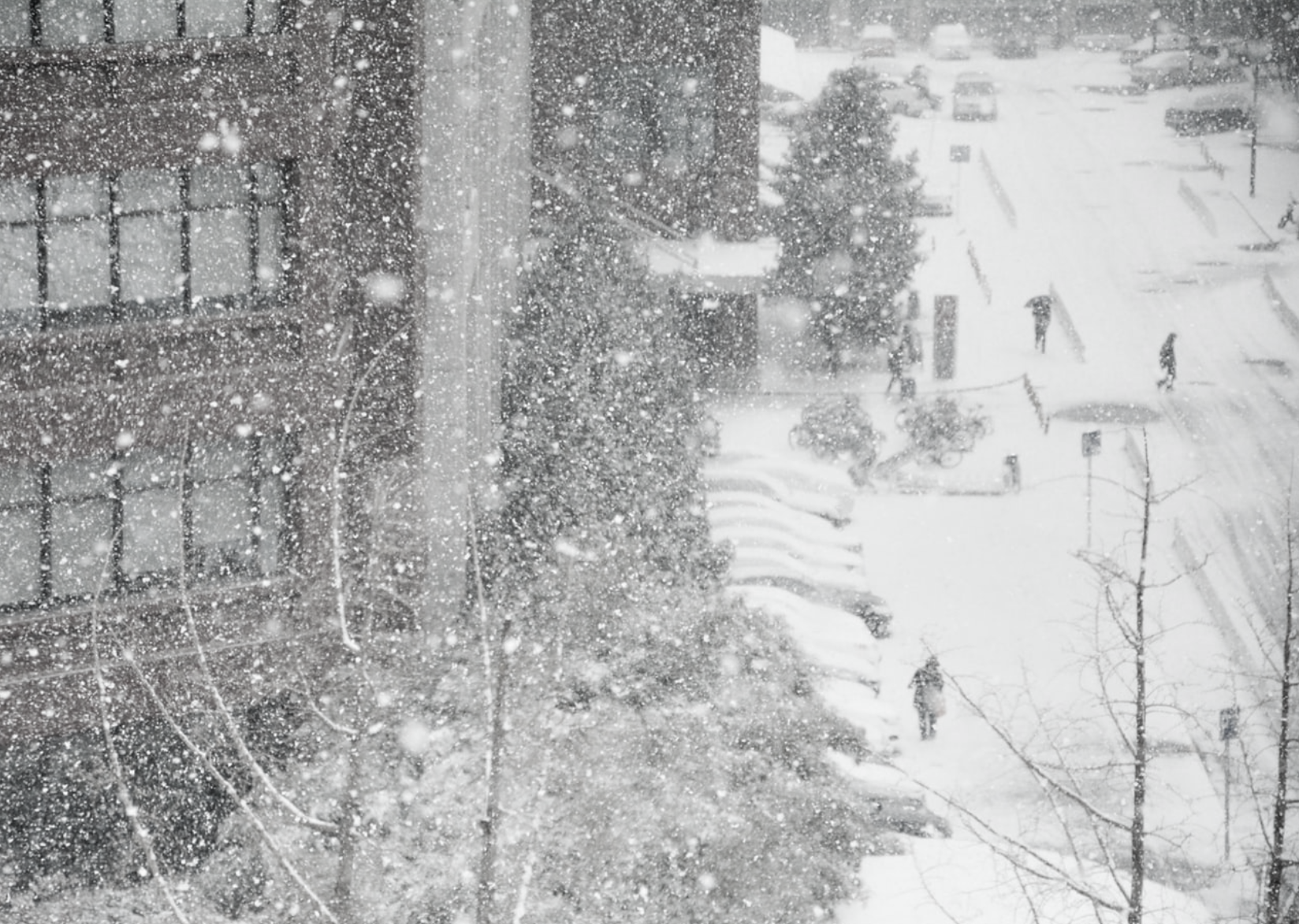
On Christmas Day 1969, a powerful nor’easter that began over Texas made its way to the northeastern U.S., morphing into a series of full-blown tornadoes as it moved and bringing large amounts of snow and freezing rain with it. Homes were destroyed, and dozens of people were killed. In total, 16 tornadoes broke out over three days, making it the largest Christmas Day tornado outbreak on record.
Unsplash
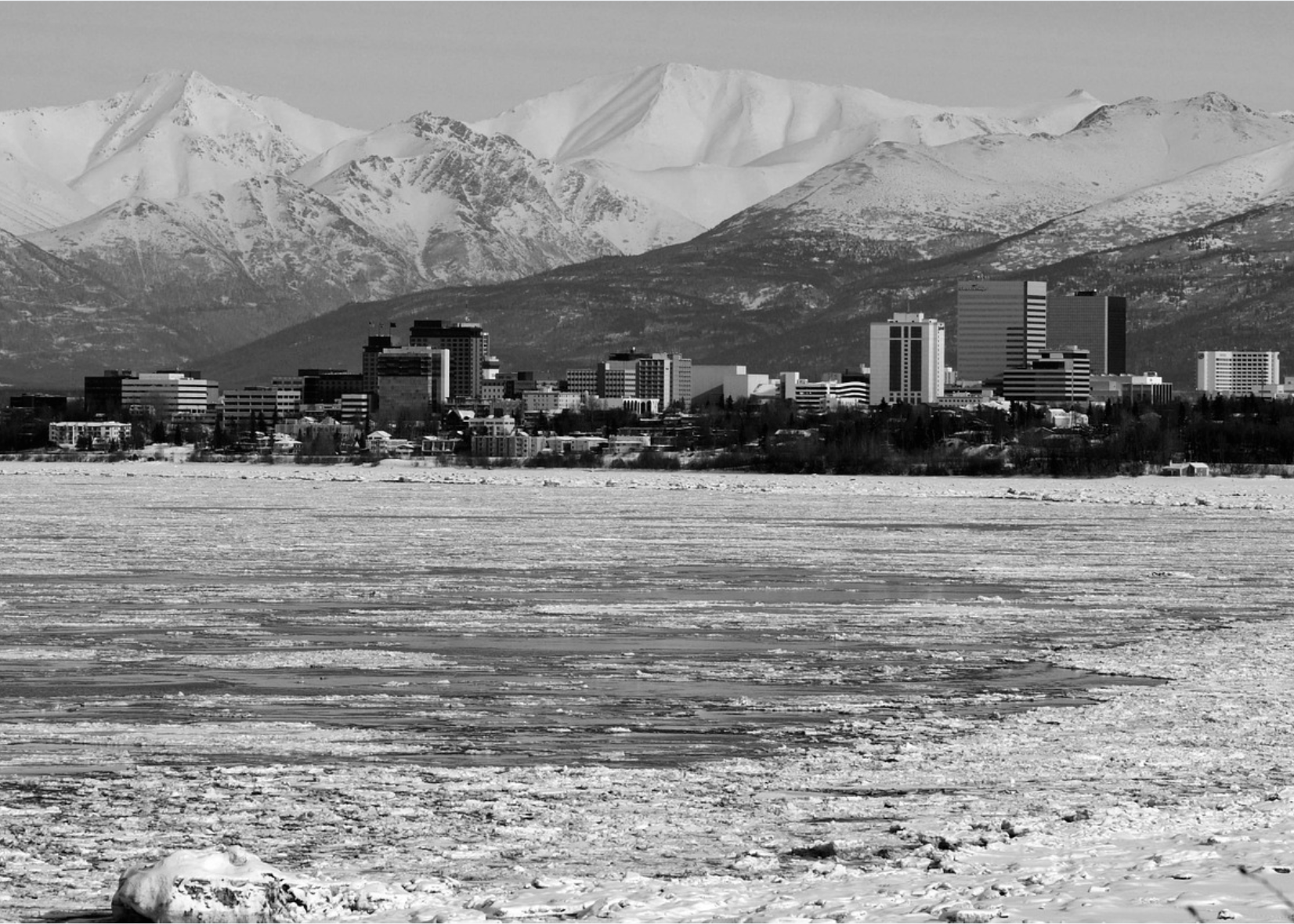
1971: Alaska sets US record for coldest temperature ever recorded
– Average winter temperature: 32.16°F (#40 coldest year; 0.1°F below 100-year average)
– Maximum winter temperature: 42.9°F (#41 coldest year; 0.2°F above 100-year average)
– Minimum winter temperature: 21.42°F (#34 coldest year; 0.3°F below 100-year average)
– Average precipitation: 6.62 in. (#47 driest year; 0.2 inches below 100-year average)
– Record 1-day snowfall: Boise County, Montana on Dec. 18 (35.0 in.)
On Jan. 23, 1971, a cold snap in the north resulted in the coldest-ever recorded temperature in the United States. Perhaps unsurprisingly, the record was set in ice-cold Alaska where a thermometer gauge clocked a reading of 80 degrees below zero in Prospect Creek, just north of Fairbanks.
Pixabay
1972: Mild US winter but the deadliest ever in the Middle East
– Average winter temperature: 32.49°F (#44 coldest year; 0.3°F above 100-year average)
– Maximum winter temperature: 43.14°F (#45 coldest year; 0.4°F above 100-year average)
– Minimum winter temperature: 21.83°F (#45 coldest year; 0.1°F above 100-year average)
– Average precipitation: 7.33 in. (#25 wettest year; 0.5 inches above 100-year average)
– Record 1-day snowfall: Glacier County, Montana on Jan. 20 (44.0 in.)
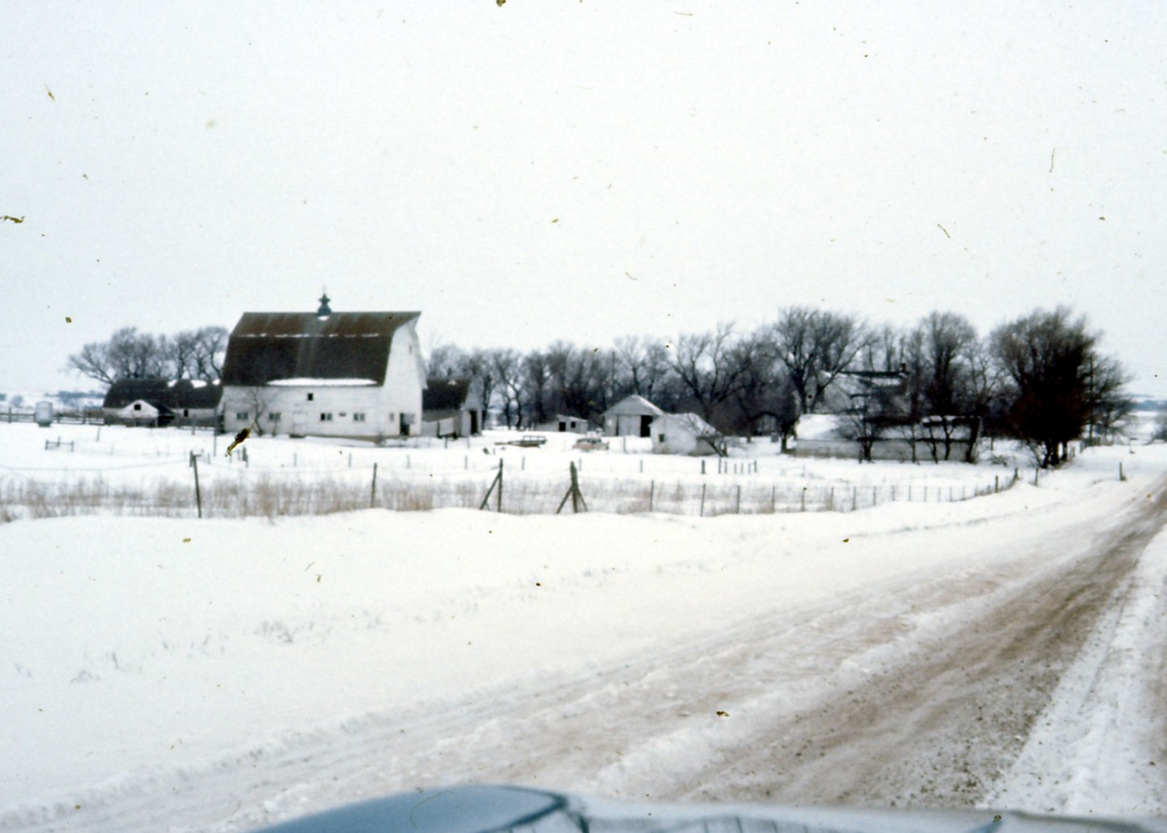
The winter of 1972 was an average year in the U.S. that featured fairly typical temperatures. One big storm in Minnesota brought in 60-mile-per-hour winds, stranding commuters and causing one train derailment (though no deaths were directly attributed to it). However, it’s worth noting that this was the year in which the deadliest blizzard in history occurred. It took place in Iran and caused approximately 4,000 fatalities.
You may also like: Famous consumer brands that no longer exist
Don Graham // Flickr
1973: The Great Southeastern Snowstorm
– Average winter temperature: 31.01°F (#18 coldest year; 1.2°F below 100-year average)
– Maximum winter temperature: 40.93°F (#13 coldest year; 1.8°F below 100-year average)
– Minimum winter temperature: 21.1°F (#28 coldest year; 0.6°F below 100-year average)
– Average precipitation: 7.46 in. (#23 wettest year; 0.7 inches above 100-year average)
– Record 1-day snowfall: Flathead County, South Dakota on Mar. 14 (52.0 in.)
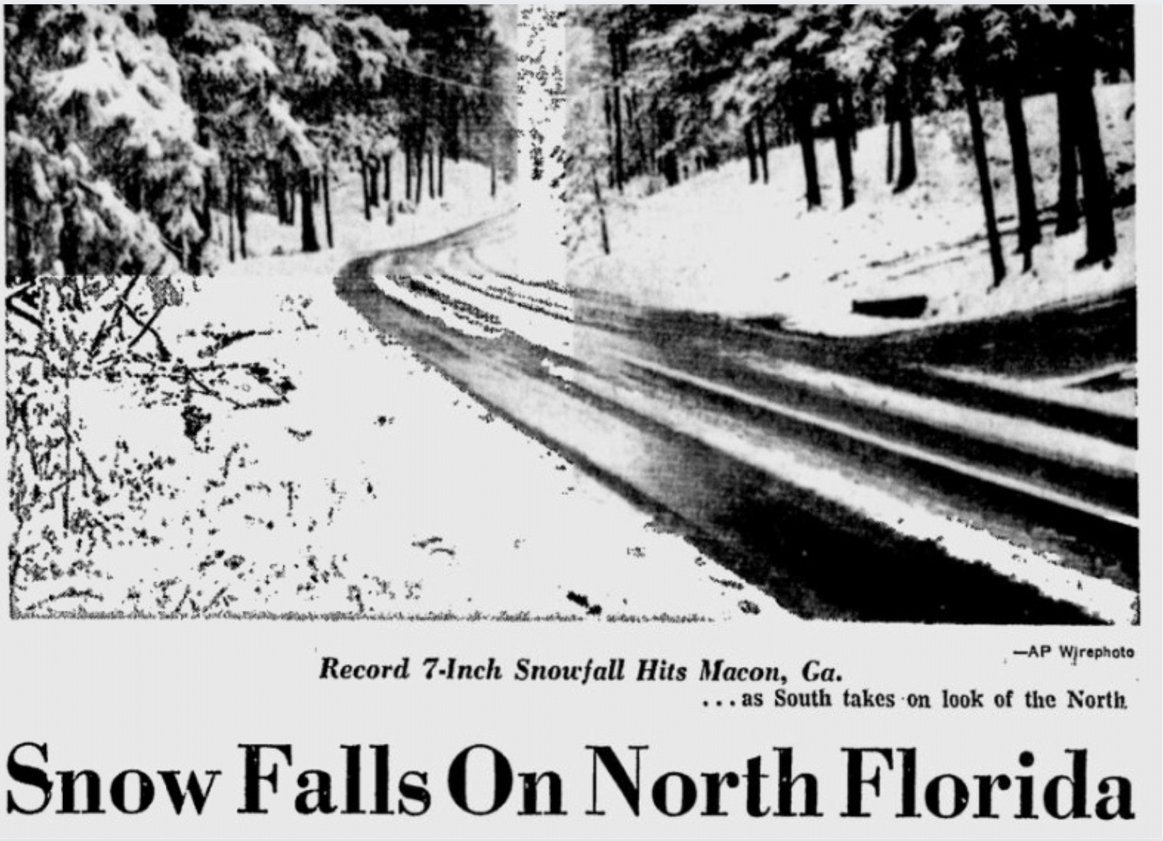
While the southern U.S. states rarely see significant snowfall, 1973 was an exceptional year. In early February, a major storm front brought huge blizzards, showering the entire southeastern portion of the country in up to 2 feet of snow. The event set records at the time in both Wilmington, North Carolina, and Charleston, South Carolina, and states along the coast from Texas to Florida also felt flurries.
National Weather Service
1974: Super Tornado Outbreak
– Average winter temperature: 33.15°F (#43 hottest year; 0.9°F above 100-year average)
– Maximum winter temperature: 43.74°F (#42 hottest year; 1.0°F above 100-year average)
– Minimum winter temperature: 22.55°F (#42 hottest year; 0.8°F above 100-year average)
– Average precipitation: 7.92 in. (#13 wettest year; 1.1 inches above 100-year average)
– Record 1-day snowfall: Lawrence County, Montana on May. 21 (24.0 in.)
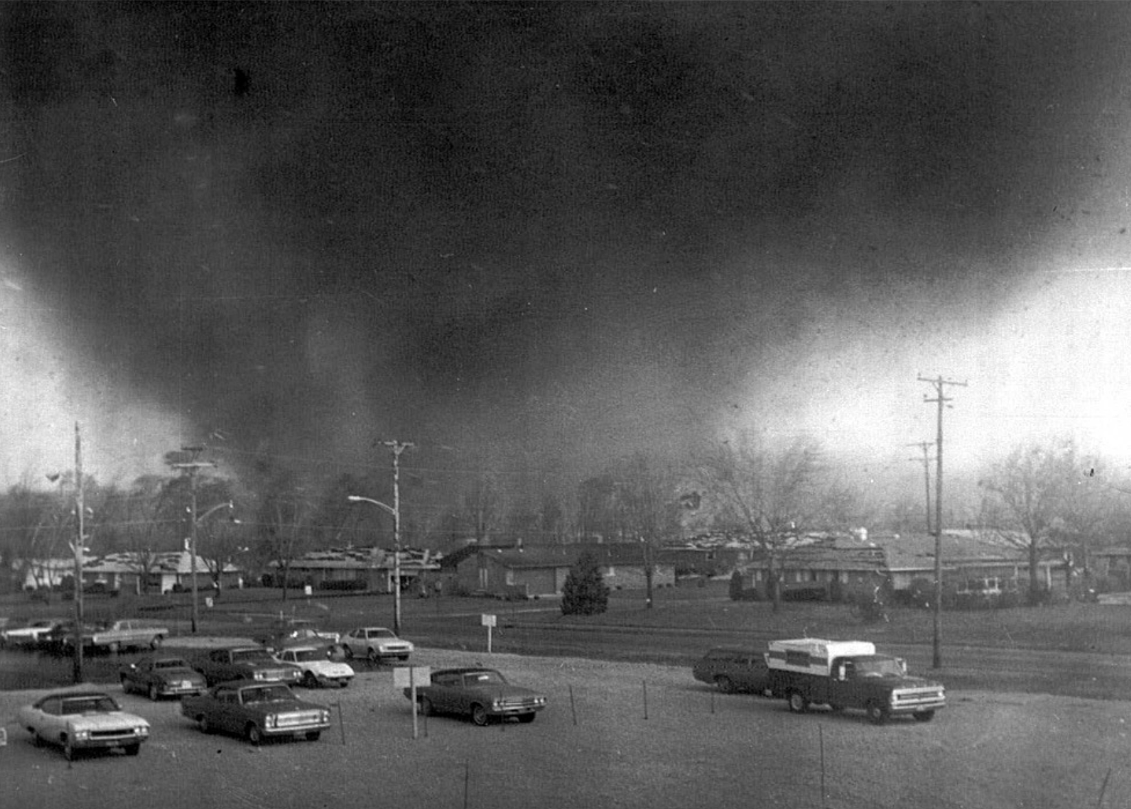
In 1974, the winter months were fairly warm, with temperatures slightly above average. However, just weeks after winter ended and spring began, an outbreak of tornadoes made up for the moderate winter as the weather wreaked havoc on a huge portion of the country, beginning in the Great Lakes region and spreading south. In total, 148 tornadoes were recorded across 13 states, one of which remains on the top 10 list of costliest tornado outbreaks in U.S. history.
National Weather Service
1975: Great Storm of 1975
– Average winter temperature: 32.92°F (#50 hottest year; 0.7°F above 100-year average)
– Maximum winter temperature: 43.08°F (#44 coldest year; 0.4°F above 100-year average)
– Minimum winter temperature: 22.76°F (#41 hottest year; 1.0°F above 100-year average)
– Average precipitation: 7.64 in. (#20 wettest year; 0.9 inches above 100-year average)
– Record 1-day snowfall: Blaine County, Arizona on Nov. 30 (40.0 in.)
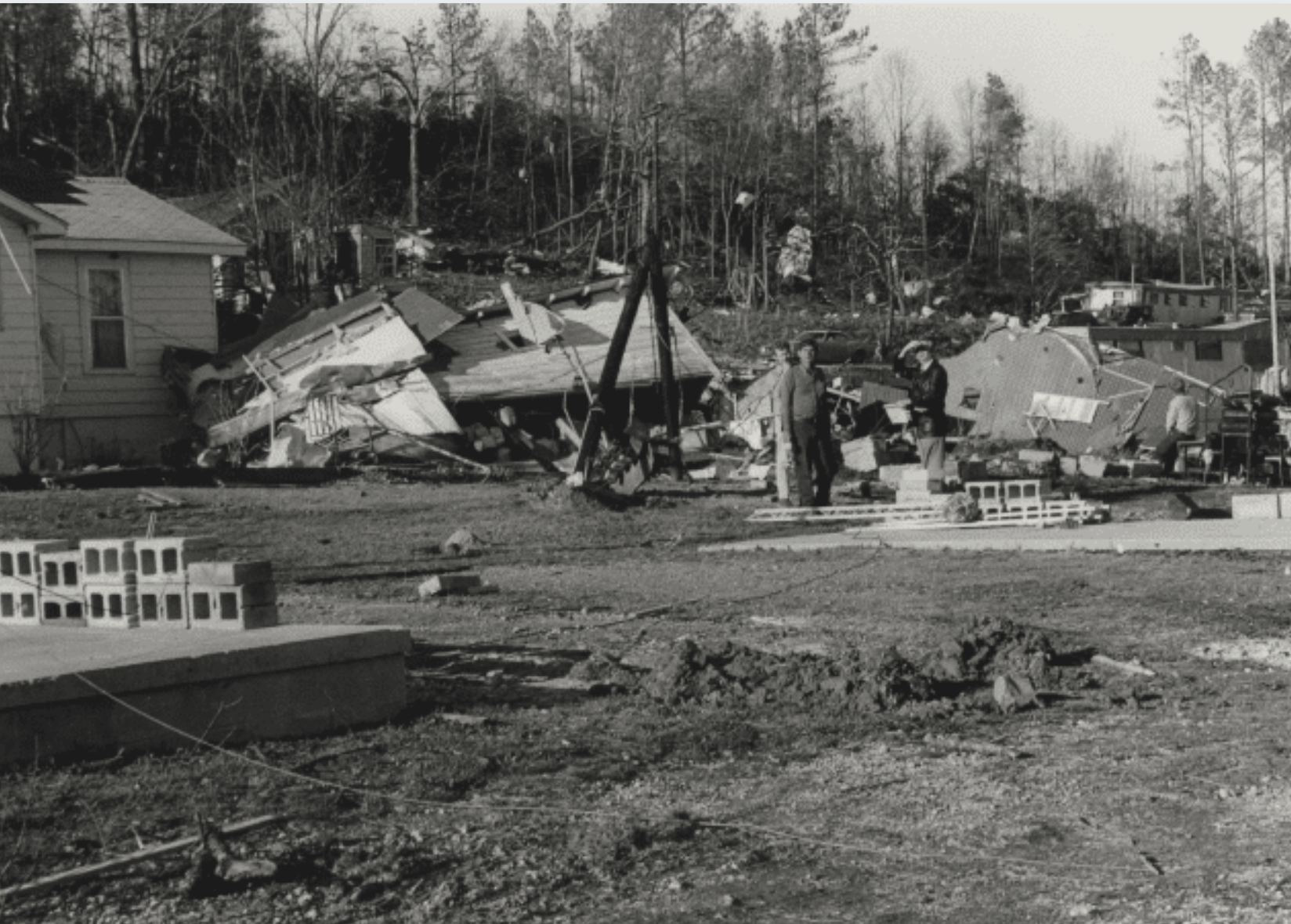
The Great Storm of 1975 was a catastrophic blizzard that struck large areas of the central and southeastern United States on Super Bowl Sunday. Fifty-eight people died in the Midwest, and 12 more were killed in the Southeast as a cluster of 45 tornadoes raged through the region. During the three days, wind chills were recorded as low as 80 degrees below zero.
U.S. Government // Wikimedia Commons
1976: Groundhog Day gale of 1976
– Average winter temperature: 34.59°F (#20 hottest year; 2.4°F above 100-year average)
– Maximum winter temperature: 45.88°F (#13 hottest year; 3.2°F above 100-year average)
– Minimum winter temperature: 23.29°F (#31 hottest year; 1.6°F above 100-year average)
– Average precipitation: 5.76 in. (#11 driest year; 1.0 inches below 100-year average)
– Record 1-day snowfall: Apache County, Washington on Feb. 16 (21.0 in.)
On Groundhog Day in 1976, a massive winter storm blew through the northeastern portion of the United States, affecting Massachusetts, Maine, New York, and Vermont. The storm, which was classified as a Category 2 hurricane with winds up to 102 miles per hour, caused the Penobscot River in Maine to rise 12 feet, flooding the town of Bangor and submerging more than 200 cars underwater.
Unsplash
1977: Snowfall in Miami
– Average winter temperature: 30.01°F (#5 coldest year; 2.2°F below 100-year average)
– Maximum winter temperature: 41.78°F (#22 coldest year; 0.9°F below 100-year average)
– Minimum winter temperature: 18.25°F (#4 coldest year; 3.5°F below 100-year average)
– Average precipitation: 4.17 in. (#1 driest year; 2.6 inches below 100-year average)
– Record 1-day snowfall: Aleutians East Borough, Alaska on Feb. 26 (25.3 in.)
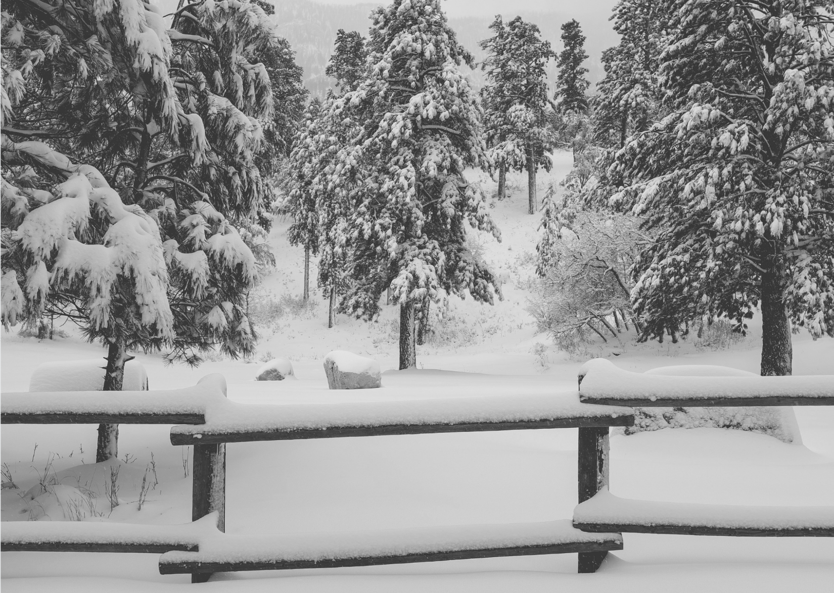
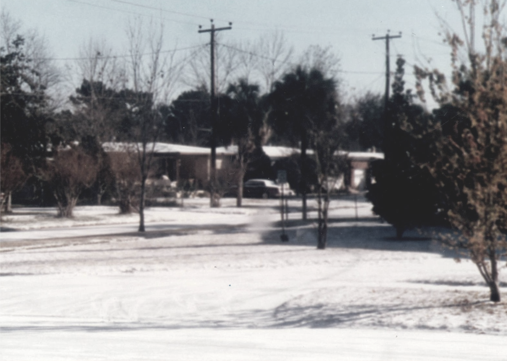
The winter of 1977 kicked off with an intense cold snap in the southeastern part of the U.S. that originated from a high-pressure system over the Mississippi River Valley. The frigid weather pattern caused cold air to hover as far south as Florida, prompting the only trace of snow in recorded history to ever fall in Miami. The cold air in the south was also a contributing factor to the blizzard that pounded western New York at the end of the month with extreme winds and heavy snowfall for five days.
You may also like: Best commute in every state
Jorfer // Wikimedia Commons
1978: New England Blizzard of 1978
– Average winter temperature: 29.04°F (#4 coldest year; 3.2°F below 100-year average)
– Maximum winter temperature: 38.64°F (#3 coldest year; 4.1°F below 100-year average)
– Minimum winter temperature: 19.44°F (#7 coldest year; 2.3°F below 100-year average)
– Average precipitation: 7.67 in. (#18 wettest year; 0.9 inches above 100-year average)
– Record 1-day snowfall: Rio Blanco County, New Mexico on May. 2 (36.0 in.)
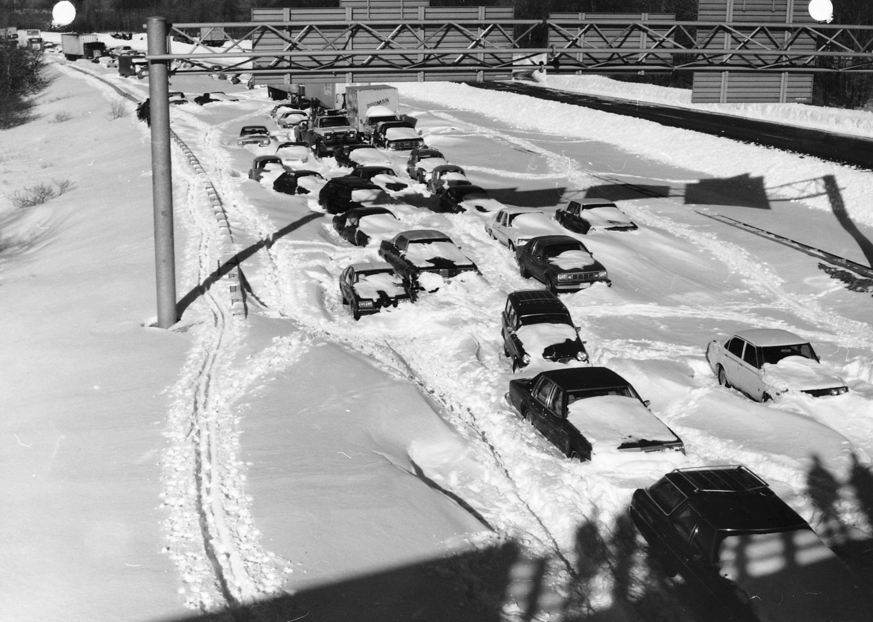
The New England Blizzard of 1978 impacted Massachusetts, New York, and Rhode Island. However, it was Boston that reeled most from the massive blizzard, accumulating more than 27 inches of snow in less than 48 hours. The snowfall set an all-time record for the metropolitan area.
Jim McDevitt // Wikimedia Commons
1979: Hawaii sets a record for coldest day
– Average winter temperature: 26.61°F (#1 coldest year; 5.6°F below 100-year average)
– Maximum winter temperature: 36.73°F (#1 coldest year; 6.0°F below 100-year average)
– Minimum winter temperature: 16.51°F (#1 coldest year; 5.2°F below 100-year average)
– Average precipitation: 8.44 in. (#7 wettest year; 1.7 inches above 100-year average)
– Record 1-day snowfall: Mora County, California on Dec. 24 (48.0 in.)
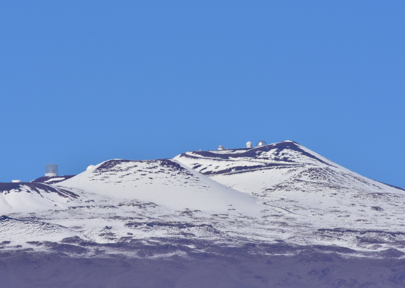
The Aloha State, which has never recorded a sub-zero temperature, isn’t known for cold weather. However, its volcanic regions do get frigid at times and in 1979, the state set an all-time record for coldest temperature when it hit 12 degrees at the Mauna Kea Observatory. The viewing point sits at an elevation of 13,796 feet.
pedrik // Flickr
1980: Massive North Carolina storm
– Average winter temperature: 33.33°F (#39 hottest year; 1.1°F above 100-year average)
– Maximum winter temperature: 43.6°F (#48 hottest year; 0.9°F above 100-year average)
– Minimum winter temperature: 23.06°F (#38 hottest year; 1.3°F above 100-year average)
– Average precipitation: 6.43 in. (#38 driest year; 0.4 inches below 100-year average)
– Record 1-day snowfall: Shasta County, Oregon on Jan. 9 (47.0 in.)
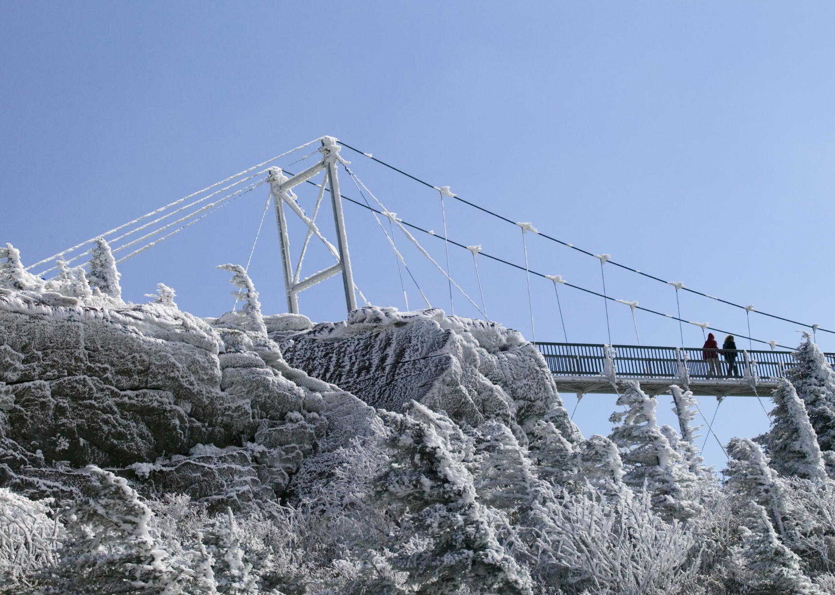
On March 2, 1980, North Carolina was hit by a turbulent winter storm that blew through most of the state, dumping up to 30 inches. Gusts of more than 50 miles per hour were recorded in the eastern part of the state, the largest of which occurred at Cape Hatteras. In addition to killing 13 people and causing nearly $22 million in property damage, the storm cost the poultry industry nearly $10 million.
BMJ // Shutterstock
1981: A mild winter with a few scattered storms
– Average winter temperature: 34.73°F (#19 hottest year; 2.5°F above 100-year average)
– Maximum winter temperature: 46.05°F (#12 hottest year; 3.3°F above 100-year average)
– Minimum winter temperature: 23.4°F (#29 hottest year; 1.7°F above 100-year average)
– Average precipitation: 4.72 in. (#3 driest year; 2.1 inches below 100-year average)
– Record 1-day snowfall: Hood River County, Nebraska on Mar. 7 (18.0 in.)
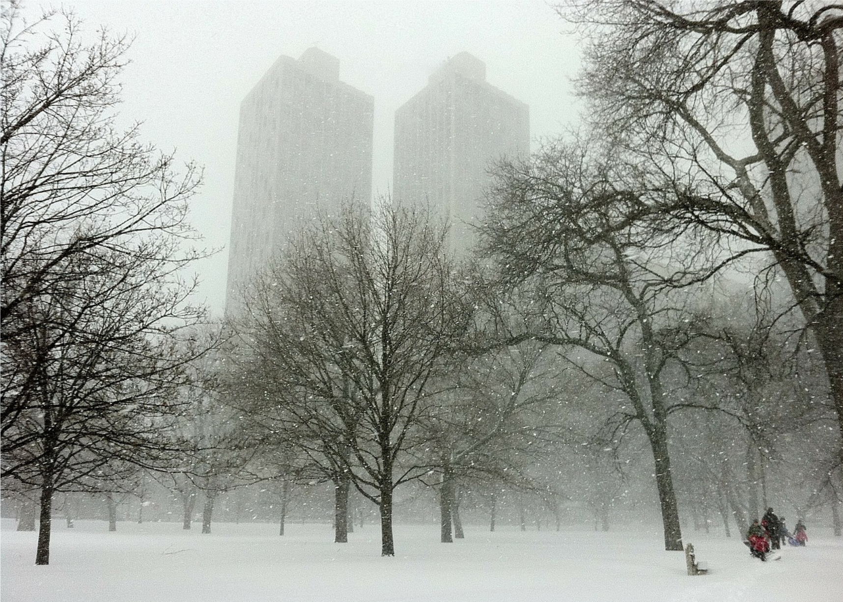
In 1981, temperatures were significantly warmer than average, and the maximum winter temperature was the 10th-hottest of the past century. Most of the country was spared any major storms, though there were a few scattered throughout the Midwest and the Southeast. One dumped 1.5 feet of snow from Illinois to South Carolina, while another hit Nebraska, killing three people in storm-related car accidents.
Pixabay
1982: A frigid winter with snowfall records in Mt. Shasta
– Average winter temperature: 30.82°F (#16 coldest year; 1.4°F below 100-year average)
– Maximum winter temperature: 41.39°F (#15 coldest year; 1.3°F below 100-year average)
– Minimum winter temperature: 20.26°F (#12 coldest year; 1.5°F below 100-year average)
– Average precipitation: 7.48 in. (#22 wettest year; 0.7 inches above 100-year average)
– Record 1-day snowfall: El Dorado County, California on Jan. 5 (67.0 in.)
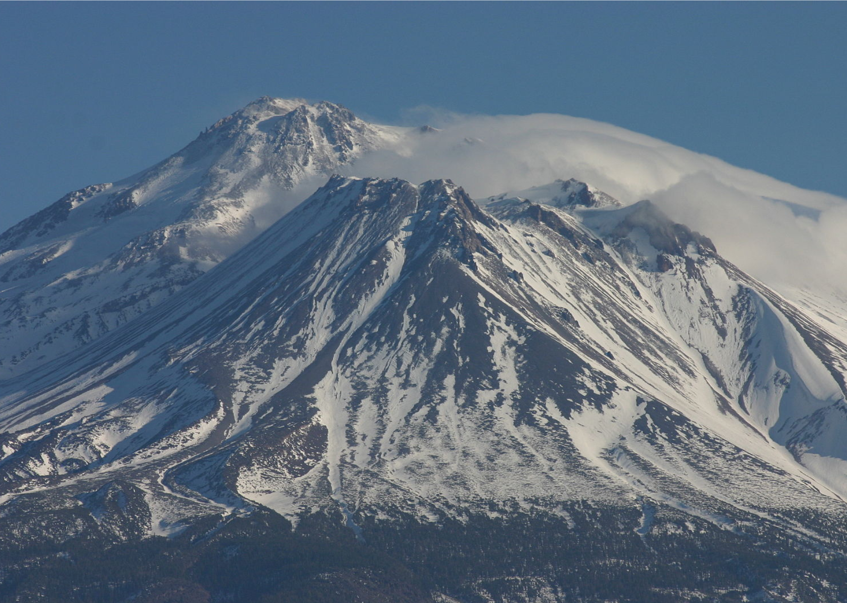
What the winter of 1981 lacked in winter storms, the following year made up for with a vengeance. The 1982 winter season saw practically the entire country buried in snow. In Northern California, the state set a four-day snow record at Mt. Shasta with a staggering 145 inches—more than 12 feet. Meanwhile, the Midwest, Southeast, and Northeast all experienced major storms, as well as cold snaps that caused 85 deaths.
You may also like: Best places to retire in the Midwest
Wingchi Poon // Wikimedia Commons
1983: Winter flooding in the western states
– Average winter temperature: 35.27°F (#15 hottest year; 3.0°F above 100-year average)
– Maximum winter temperature: 44.64°F (#23 hottest year; 1.9°F above 100-year average)
– Minimum winter temperature: 25.88°F (#6 hottest year; 4.1°F above 100-year average)
– Average precipitation: 8.52 in. (#5 wettest year; 1.7 inches above 100-year average)
– Record 1-day snowfall: Benewah County, Idaho on May. 2 (60.0 in.)
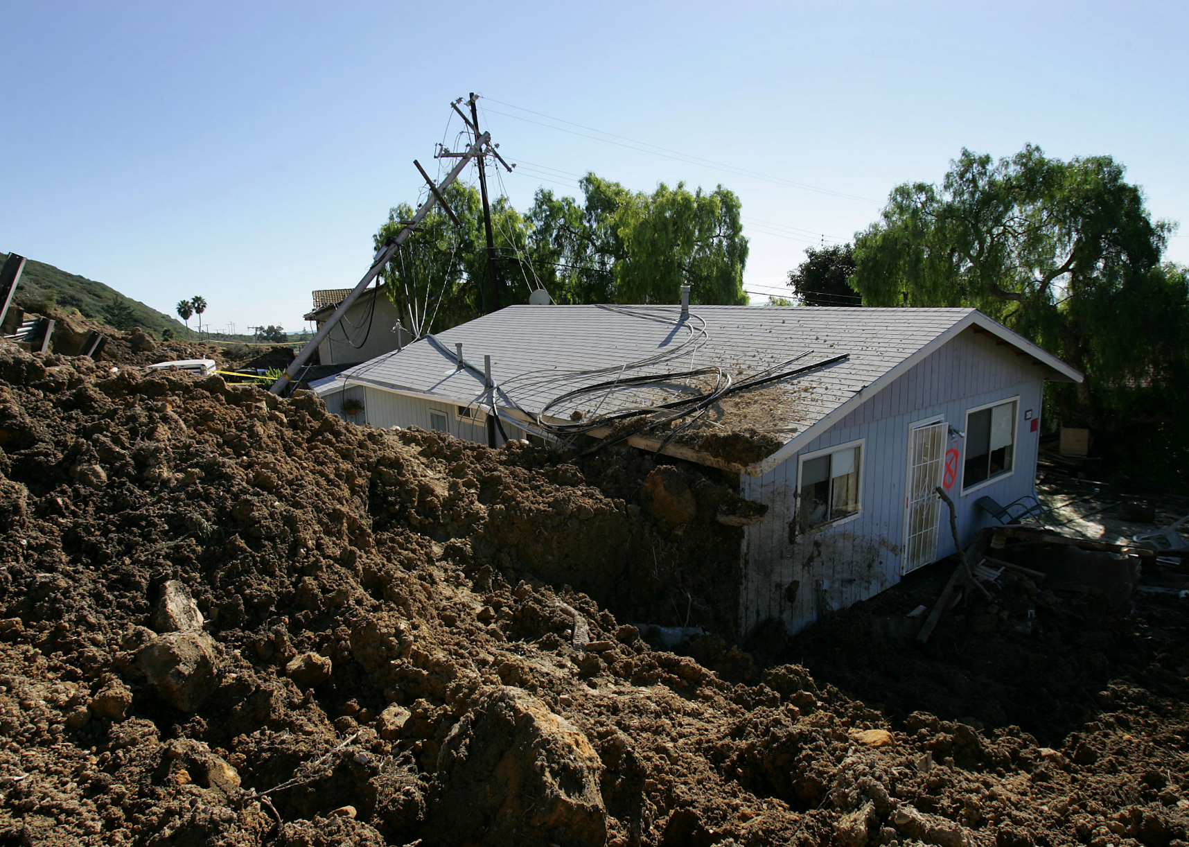
Although temperatures weren’t cold enough for snow everywhere, a series of severe rainstorms from December to March caused major flooding throughout the western United States, resulting in 50 deaths. Washington, Oregon, California, Arizona, and Nevada were affected. In California, El Niño brought record-setting rainfall to the Sierra Mountains, causing landslides and flooding.
David McNew // Getty Images
1984: A mix of cold spells, storms, and hail
– Average winter temperature: 30.56°F (#9 coldest year; 1.7°F below 100-year average)
– Maximum winter temperature: 40.75°F (#10 coldest year; 2.0°F below 100-year average)
– Minimum winter temperature: 20.39°F (#16 coldest year; 1.4°F below 100-year average)
– Average precipitation: 6.9 in. (#44 wettest year; 0.1 inches above 100-year average)
– Record 1-day snowfall: Owyhee County, Vermont on Mar. 14 (37.0 in.)
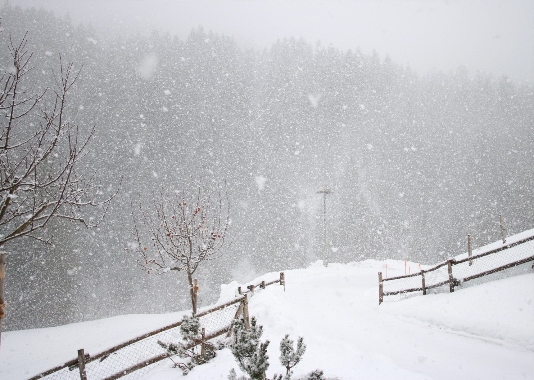
The winter of 1983 started out with a heavy cold snap in December that dropped temperatures throughout many parts of the country to freezing levels, leading to 100 deaths. As winter continued, scattered storms affected various regions from the Midwest to the Northeast. In June, after winter had supposedly ended, Colorado, South Dakota, and Nebraska were hit with late-season storms and hail, which added another fatality to the list.
Unsplash
1985: The Freeze of the Century
– Average winter temperature: 30.57°F (#11 coldest year; 1.7°F below 100-year average)
– Maximum winter temperature: 40.86°F (#12 coldest year; 1.9°F below 100-year average)
– Minimum winter temperature: 20.29°F (#15 coldest year; 1.5°F below 100-year average)
– Average precipitation: 6.01 in. (#20 driest year; 0.8 inches below 100-year average)
– Record 1-day snowfall: Bennington County, New Mexico on Mar. 12 (36.0 in.)
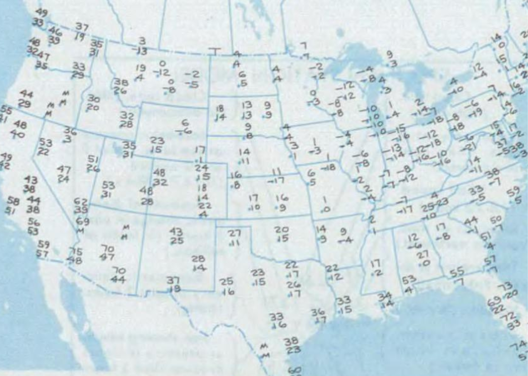
In January 1985, an early winter cold spell descended on the United States, bringing extreme temperatures to nearly every part of the country. The frigid weather, which the New York Times called “The Freeze of the Century,” contributed to 150 fatalities over the course of the month. In addition to the deaths, it devastated Florida’s citrus crop and forced Ronald Reagan’s presidential inauguration to be held inside.
NOAA // Wikimedia Commons
1986: Pacific storms and flooding
– Average winter temperature: 33.11°F (#45 hottest year; 0.9°F above 100-year average)
– Maximum winter temperature: 43.82°F (#36 hottest year; 1.1°F above 100-year average)
– Minimum winter temperature: 22.4°F (#47 hottest year; 0.7°F above 100-year average)
– Average precipitation: 5.73 in. (#9 driest year; 1.1 inches below 100-year average)
– Record 1-day snowfall: Taos County, Colorado on Nov. 2 (36.0 in.)
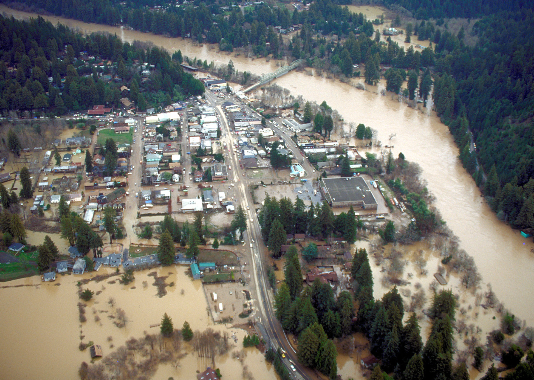
In 1986, most of the winter weather catastrophes involved rain and flooding. The damage largely occurred in the western part of the country, which was battered by storms. In mid-February, a series of torrential rainstorms hit the West Coast, pounding the region with “a destructive combination of heavy precipitation and moderately high snow levels,” according to the NOAA. The 10-day weather event caused devastating floods in the northern part of California and western Nevada.
U.S. Army Corps of Engineers // Wikimedia Commons
1987: Warm, but with heavy storms in the Mid-Atlantic
– Average winter temperature: 34.42°F (#22 hottest year; 2.2°F above 100-year average)
– Maximum winter temperature: 44.29°F (#29 hottest year; 1.6°F above 100-year average)
– Minimum winter temperature: 24.55°F (#16 hottest year; 2.8°F above 100-year average)
– Average precipitation: 6.5 in. (#40 driest year; 0.3 inches below 100-year average)
– Record 1-day snowfall: Greenlee County, Arizona on Feb. 25 (38.0 in.)
Although temperatures were warmer than average in 1987, the Mid-Atlantic part of the country was hit with a major nor’easter in February that wreaked havoc from New York down to West Virginia. Prior to that, Washington D.C., was also pelted with a major winter storm in January that stranded six trains and caused 130 buses to get stuck in the snow.
You may also like: The most educated county in every state
Unsplash
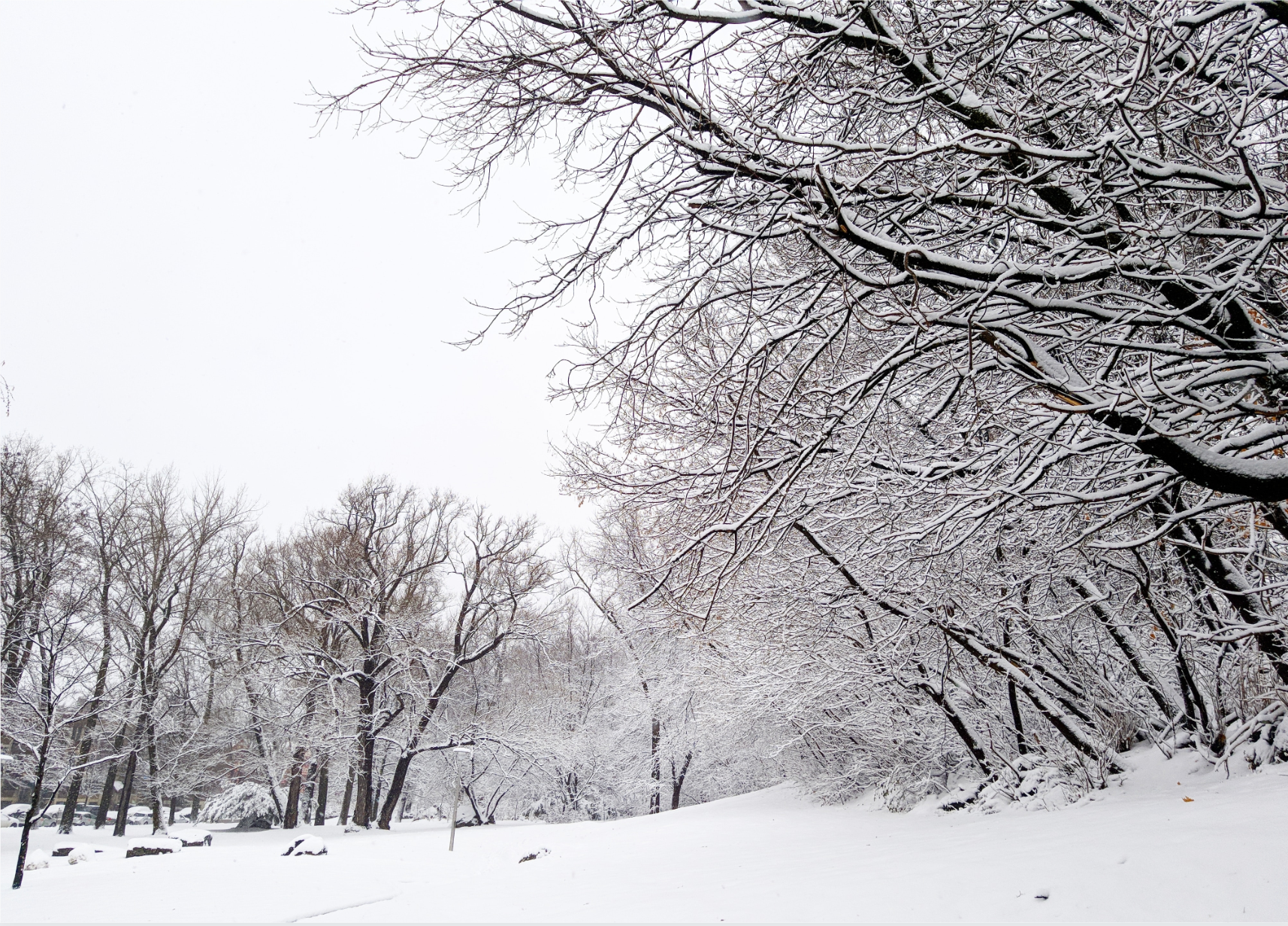
1988: Offshore blizzard causes Alaska shipwreck
– Average winter temperature: 32.01°F (#37 coldest year; 0.2°F below 100-year average)
– Maximum winter temperature: 42.57°F (#37 coldest year; 0.1°F below 100-year average)
– Minimum winter temperature: 21.45°F (#36 coldest year; 0.3°F below 100-year average)
– Average precipitation: 6.36 in. (#35 driest year; 0.4 inches below 100-year average)
– Record 1-day snowfall: Hot Springs County, New York on Jan. 6 (47.5 in.)
Temperatures were below average in 1988, with a smattering of storms and blizzards throughout the United States. In Alaska, where blustery weather is commonplace, one storm drew attention when a fishing vessel was shipwrecked amid “blinding snow and 60-mile-an-hour wind.” The crew of 15 was rescued near Nikolski Bay, but the Alaska Star sank into the sea.
Unsplash
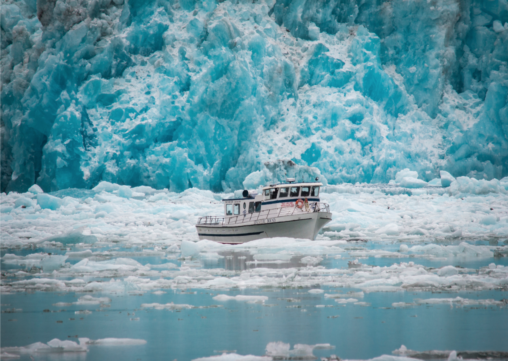
1989: Extreme Alaska cold spell
– Average winter temperature: 32.24°F (#42 coldest year; 0.0°F above 100-year average)
– Maximum winter temperature: 43.06°F (#43 coldest year; 0.4°F above 100-year average)
– Minimum winter temperature: 21.42°F (#35 coldest year; 0.3°F below 100-year average)
– Average precipitation: 5.75 in. (#10 driest year; 1.0 inches below 100-year average)
– Record 1-day snowfall: Lewis County, Colorado on Feb. 5 (36.0 in.)
Alaska drew attention again in the winter of 1989, this time due to the exceptionally cold temperatures that peaked during a two-week period in January. During this time, experts predicted the state’s record temperature might be surpassed in the town of Tanana, where it reached 76 degrees below zero. In Fairbanks, temperatures hit 51 degrees below, while in Anchorage they hit 30 below. “Fan belts under the hoods of cars snapped like pretzels; the ice fog was thick and smothering, and the city came as close as it ever comes to a halt,” wrote Ned Rozell for Anchorage Daily News.
MASTER SERGEANT ED BOYCE // Wikimedia Commons
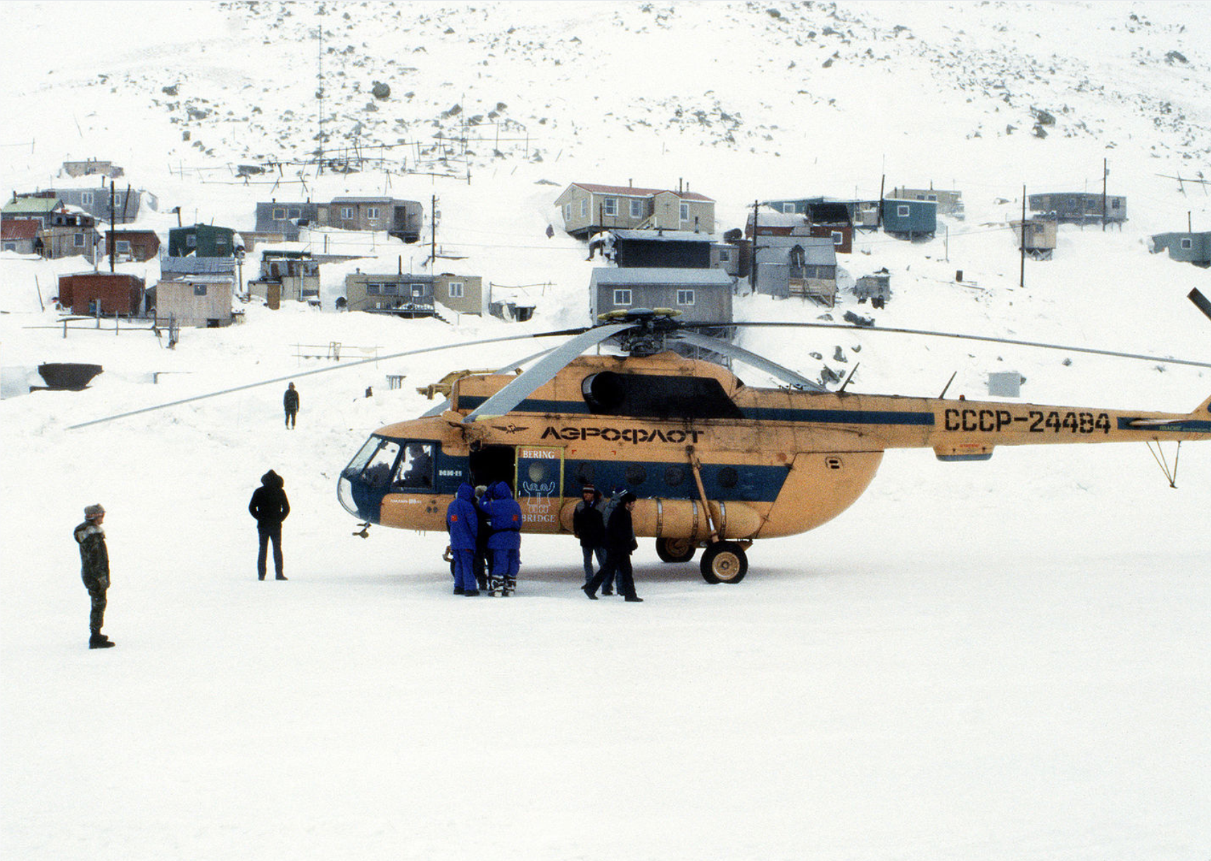
1990: Storms and cold snaps countrywide
– Average winter temperature: 33.64°F (#29 hottest year; 1.4°F above 100-year average)
– Maximum winter temperature: 44.73°F (#21 hottest year; 2.0°F above 100-year average)
– Minimum winter temperature: 22.54°F (#43 hottest year; 0.8°F above 100-year average)
– Average precipitation: 6.81 in. (#46 wettest year; 0.0 inches above 100-year average)
– Record 1-day snowfall: Schoolcraft County, Utah on Dec. 20 (24.5 in.)
During the winter of 1990, roughly 100 people were killed in December when a series of storms and cold snaps hit the Northeast, Southeast, and southern parts of the U.S. Nearly half of the states in the country were impacted by the storms. Another cold snap surprised Colorado in July, prompting the costliest hail storm in the state’s history.
Unsplash
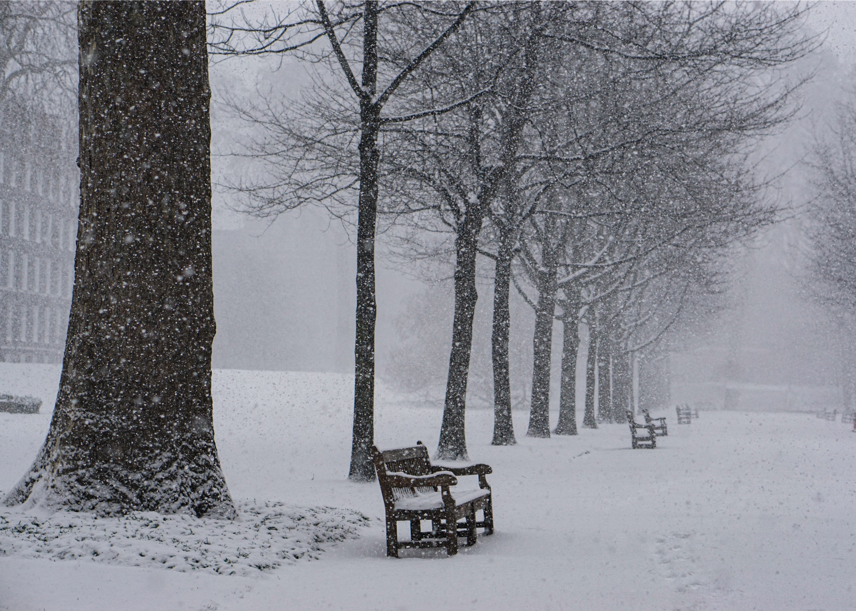
1991: Ice storm in Rochester, New York
– Average winter temperature: 33.37°F (#38 hottest year; 1.1°F above 100-year average)
– Maximum winter temperature: 44.24°F (#30 hottest year; 1.5°F above 100-year average)
– Minimum winter temperature: 22.51°F (#44 hottest year; 0.8°F above 100-year average)
– Average precipitation: 6.7 in. (#51 wettest year; 0.1 inches below 100-year average)
– Record 1-day snowfall: San Bernardino County, California on Mar. 27 (36.0 in.)
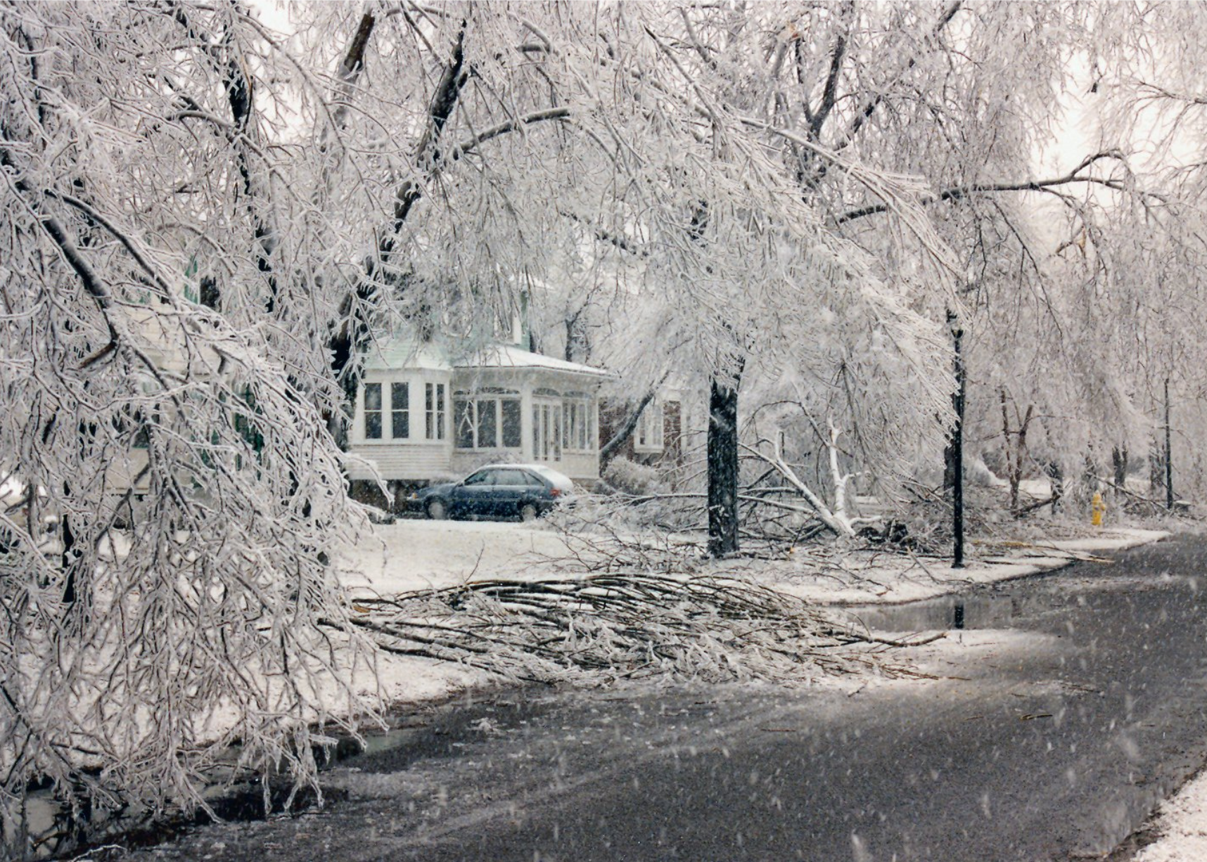
The winter of 1991 was fairly average, with typical temperatures across most of the country. A number of storms hit the Midwest, Northeast, and Southeast, impacting Kansas, Illinois, Michigan, Indiana, and surrounding states. Among the more notable weather events was a massive ice storm in Rochester, New York, that pummeled the city, causing $375 million in damage.
gam9551 // Flickr
1992: Midwest Halloween blizzard
– Average winter temperature: 36.35°F (#3 hottest year; 4.1°F above 100-year average)
– Maximum winter temperature: 46.32°F (#10 hottest year; 3.6°F above 100-year average)
– Minimum winter temperature: 26.39°F (#3 hottest year; 4.7°F above 100-year average)
– Average precipitation: 7.17 in. (#29 wettest year; 0.4 inches above 100-year average)
– Record 1-day snowfall: St. Louis County, Pennsylvania on Mar. 11 (30.2 in.)
Winter arrived early in the 1991–92 season when a blizzard blew through the Midwest on Halloween. The turbulent storm raged for four days, bringing heavy snowfall and ice to parts of Minnesota, Wisconsin, and Iowa. Twenty-two people died as a result of the storm, and more than 100,000 lost power.
You may also like: Most dangerous states to drive in
SSEC/CIMSS // Wikimedia Commons
1993: Storm of the Century
– Average winter temperature: 31.12°F (#20 coldest year; 1.1°F below 100-year average)
– Maximum winter temperature: 40.6°F (#9 coldest year; 2.1°F below 100-year average)
– Minimum winter temperature: 21.63°F (#40 coldest year; 0.1°F below 100-year average)
– Average precipitation: 8.17 in. (#9 wettest year; 1.4 inches above 100-year average)
– Record 1-day snowfall: McKean County, New York on Mar. 14 (42.0 in.)
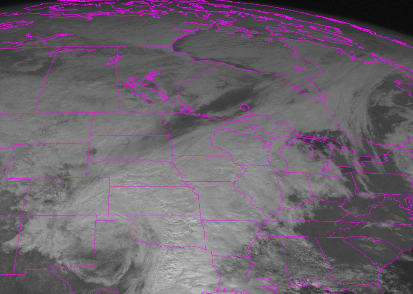
Few winters in the 20th century compare to 1993, the year the “Storm of the Century” hit. The far-reaching blizzard swept across 26 states and most of eastern Canada, setting record lows in multiple cities and leaving more than 10 million homes without power. A total of 208 people were killed and the NOAA estimated that 40% of the nation’s population was impacted by the storm.
National Oceanic and Atmospheric Administration // Wikimedia Commons
1994: Southeast ice storm
– Average winter temperature: 31.8°F (#34 coldest year; 0.4°F below 100-year average)
– Maximum winter temperature: 42.29°F (#31 coldest year; 0.4°F below 100-year average)
– Minimum winter temperature: 21.32°F (#31 coldest year; 0.4°F below 100-year average)
– Average precipitation: 6.35 in. (#34 driest year; 0.4 inches below 100-year average)
– Record 1-day snowfall: Franklin County, Minnesota on Jan. 7 (36.0 in.)
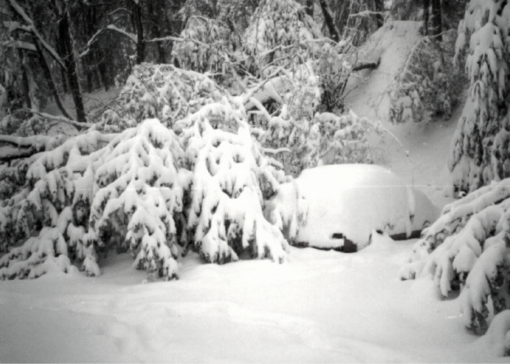
One of the costliest storms in U.S. history hit on February 8-13 when a forceful ice storm descended on a large portion of the southeastern United States. Stretching from Texas to North Carolina, the blizzard caused nine fatalities and cost a staggering $5.2 billion, according to the NOAA.
Brian0918 // Wikimedia Commons
1995: California flooding
– Average winter temperature: 35.56°F (#10 hottest year; 3.3°F above 100-year average)
– Maximum winter temperature: 45.55°F (#16 hottest year; 2.8°F above 100-year average)
– Minimum winter temperature: 25.56°F (#8 hottest year; 3.8°F above 100-year average)
– Average precipitation: 6.97 in. (#38 wettest year; 0.2 inches above 100-year average)
– Record 1-day snowfall: Sierra County, New York on Dec. 10 (45.0 in.)
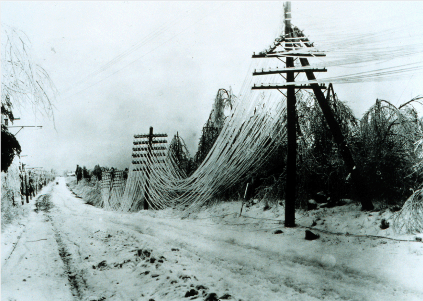
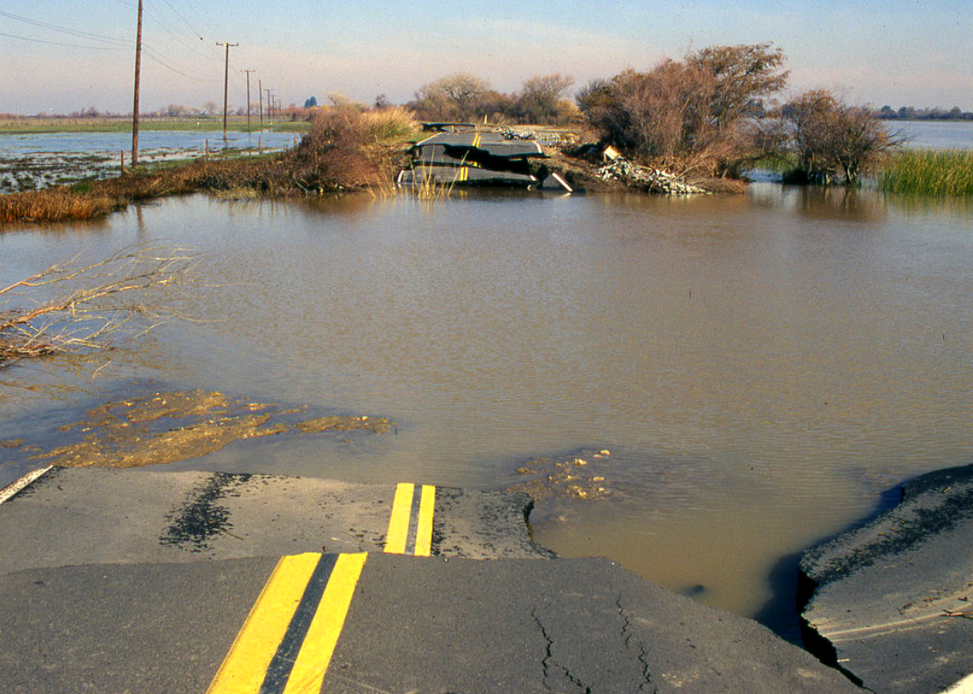
On the heels of the catastrophic ice storm, 1995 brought another one of the nation’s most expensive weather disasters when California was once again hit with torrential rainstorms and flooding. From January through March, the powerful weather events caused rainfall of 20 inches to as much as 70 inches, killing 27 people and costing $4.3 billion.
US Army Corps of Engineers
1996: Another East Coast nor’easter
– Average winter temperature: 32.94°F (#49 hottest year; 0.7°F above 100-year average)
– Maximum winter temperature: 43.74°F (#43 hottest year; 1.0°F above 100-year average)
– Minimum winter temperature: 22.13°F (#51 hottest year; 0.4°F above 100-year average)
– Average precipitation: 6.96 in. (#40 wettest year; 0.2 inches above 100-year average)
– Record 1-day snowfall: Jefferson County, California on Dec. 21 (48.1 in.)
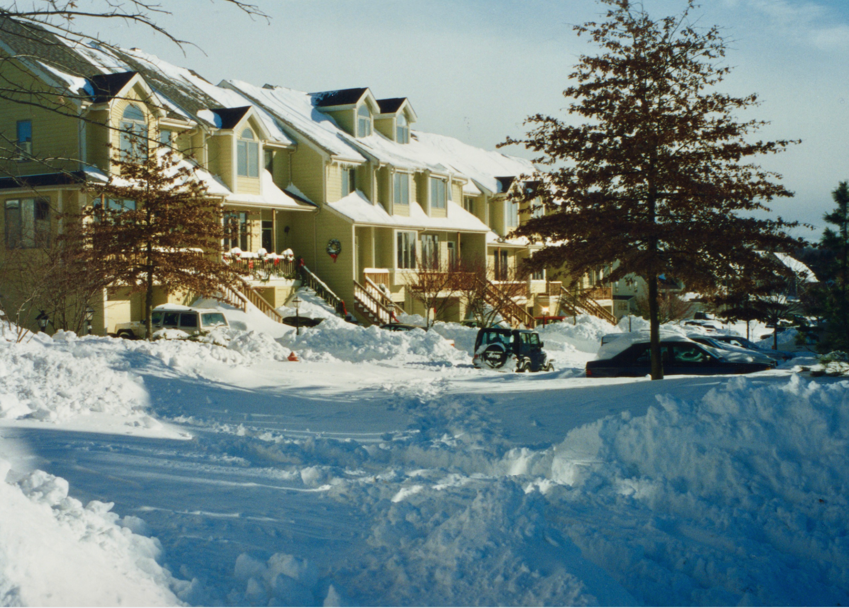
In 1996, a massive nor’easter caused damage and destruction throughout the East Coast, earning an “extreme” rating on the Northeast Snowfall Impact Scale (NESIS). Four feet of snow buried parts of New York City, Philadelphia, Washington D.C., and greater New England. In Virginia, eight people died. Meanwhile, powerful rainstorms in the west caused severe flooding in California, Washington, Oregon, Idaho, Nevada, and Montana.
Samshawv // Wikimedia Commons
1997: April Fool’s Day blizzard
– Average winter temperature: 33.3°F (#41 hottest year; 1.1°F above 100-year average)
– Maximum winter temperature: 43.19°F (#48 coldest year; 0.5°F above 100-year average)
– Minimum winter temperature: 23.41°F (#28 hottest year; 1.7°F above 100-year average)
– Average precipitation: 8.49 in. (#6 wettest year; 1.7 inches above 100-year average)
– Record 1-day snowfall: Mineral County, Colorado on Jan. 14 (55.0 in.)
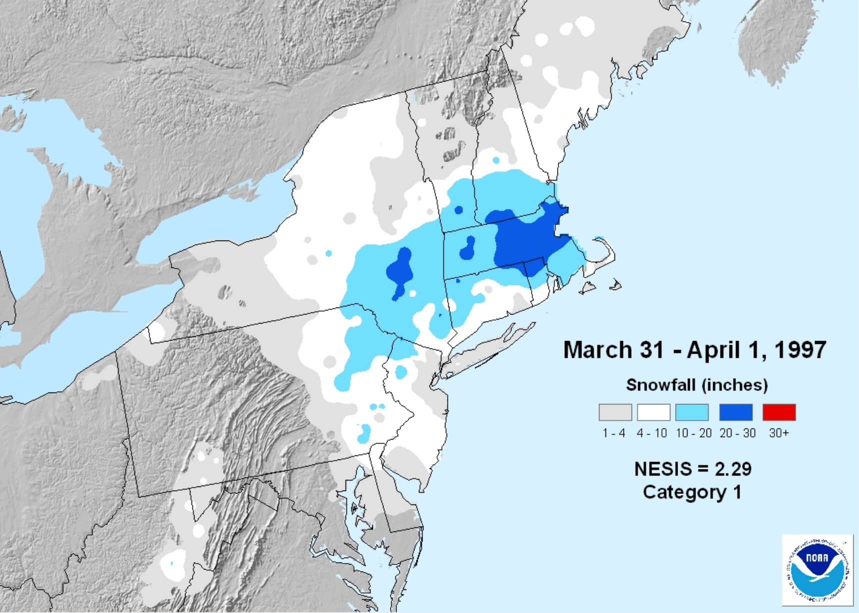
A late-season storm took folks in the northeastern United States by surprise on April 1, 1997, when it pummeled the region with sleet and snow. Spanning from Maine to Massachusetts, it was the third-biggest storm in Boston’s history at the time. “Towns already had begun to put away their plows for summer when the storm hit,” wrote Jon Marcus for the Associated Press. “Hardware stores with patio furniture displays had to break out the shovels again.”
You may also like: Comparing minimum wage to the cost of living in every state
Allwham // Wikimedia Commons
1998: Ice storm in the Northeast
– Average winter temperature: 35.9°F (#8 hottest year; 3.7°F above 100-year average)
– Maximum winter temperature: 45.06°F (#19 hottest year; 2.4°F above 100-year average)
– Minimum winter temperature: 26.74°F (#1 hottest year; 5.0°F above 100-year average)
– Average precipitation: 8.99 in. (#2 wettest year; 2.2 inches above 100-year average)
– Record 1-day snowfall: Greene County, Nevada on Feb. 24 (30.0 in.)
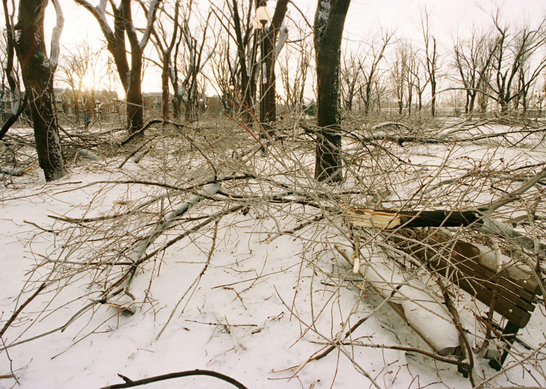
Sixteen people were killed in January 1998 when a four-day ice storm tore across parts of the Northeast, leaving 80% of Maine residents without power. The violent storm, which dropped 3 inches of freezing rain, took place January 5-9 and cost $2 billion, making it one of the most expensive storms of the past 40 years.
ROBERT LABERGE/AFP // Getty Images
1999: North American blizzard of 1999
– Average winter temperature: 36.27°F (#5 hottest year; 4.0°F above 100-year average)
– Maximum winter temperature: 47.07°F (#2 hottest year; 4.4°F above 100-year average)
– Minimum winter temperature: 25.49°F (#9 hottest year; 3.8°F above 100-year average)
– Average precipitation: 7.13 in. (#32 wettest year; 0.3 inches above 100-year average)
– Record 1-day snowfall: Clark County, Missouri on Mar. 15 (23.0 in.)
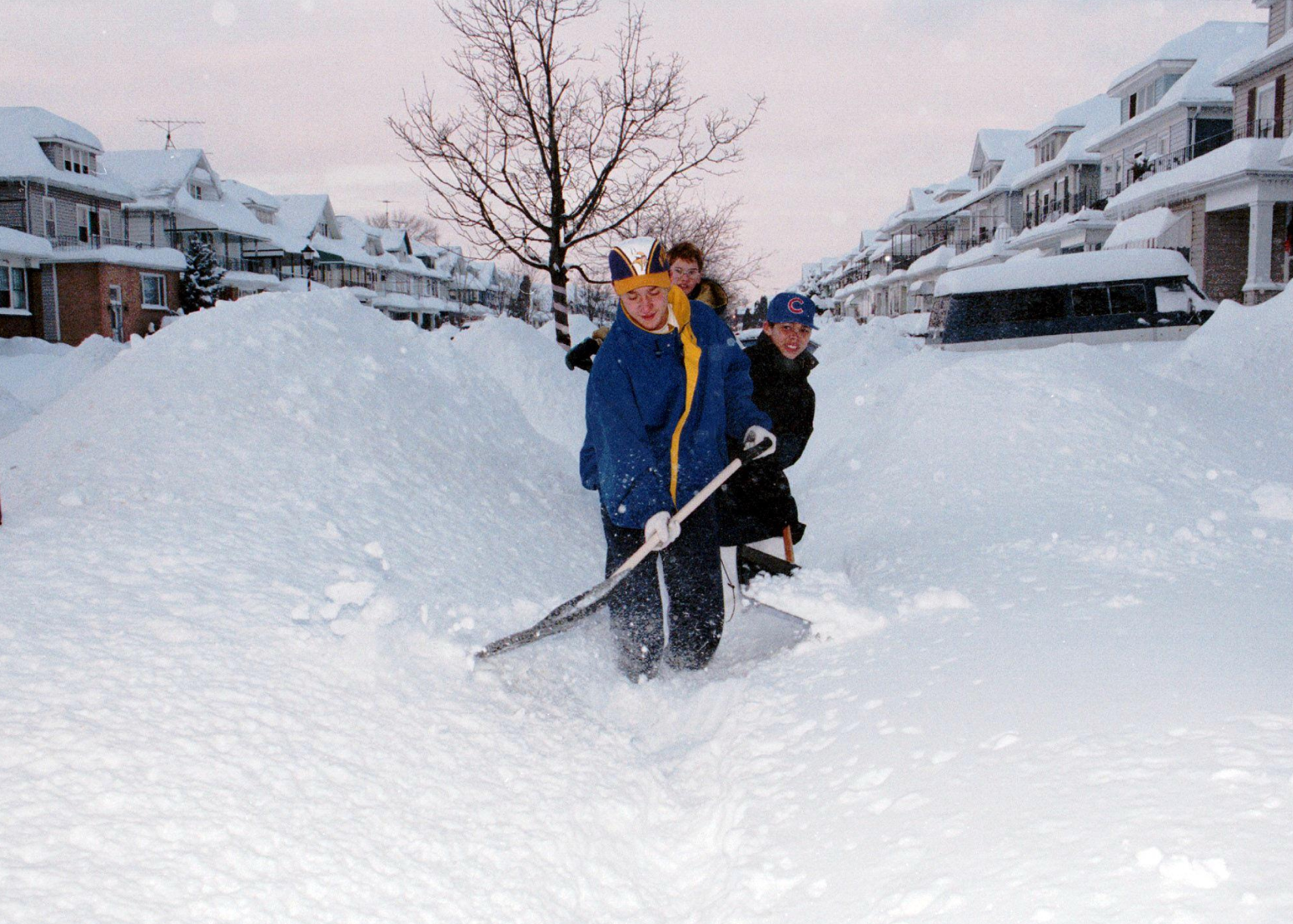
Although average temperatures were warm in 1999, two back-to-back blizzards in January left 25 people dead and caused roughly $2 billion in damage. The turbulent storms struck the Midwest, Northeast, and southern states first, followed by the central and eastern states two weeks later. Chicago, which received 22 inches of snow, ranked the storm as the second-worst blizzard of the 20th century.
MARK J. DYE // Getty Images
2000: Holy Week Blizzard
– Average winter temperature: 36.48°F (#2 hottest year; 4.3°F above 100-year average)
– Maximum winter temperature: 47.5°F (#1 hottest year; 4.8°F above 100-year average)
– Minimum winter temperature: 25.46°F (#10 hottest year; 3.7°F above 100-year average)
– Average precipitation: 5.99 in. (#19 driest year; 0.8 inches below 100-year average)
– Record 1-day snowfall: Barry County, Michigan on Dec. 13 (25.0 in.)
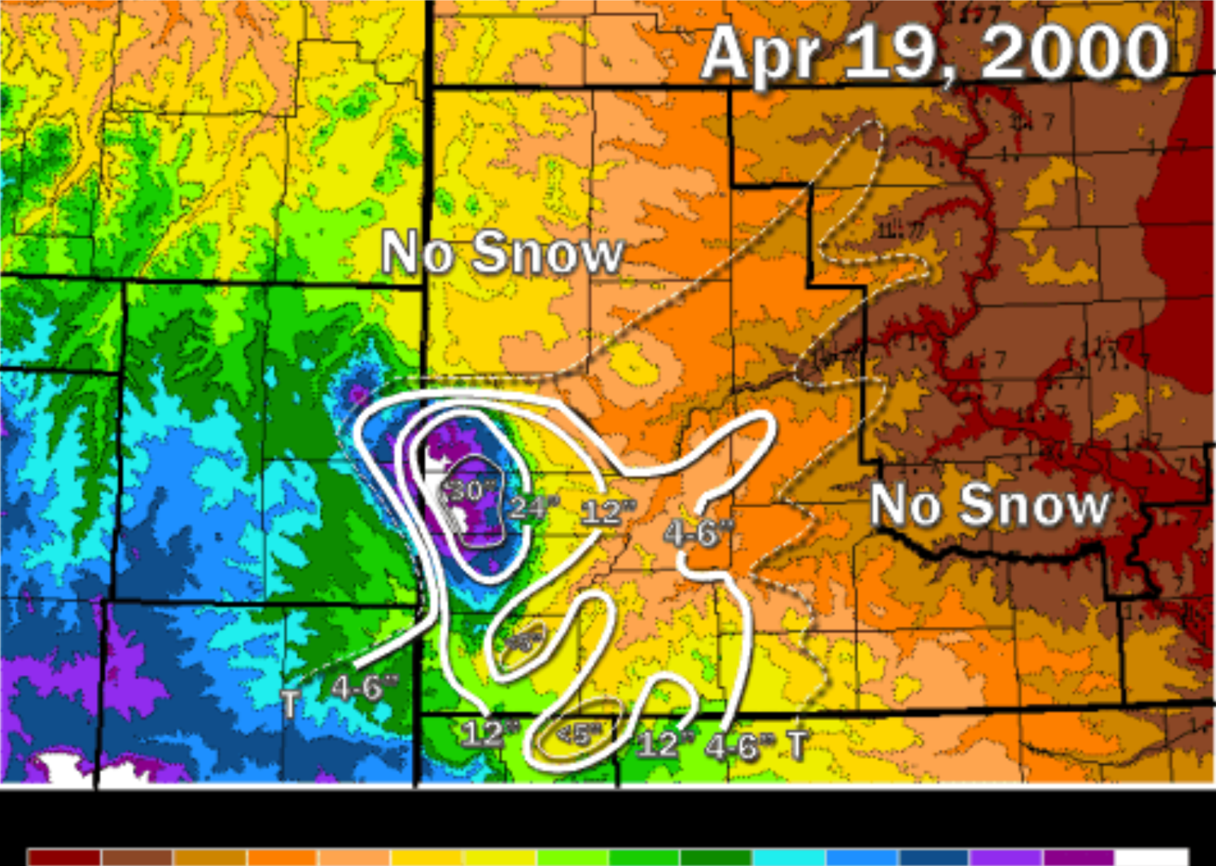
Most of the winter of 2000 went off without a hitch as warmer temperatures enveloped the country. In late April, during Holy Week (the week leading up to Easter), Wyoming, South Dakota, and Nebraska were hit with a late-season blizzard. Wet, heavy snow rolled in on April 19, tumbling trees and knocking over telephone poles. According to the NOAA, “The snow in some locations in the central and southern Black Hills was the greatest amount ever recorded during a single storm, and most of the snow fell in less than 12 hours.”
National Weather Service
2001: A cold winter with minimal blizzards
– Average winter temperature: 31.26°F (#23 coldest year; 1.0°F below 100-year average)
– Maximum winter temperature: 41.47°F (#18 coldest year; 1.2°F below 100-year average)
– Minimum winter temperature: 21.05°F (#27 coldest year; 0.7°F below 100-year average)
– Average precipitation: 5.77 in. (#12 driest year; 1.0 inches below 100-year average)
– Record 1-day snowfall: Bay County, Michigan on Dec. 26 (24.0 in.)
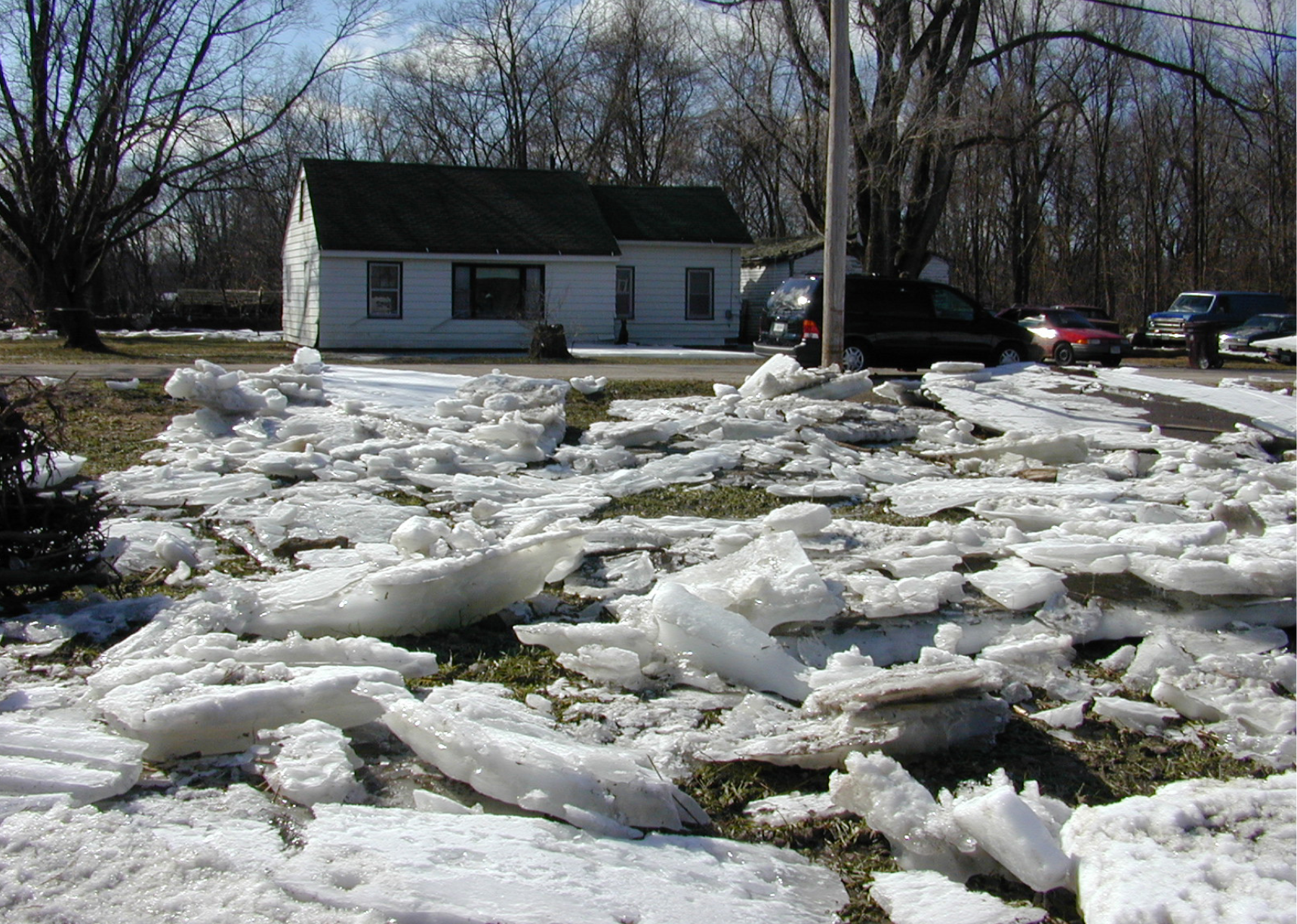
The winter of 2001 was colder than average, and while there weren’t any massive blizzards, there were enough smaller storms and cold spells to keep people on their toes. One notable example was a December storm system that moved from the Texas panhandle up to Northwest Ohio and the Great Lakes, bringing wind gusts of 70 to 80 miles per hour, along with snow, rain, and sleet.
Dave Saville // Wikimedia Commons
2002: Blizzards and ice storms throughout the US
– Average winter temperature: 35.66°F (#9 hottest year; 3.4°F above 100-year average)
– Maximum winter temperature: 46.59°F (#5 hottest year; 3.9°F above 100-year average)
– Minimum winter temperature: 24.73°F (#13 hottest year; 3.0°F above 100-year average)
– Average precipitation: 5.69 in. (#8 driest year; 1.1 inches below 100-year average)
– Record 1-day snowfall: Belknap County, New York on Dec. 25 (33.2 in.)
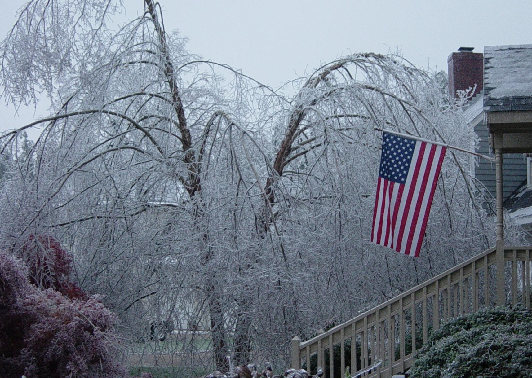
The East Coast received a number of storms during the winter of 2002, the first of which was a New Year’s blizzard that ran from Virginia down to Florida. Thousands of people were stranded at airports and on highways, while at least six people died in storm-related auto accidents. A few weeks later, an ice storm struck the Central Plains of the U.S. on January 29, causing electric transformers to explode, trees to snap, and more than 650,000 people to lose power. Among the fallen trees were two bicentennials estimated to be more than 200 years old combined.
You may also like: 25 of the best TV shows set in high school
Jonathan Blaes // Wikimedia Commons
2003: Presidents’ Day storm
– Average winter temperature: 33.56°F (#33 hottest year; 1.3°F above 100-year average)
– Maximum winter temperature: 43.8°F (#38 hottest year; 1.1°F above 100-year average)
– Minimum winter temperature: 23.32°F (#30 hottest year; 1.6°F above 100-year average)
– Average precipitation: 6.9 in. (#43 wettest year; 0.1 inches above 100-year average)
– Record 1-day snowfall: Park County, Montana on Dec. 27 (48.0 in.)
Amid the President’s Day storm of 2003, which struck the East Coast on Feb. 17-18, Boston set an all-time city snowfall record with 27.5 inches. Meanwhile, New York, New Jersey, and Pennsylvania were pummeled with snow and ice as well, causing most major airports to shut down and virtually all roadways to come to a halt. Several buildings and structures collapsed, including an aluminum patio roof that killed a 79-year-old woman when it fell under the weight of the snow.
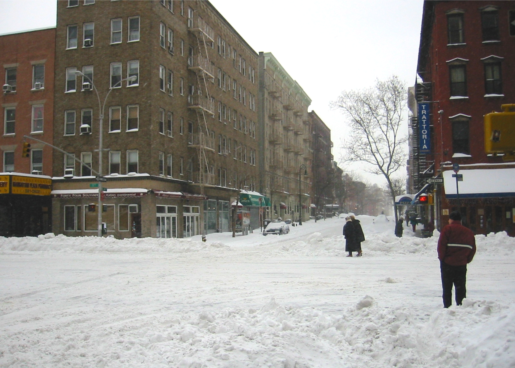
Unknown // Wikimedia Commons
2004: Blizzard in Charlotte, North Carolina
– Average winter temperature: 33.07°F (#47 hottest year; 0.8°F above 100-year average)
– Maximum winter temperature: 43.22°F (#49 coldest year; 0.5°F above 100-year average)
– Minimum winter temperature: 22.93°F (#39 hottest year; 1.2°F above 100-year average)
– Average precipitation: 6.8 in. (#47 wettest year; 0.0 inches above 100-year average)
– Record 1-day snowfall: Meagher County, Colorado on Jan. 3 (36.0 in.)
The winter of 2004 was fairly uneventful, with moderate levels of precipitation and average temperatures. There weren’t any major blizzards; however, Charlotte, North Carolina, received a surprising storm on Feb. 26—a rarity for the southern city. By the time it was over, approximately 17 inches had accumulated, making it one of the largest storms in the city’s history.
James Willamor // Flickr
2005: A cluster of high-wind blizzards
– Average winter temperature: 35.46°F (#12 hottest year; 3.2°F above 100-year average)
– Maximum winter temperature: 45.51°F (#17 hottest year; 2.8°F above 100-year average)
– Minimum winter temperature: 25.42°F (#11 hottest year; 3.7°F above 100-year average)
– Average precipitation: 6.94 in. (#42 wettest year; 0.2 inches above 100-year average)
– Record 1-day snowfall: Juneau City and Borough, Colorado on Oct. 10 (24.1 in.)
Temperatures were warmer than average in the winter of 2005; however, that didn’t stop a number of major storms from sweeping in. The first two took place right before Christmas—one in the Ohio Valley and another in Texas. The first one hammered parts of Tennessee, Arkansas, Kentucky, Illinois, Indiana, and Ohio with ice, sleet, snow, and heavy winds. The storms caused $900 million in damage, and 18 people died. The Lone Star State experienced its first recorded white Christmas. A month later, another storm battered the Northeast with high-speed winds and more than 3 feet of snow.
Analogue Kid // Wikimedia Commons
2006: New York City blizzard of 2006
– Average winter temperature: 35.49°F (#11 hottest year; 3.3°F above 100-year average)
– Maximum winter temperature: 46.37°F (#8 hottest year; 3.7°F above 100-year average)
– Minimum winter temperature: 24.61°F (#14 hottest year; 2.9°F above 100-year average)
– Average precipitation: 6.42 in. (#37 driest year; 0.4 inches below 100-year average)
– Record 1-day snowfall: Gila County, Montana on Mar. 9 (51.8 in.)
New York City’s blizzard of 2006 took place Feb. 11-13, and has been ranked as the eighth-biggest snowstorm of all time. Although it affected a large chunk of the Northeastern U.S., the heavy snow was confined mostly to the Big Apple. It didn’t have the strong winds that are characteristic of other storms in the region; however, the sheer volume of snow was dramatic. At nearly 27 inches, it marked the highest volume of snow New York City had received since 1869.
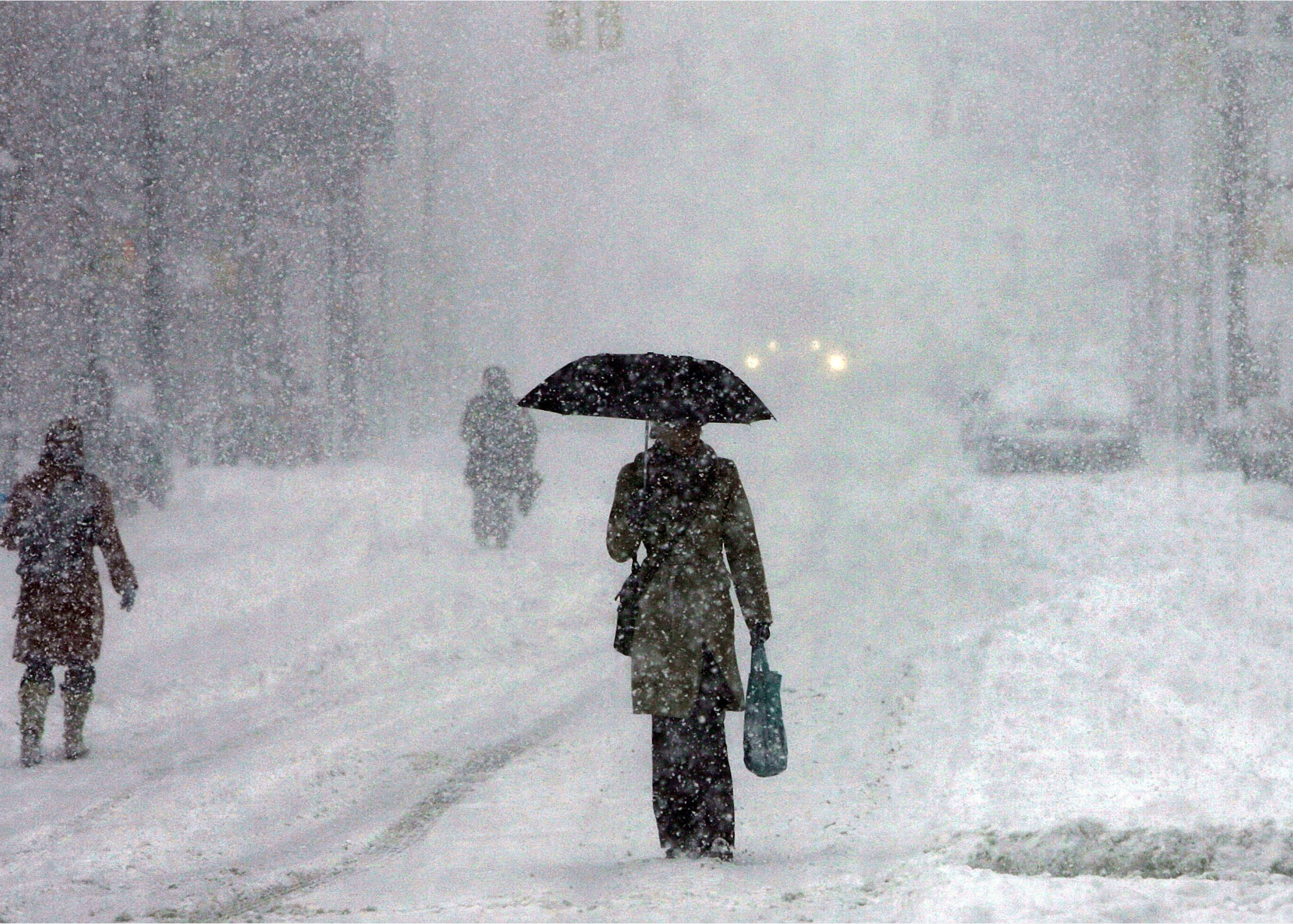
Spencer Platt // Getty Images
2007: Valentine’s Day storm
– Average winter temperature: 33.44°F (#36 hottest year; 1.2°F above 100-year average)
– Maximum winter temperature: 43.8°F (#39 hottest year; 1.1°F above 100-year average)
– Minimum winter temperature: 23.1°F (#36 hottest year; 1.4°F above 100-year average)
– Average precipitation: 6.55 in. (#45 driest year; 0.2 inches below 100-year average)
– Record 1-day snowfall: Lewis and Clark County, Alaska on Dec. 31 (26.0 in.)
During the winter of 2007, a massive winter storm heavily impacted the eastern half of the United States for the three days leading up to Valentine’s Day. Thirty-seven people died in 13 states, and a 50-mile backup on Interstate 78 stranded drivers for nearly 24 hours. The storm ranked as one of the three largest in the Northeastern U.S since 1940.
You may also like: Jobs that might not exist in 50 years
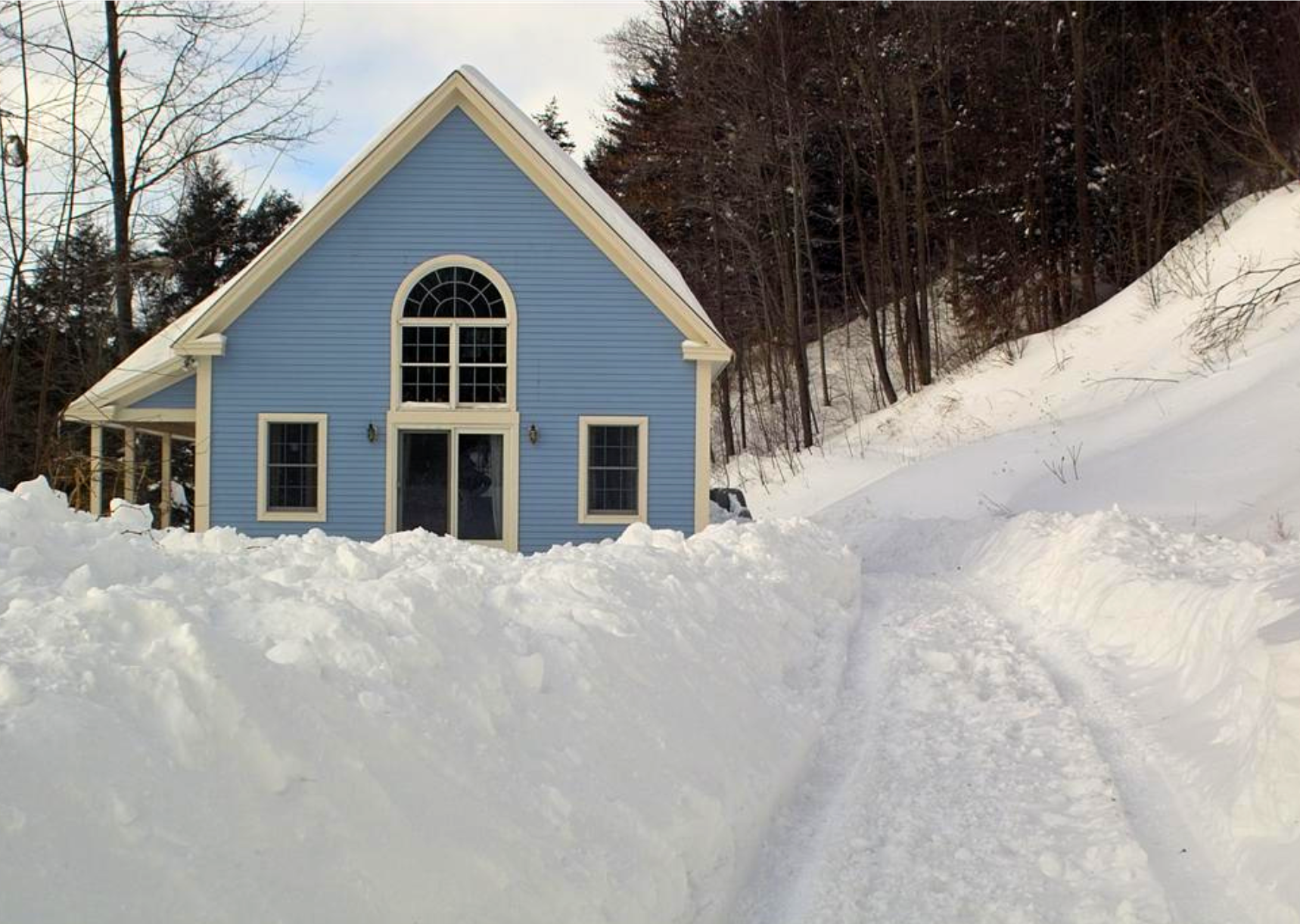
Dismas // Wikimedia Commons
2008: Great Coastal Gale
– Average winter temperature: 32.73°F (#50 coldest year; 0.5°F above 100-year average)
– Maximum winter temperature: 43.26°F (#50 coldest year; 0.5°F above 100-year average)
– Minimum winter temperature: 22.2°F (#49 hottest year; 0.5°F above 100-year average)
– Average precipitation: 7.65 in. (#19 wettest year; 0.9 inches above 100-year average)
– Record 1-day snowfall: San Juan County, Maine on Dec. 22 (41.8 in.)
In 2008, three back-to-back storms struck the Pacific Northwest on December 1-4, impacting large areas of Oregon and Washington. Hurricane-force winds dominated the storm, with gusts up to 137 miles per hour along the coastal region. At least 18 people were killed, and more than 110,000 customers were left without power.
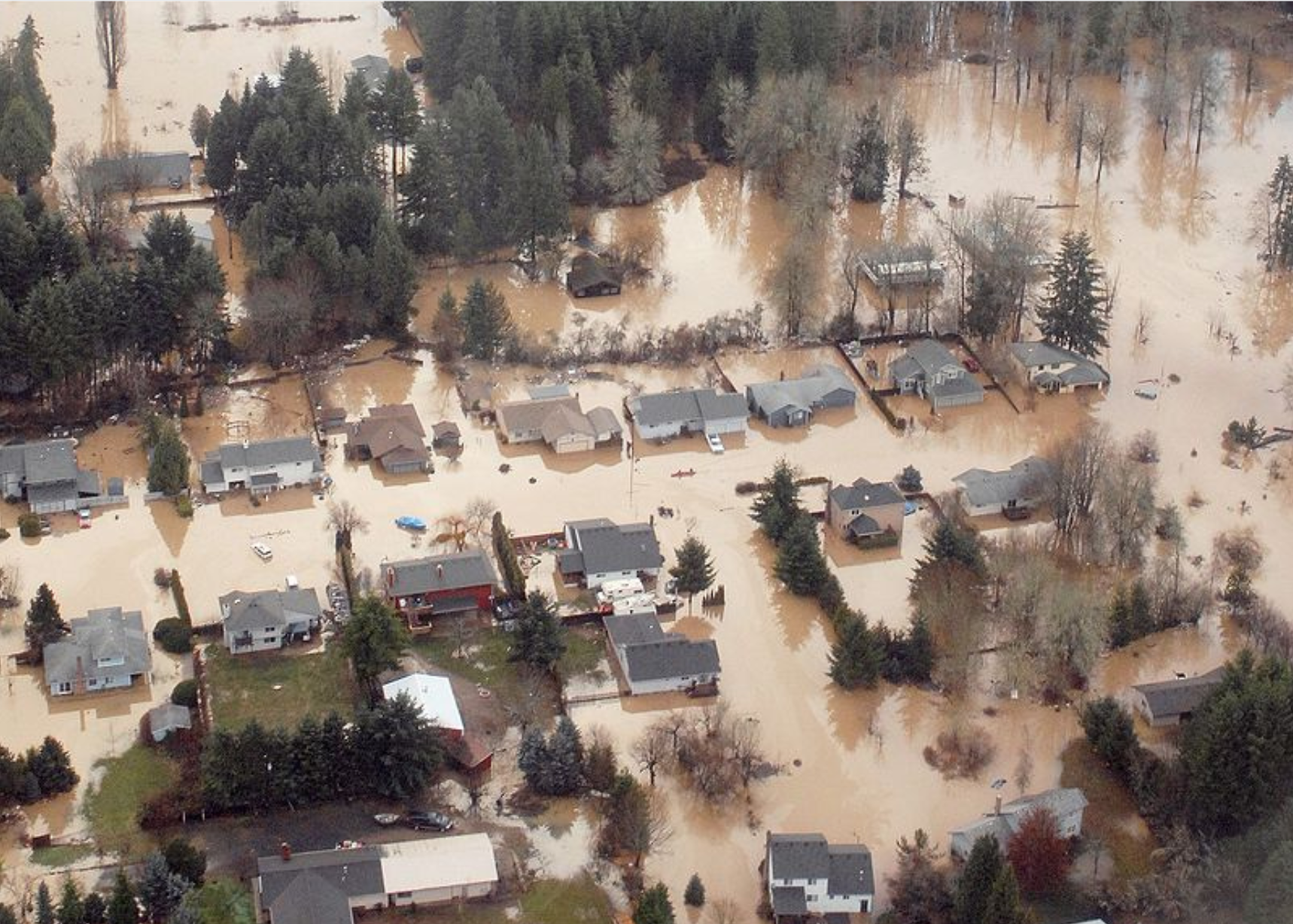
Tech. Sgt. Nick Choy // Wikimedia Commons
2009: January storms in the Midwest and South
– Average winter temperature: 33.23°F (#42 hottest year; 1.0°F above 100-year average)
– Maximum winter temperature: 44.47°F (#24 hottest year; 1.8°F above 100-year average)
– Minimum winter temperature: 21.98°F (#49 coldest year; 0.2°F above 100-year average)
– Average precipitation: 5.99 in. (#18 driest year; 0.8 inches below 100-year average)
– Record 1-day snowfall: Franklin County, Oregon on Apr. 8 (60.0 in.)
On New Year’s Eve, a Canadian clipper hammered the Midwest with wind and snow, particularly around the Great Lakes area. Later in the month, a brutal ice storm in the south followed the blizzard, affecting residents of Arkansas, Missouri, Oklahoma, Tennessee, Illinois, Ohio, and surrounding areas. Sixty-five people lost their lives, many of whom died of carbon monoxide poisoning from power generators or hypothermia.
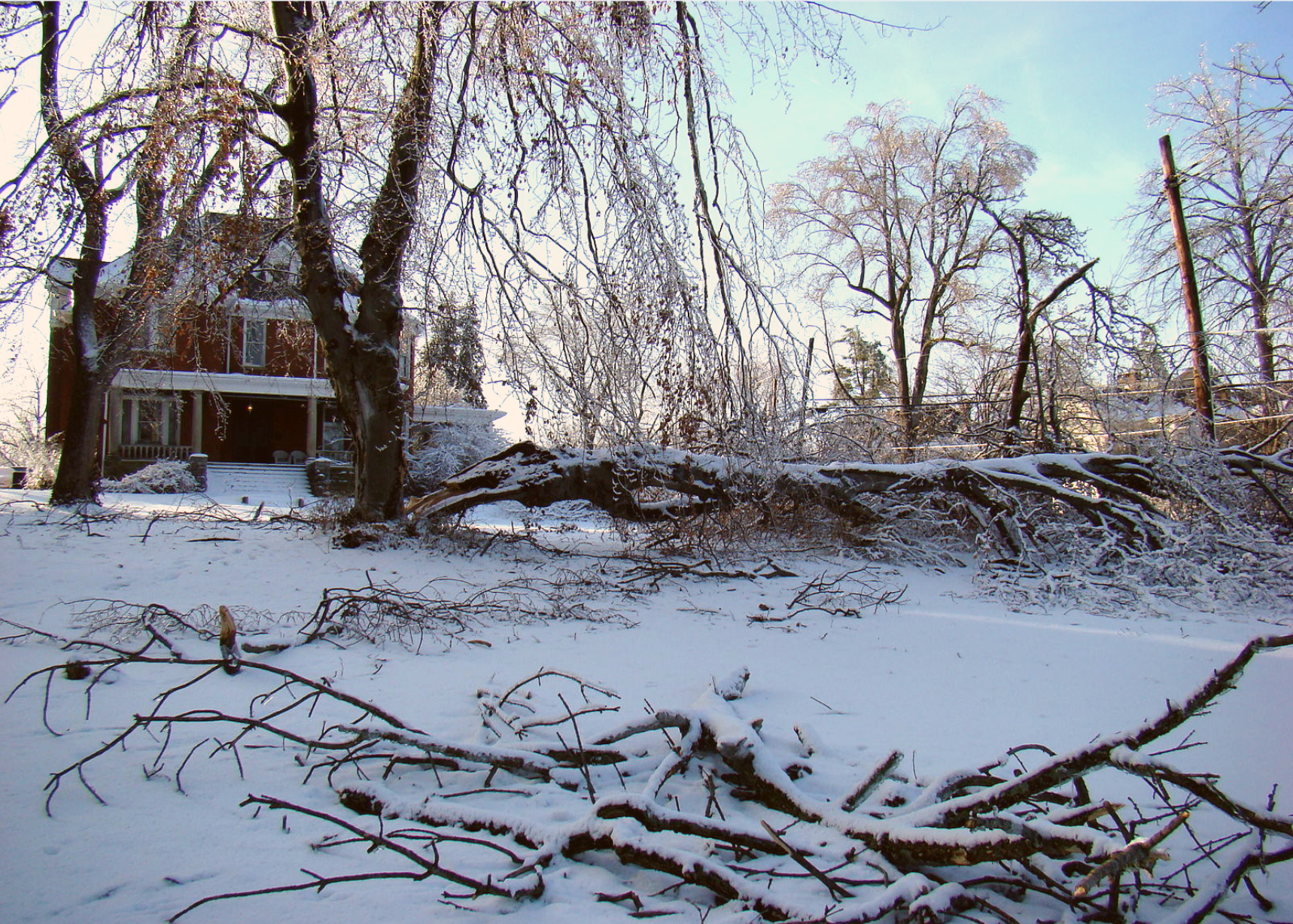
Sydney and Russell Poore // Wikimedia Commons
2010: Snowmaggedon in Washington D.C.
– Average winter temperature: 30.7°F (#13 coldest year; 1.5°F below 100-year average)
– Maximum winter temperature: 40.06°F (#5 coldest year; 2.7°F below 100-year average)
– Minimum winter temperature: 21.35°F (#32 coldest year; 0.4°F below 100-year average)
– Average precipitation: 7.71 in. (#17 wettest year; 0.9 inches above 100-year average)
– Record 1-day snowfall: Malheur County, Arizona on Jan. 21 (42.0 in.)
As the name might suggest, “Snowmaggedon” dumped high volumes of snow onto Washington D.C., and surrounding areas. Between February 5-6, the capital received nearly 18 inches at Reagan National Airport, making it the fourth-highest snowfall in the city’s recorded history. The nickname was also applied to two other February storms that followed, including one that hit the Midwest, Mid-Atlantic, and parts of New England on Feb. 9-10. Another spanned Feb. 25-27, dubbed “Snowicane.”
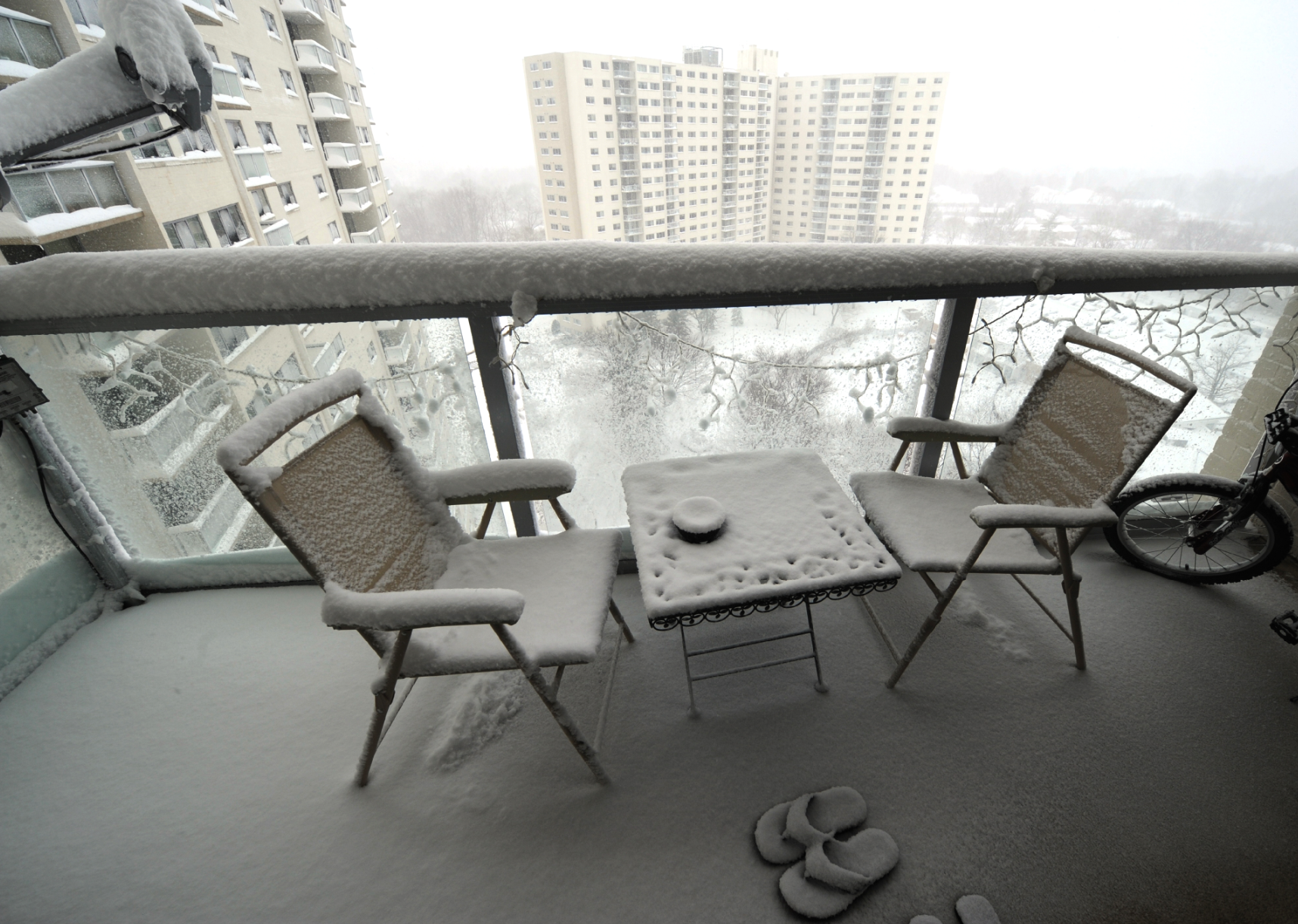
JEWEL SAMAD // Getty Images
2011: Groundhog Day blizzard II
– Average winter temperature: 31.74°F (#31 coldest year; 0.5°F below 100-year average)
– Maximum winter temperature: 42.17°F (#29 coldest year; 0.5°F below 100-year average)
– Minimum winter temperature: 21.31°F (#30 coldest year; 0.4°F below 100-year average)
– Average precipitation: 6.08 in. (#23 driest year; 0.7 inches below 100-year average)
– Record 1-day snowfall: Kern County, California on Mar. 21 (41.0 in.)
Similar to the Groundhog Day blizzard of 1979, this storm took place across the Midwest and Northeast regions of the country. Stretching more than 2,000 miles across 22 states, it was more powerful than its predecessor, with 60-mile-per-hour winds and several tornadoes touching down: 36 people were killed, with the storm causing $2 billion in damage.
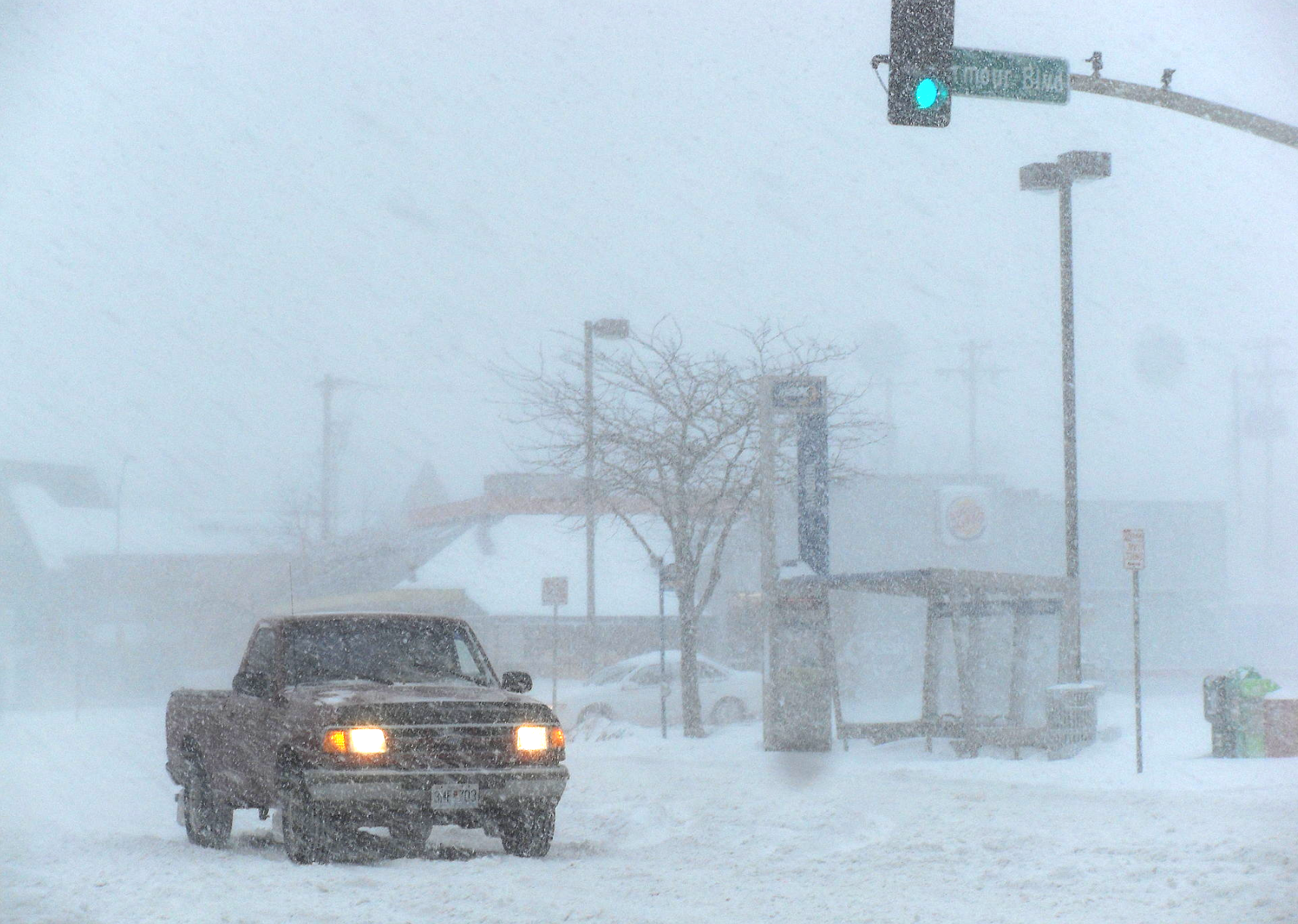
Baylor98 // Wikimedia Commons
2012: A blizzard in the South
– Average winter temperature: 36.34°F (#4 hottest year; 4.1°F above 100-year average)
– Maximum winter temperature: 47.06°F (#3 hottest year; 4.4°F above 100-year average)
– Minimum winter temperature: 25.63°F (#7 hottest year; 3.9°F above 100-year average)
– Average precipitation: 6.2 in. (#30 driest year; 0.6 inches below 100-year average)
– Record 1-day snowfall: Haines Borough, Alaska on Jan. 2 (42.0 in.)
Two months after Hurricane Sandy devastated the Northeastern United States, a major blizzard struck the South, with winds up to 80 miles per hour. Arkansas and Alabama, the most affected states, saw hailstones measuring more than an inch wide. Thousands of people were left without power.
You may also like: The most unionized states
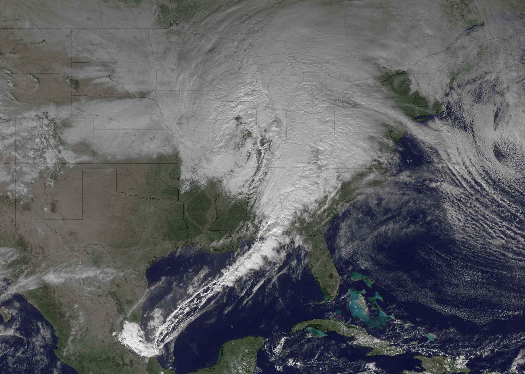
National Oceanic and Atmospheric Administration // Wikimedia Commons
2013: February nor’easter brings a Category 3 storm
– Average winter temperature: 34.31°F (#23 hottest year; 2.1°F above 100-year average)
– Maximum winter temperature: 44.66°F (#22 hottest year; 2.0°F above 100-year average)
– Minimum winter temperature: 23.96°F (#22 hottest year; 2.2°F above 100-year average)
– Average precipitation: 7.27 in. (#27 wettest year; 0.5 inches above 100-year average)
– Record 1-day snowfall: Polk County, Connecticut on Feb. 9 (36.0 in.)
The winter of 2013 brought warmer-than-average temperatures; however, a significant nor’easter led to a Category 3 winter storm in February. The blizzard pounded the Southeast, Northeast, and Mid-Atlantic with snow, wind, and ice. A total of 18 people were killed, three of which were attributed to heart attacks while shoveling snow.
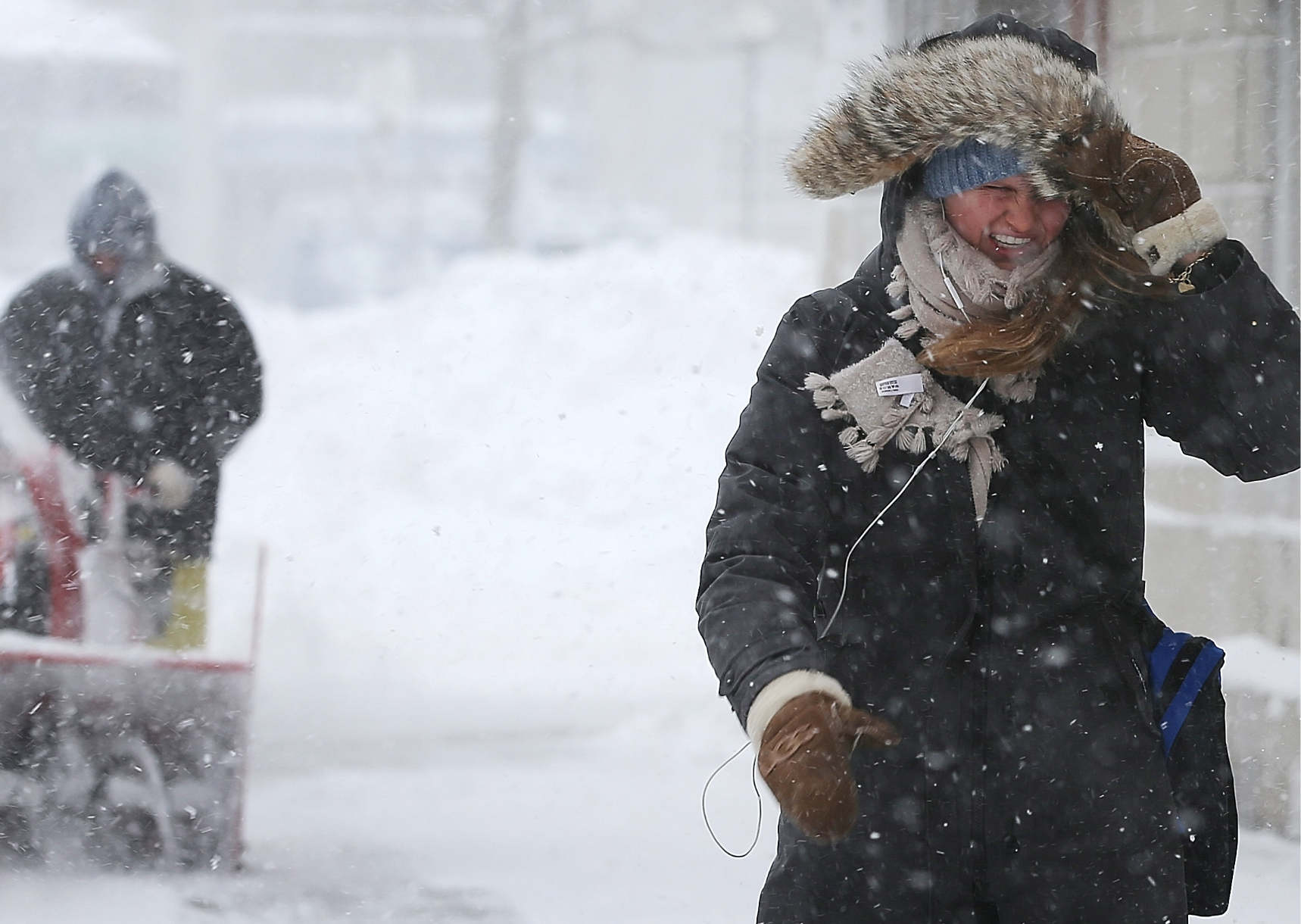
Mario Tama // Getty Images
2014: California floods and Mid-Atlantic blizzards
– Average winter temperature: 31.25°F (#22 coldest year; 1.0°F below 100-year average)
– Maximum winter temperature: 42.33°F (#33 coldest year; 0.4°F below 100-year average)
– Minimum winter temperature: 20.18°F (#11 coldest year; 1.6°F below 100-year average)
– Average precipitation: 5.83 in. (#15 driest year; 1.0 inches below 100-year average)
– Record 1-day snowfall: Pennington County, New York on Nov. 20 (47.5 in.)
The winter of 2014 was another year of giant rainstorms and flash flooding on the West Coast—particularly in California. Other parts of the country, by contrast, saw heavy snow, especially during a January 5-8 blizzard that blanketed most of the Mid-Atlantic. Wind chill sent temperatures plummeting to 60 degrees below zero. The storm caused more than $1 billion in damage, and 16 people lost their lives.
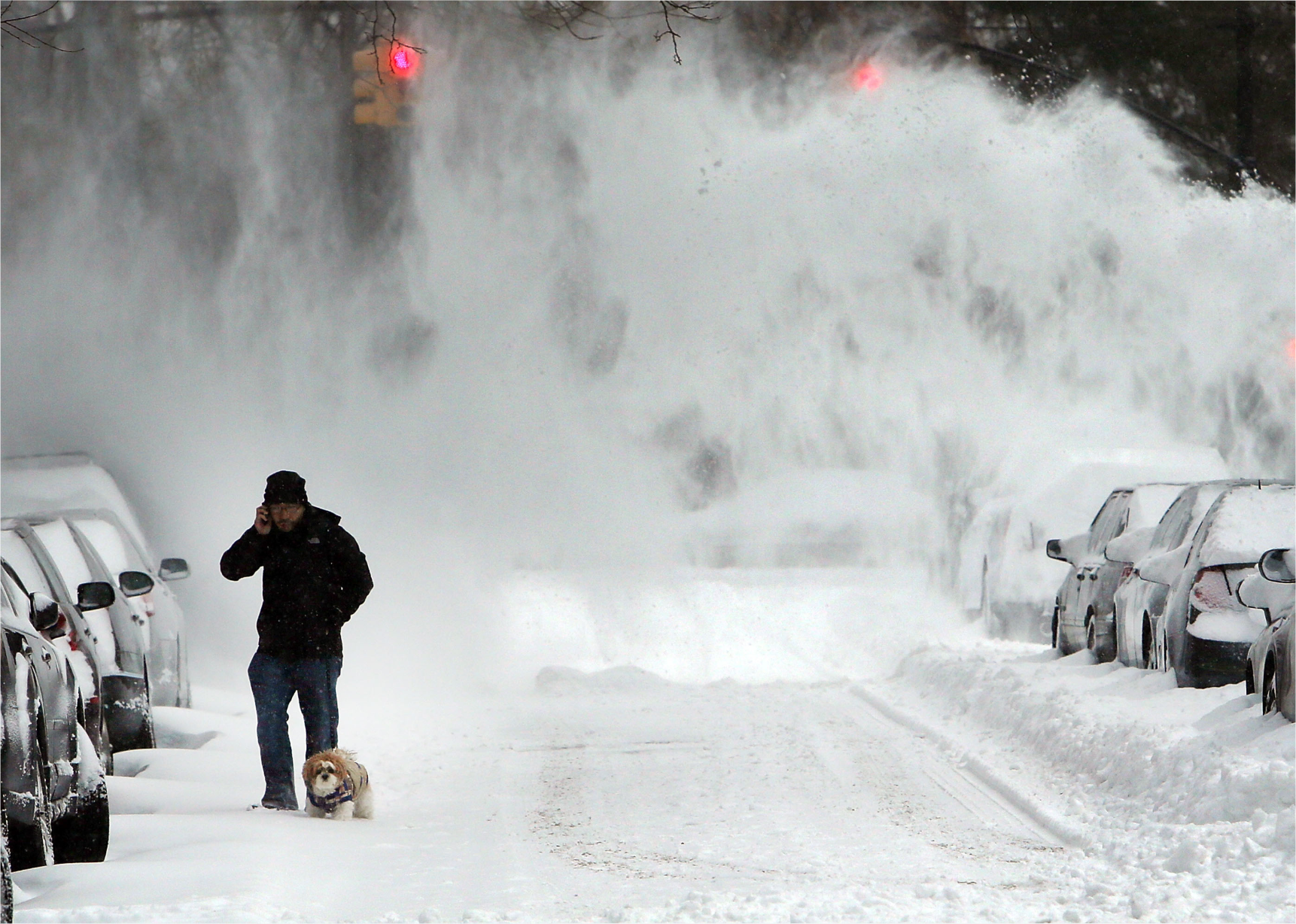
Spencer Platt // Getty Images
2015: A series of blizzards and cold spells
– Average winter temperature: 34.29°F (#24 hottest year; 2.1°F above 100-year average)
– Maximum winter temperature: 44.34°F (#26 hottest year; 1.6°F above 100-year average)
– Minimum winter temperature: 24.24°F (#18 hottest year; 2.5°F above 100-year average)
– Average precipitation: 6.15 in. (#27 driest year; 0.6 inches below 100-year average)
– Record 1-day snowfall: Erie County, Massachusetts on Jan. 27 (31.9 in.)
The winter of 2015 was packed with blizzards and storms, beginning with January’s snow drops over New England. The snow continued through March, when a blizzard and its cold spell broke temperature records as far south as Florida. That said, 2015 was warmer than average in general throughout the country.
Scott Olson // Getty Images
2016: Category 5 storm in the East
– Average winter temperature: 36.78°F (#1 hottest year; 4.6°F above 100-year average)
– Maximum winter temperature: 46.91°F (#4 hottest year; 4.2°F above 100-year average)
– Minimum winter temperature: 26.65°F (#2 hottest year; 4.9°F above 100-year average)
– Average precipitation: 8.03 in. (#12 wettest year; 1.2 inches above 100-year average)
– Record 1-day snowfall: Worcester County, Virginia on Jan. 24 (36.6 in.)
A devastating storm lashed the eastern part of the country with snow and heavy winds on January 22-24, affecting 11 states including New York, New Jersey, Pennsylvania, and Virginia. The Category 5 storm, which ranks as “extreme,” caused at least 55 deaths and injured, stranded, or displaced hundreds more. The total cost of the storm was estimated to be between $500 million and $3 billion.
FRANCOIS XAVIER MARIT // Getty Images
2017: California’s wettest year
– Average winter temperature: 35.9°F (#7 hottest year; 3.7°F above 100-year average)
– Maximum winter temperature: 45.85°F (#14 hottest year; 3.1°F above 100-year average)
– Minimum winter temperature: 25.94°F (#5 hottest year; 4.2°F above 100-year average)
– Average precipitation: 8.21 in. (#8 wettest year; 1.4 inches above 100-year average)
– Record 1-day snowfall: Loudoun County, New York on Mar. 15 (35.2 in.)
In 2017, California experienced intense rains that broke previous records, making it the wettest winter in almost a century. Five people died and the road damage totaled more than $1 million. Later in the winter, a late-season blizzard poured snow over the Northeast, hammering states like New York, Vermont, and New Hampshire.
You may also like: Best places to live in the Midwest
David McNew // Getty Images
2018: North American blizzard in January
– Average winter temperature: 33.99°F (#26 hottest year; 1.8°F above 100-year average)
– Maximum winter temperature: 44.88°F (#20 hottest year; 2.2°F above 100-year average)
– Minimum winter temperature: 23.09°F (#37 hottest year; 1.4°F above 100-year average)
– Average precipitation: 6.32 in. (#33 driest year; 0.5 inches below 100-year average)
– Record 1-day snowfall: Otsego County, New Hampshire on Mar. 14 (28.4 in.)
The Mid-Atlantic once again bore the brunt of a major winter blizzard in January 2018 when those states, along with parts of New England, were battered by heavy winds and intense snowfall. In total, 300,000 residents lost power as a result. The storm—dubbed a “historic bomb cyclone”—caused hundreds of flight cancellations and 22 deaths.
Derek Davis/Portland Press Herald via Getty Images
2019: Storm batters from West to East
– Average winter temperature: 36.43°F (#7 hottest year; 11.5% above 100-year average)
– Maximum winter temperature: 46.08°F (#13 hottest year; 7.8% above 100-year average)
– Minimum winter temperature: 26.78°F (#3 hottest year; 18.5% above 100-year average)
– Average precipitation: 2.57 in. (#42 wettest year; 9.4% above 100-year average)
– Record one-day snowfall: Montgomery County, MO on Jan. 12 (13.4 in.)
What started out as a bomb cyclone in Oregon and California spawned the storm that dropped snow for nearly two days straight in various areas throughout the Northeast. Sections of central and western New England received close to 2 feet of snow. It was one of Albany’s top 10 storms, and the two-phase storm brought an interesting phenomenon to an area north of the Massachusetts Turnpike known as thundersnow.
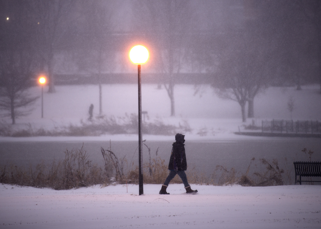
Stephen Maturen // Getty Images
2020: Christmas week storms during a pandemic
– Average winter temperature: 36.05°F (#6 hottest year; 3.8°F above 100-year average)
– Maximum winter temperature: 46.08°F (#11 hottest year; 3.4°F above 100-year average)
– Minimum winter temperature: 26°F (#4 hottest year; 4.3°F above 100-year average)
– Average precipitation: 7.78 in. (#16 wettest year; 1.0 inches above 100-year average)
– Record 1-day snowfall: Tioga County, New York on Dec. 17 (42.5 in.)
The holiday season was already difficult due to the COVID-19 pandemic. The week of Christmas brought several weather events, which conspired to add another level of hardship. Parts of the Plains and upper Midwest saw blizzard conditions, which caused an interstate pileup in South Dakota and the cancellation of more than 400 flights, while the eastern states saw heavy rains and strong winds.
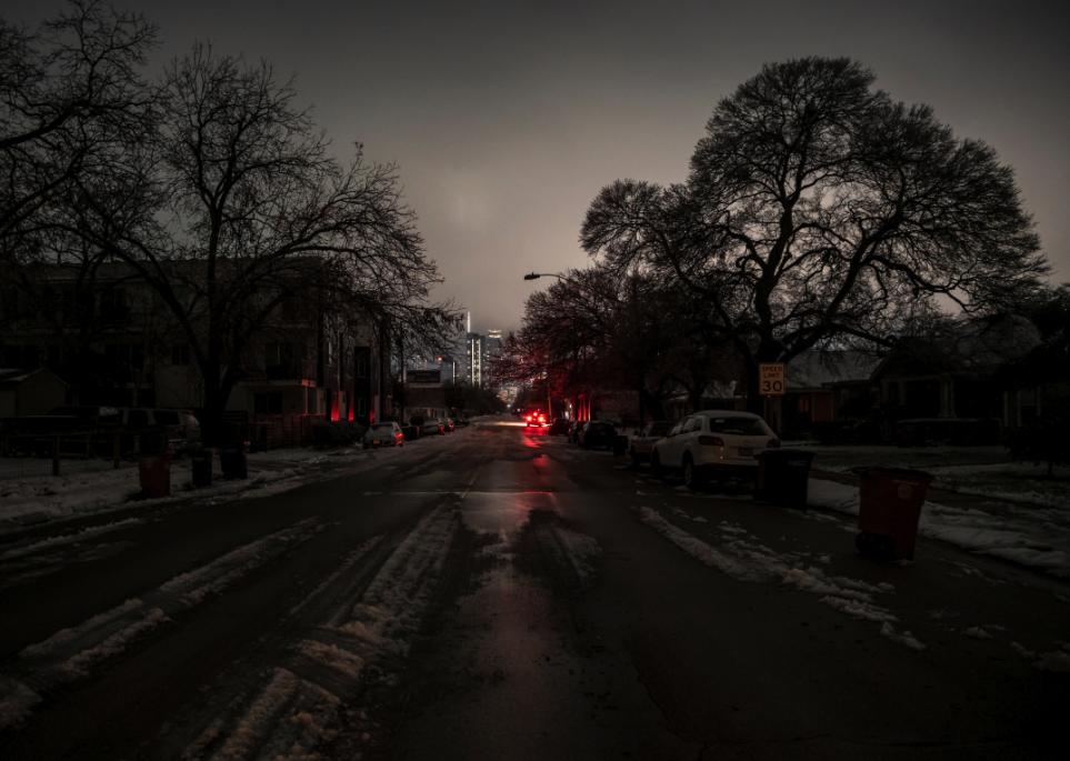
The Washington Post/Contributor 2 via Getty Images
2021: Heavy snow hits Texas
– Average winter temperature: 33.63°F (#30 hottest year; 1.4°F above 100-year average)
– Maximum winter temperature: 43.79°F (#40 hottest year; 1.1°F above 100-year average)
– Minimum winter temperature: 23.47°F (#27 hottest year; 1.7°F above 100-year average)
– Average precipitation: 6.16 in. (#29 driest year; 0.6 inches below 100-year average)
– Record 1-day snowfall: Laramie County, Wyoming on Mar. 17 (40.8 in.)
Winter storms slammed into Texas in February 2021, resulting in an unprecedented amount of snowfall and record low temperatures. The state’s power grid, overwhelmed by demand for heat, ultimately failed, leaving millions without power and 246 people dead, two-thirds of which were due to hypothermia. Other lethal forces included motor accidents due to icy and snowy road conditions, carbon monoxide poisoning (likely from portable generators), and fires.
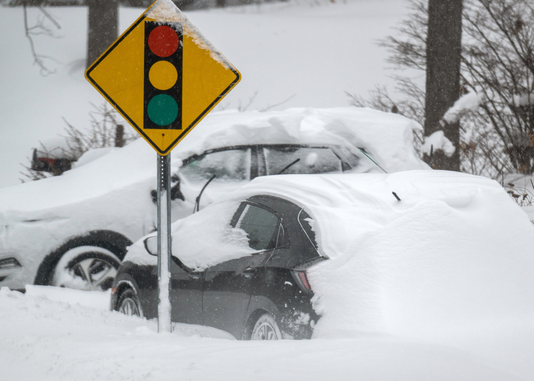
Andrew Theodorakis/Stringer via Getty Images
2022: February winter storm slams more than 12 states
– Average winter temperature: 34.73°F (#18 hottest year; 2.5°F above 100-year average)
– Maximum winter temperature: 46.34°F (#9 hottest year; 3.6°F above 100-year average)
– Minimum winter temperature: 23.13°F (#35 hottest year; 1.4°F above 100-year average)
– Average precipitation: 5.8 in. (#14 driest year; 1.0 inches below 100-year average)
– Record 1-day snowfall: data not yet available
In February 2022, heavy snow and ice surged across much of the Northeast, Midwest, and even Southwest, reaching Texas and New Mexico. Nicknamed “Winter Storm Landon” but not officially designated as a named storm, the front caused many Americans to lose power, including roughly 70,000 Texans, despite promises that the power grid would support future snowy weather after the previous year’s disaster. Heavy ice and over a foot of snowfall in parts of the Northeast caused power outages and hazardous road conditions as the weight of ice caused trees to fall.