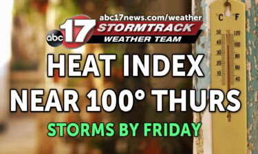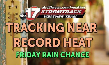
Tracking strong storms Friday that bring a break from the heat
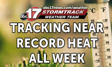
TODAY: Another copy and paste forecast is in store today, with more hot and humid weather expected Thursday. Highs will reach low 90s again with sunny skies and a consistent southerly breeze. It may feel more like upper 90s with the added humidity. TONIGHT: Despite clouds to our west inching closer, most will stay mostly
Continue Reading