Weather Alert Day: Severe weather threat coming to an end
The storms that prompted the ABC 17 Stormtrack Weather Alert Day have exited and moved east out of Mid-Missouri, but strong winds hang around throughout the afternoon and evening.
So far, the main damage reports from the morning have come from the Pilot Grove area, where a radar confirmed tornado went through around 9:00 a.m.

BLOG:
Strong winds continue to pull in from the south, drawing in more warm, moist air to the region. To our west, another strong low pressure system is poised to take shape over the Plains, with a cold front moving through to our east by this afternoon.
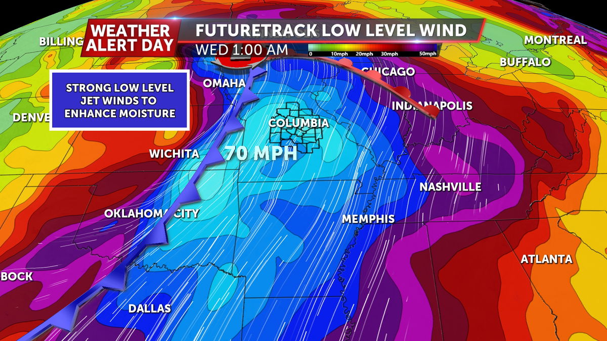
Low level winds ramp up tonight ahead of the front, increasing moisture and wind shear over the area. However, most of the instability will be elevated, meaning the tornado threat will be lower due to the lack of energy near the ground. The main concern overnight will be large hail in excess of quarter size and a few isolated damaging wind gusts.

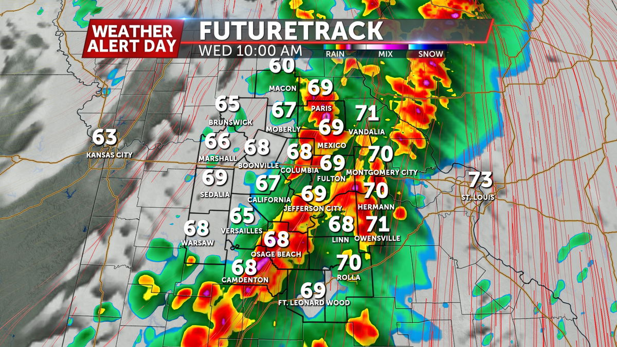
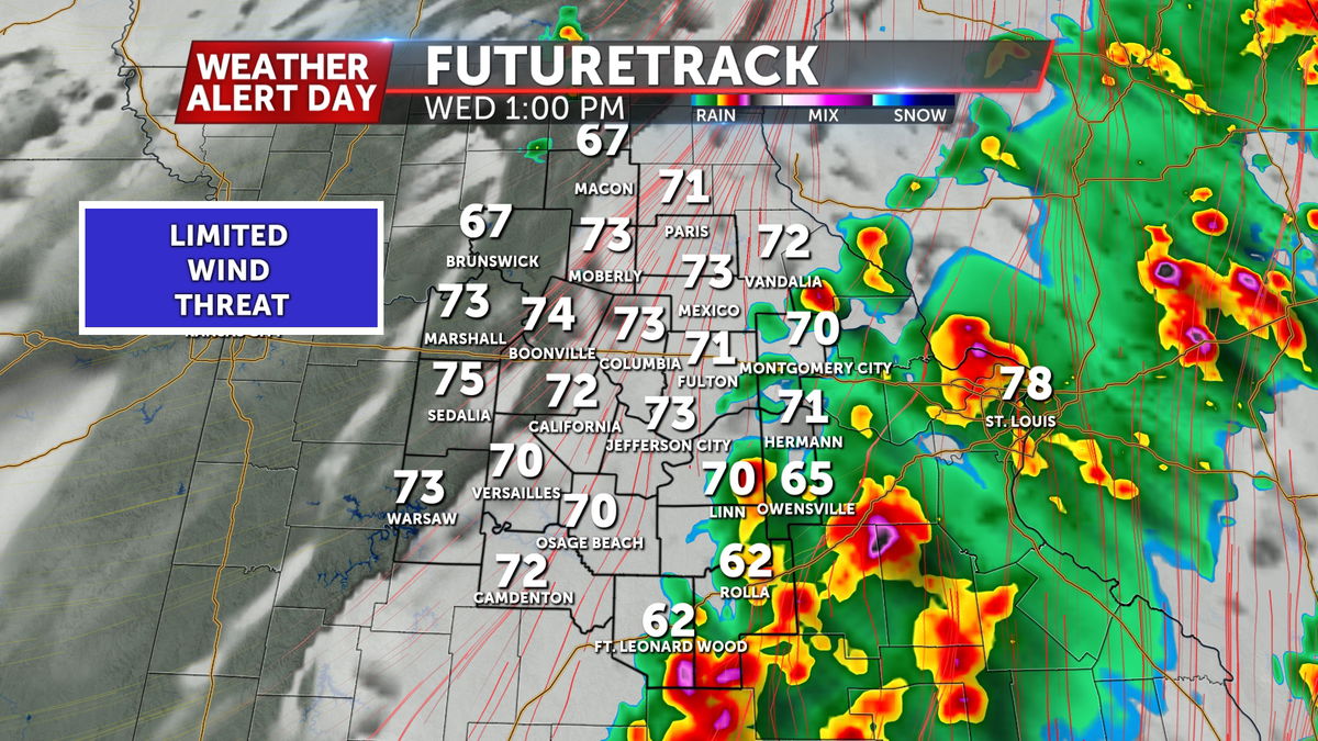
Surface instability rapidly increases ahead of the cold front this morning, creating a more ripe environment for severe storms on Wednesday depending on the location of the cold front. The setup will be similar to what we saw early on Sunday, with the best chances of severe weather east of the front.
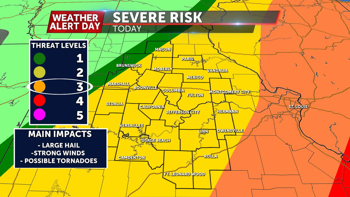
The Storm Prediction Center already has a level 2 out of 5 severe risk for locations along and west of Highway 54 for the hail and wind threat late Tuesday into Wednesday morning, and a level 2 out of 5 for areas along and east of Highway 54 for Wednesday into Wednesday night.
All severe hazards will be possible on Wednesday with more surface instability available, so there is potential for 1"- 2" diameter hail, 60-70 mph winds, and a few tornadoes through early Wednesday evening.
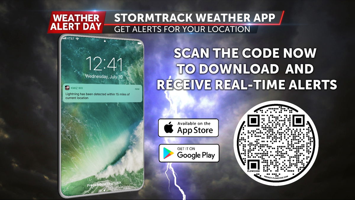
Make sure to have a way to receive alerts overnight Tuesday into Wednesday. The ABC 17 Stormtrack Weather app will send notifications if a warning is issued or if lightning is detected in your area.