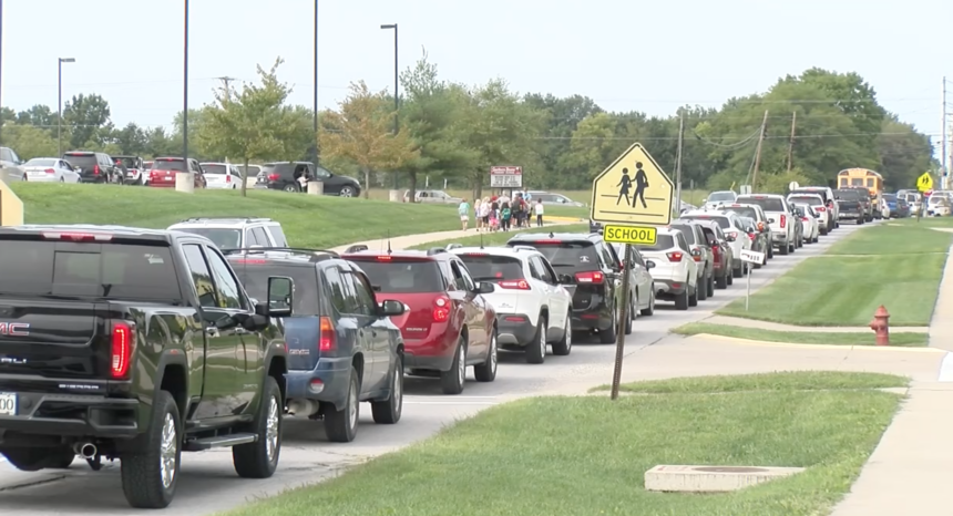
Southern Boone analyzes traffic congestion around school buildings

ASHLAND, Mo. (KMIZ)
The Southern Boone School District analyzed traffic congestion data with help from the Ashland Police Department on Tuesday.
The data was gathered from a drone flyover earlier this month to get a birds eye view of traffic flow.
The traffic congestion occurs near E. Liberty Lane at S. Henry Clay Boulevard where Southern Boone Primary School and Southern Boone Elementary are located; and near N. Main Street at West Broadway, where Southern Boone Middle School and Southern Boone High School are located.
Southern Boone School District Superintendent Chris Felmlee said the main congestion occurs near the primary and elementary school.
Felmlee said the school district's partnership with the police department has identified ways to keep traffic moving smoothly.
“We really identified the bottleneck areas and opportunities to try and keep the traffic flowing,” Felmlee said. “And utilize the different parking lots to get more people off of the street and onto the campus.”
He said the district has implemented new changes to keep traffic flowing.
“We are coordinating additional crossing guards to accommodate for our pedestrians, as well as, to assist with moving traffic along,” Felmlee said.
The superintendent said the district is having parents use additional parking at the primary school to move cars off the street.
Felmlee said it’s always going to be a little slow because of the volume of people picking up and dropping off students, but that things are moving in the right direction.
“We’re trying new things and people are starting to find their routine,” Felmlee said. “Things are moving much better.”