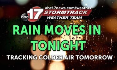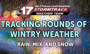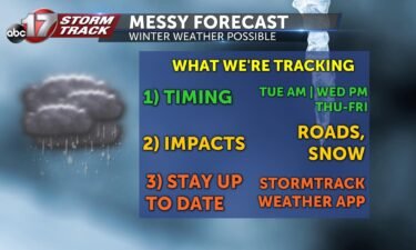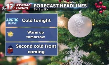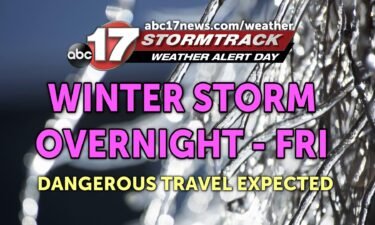
Tracking significant impacts into Friday with wintry mix moving in
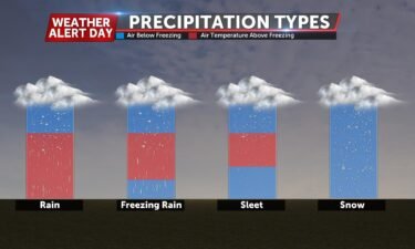
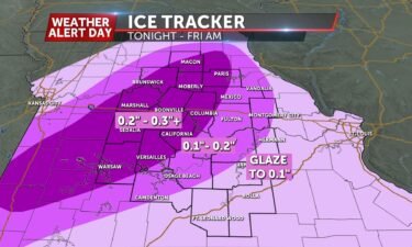
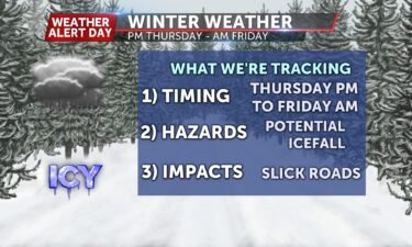
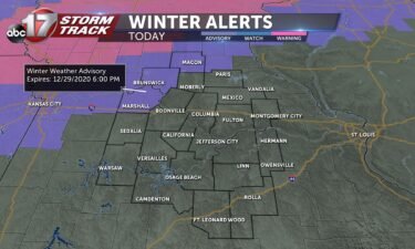
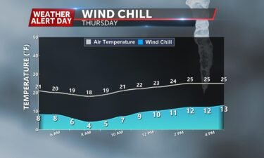
*A Weather Alert Day is in effect through Friday afternoon for the threat of dangerous road conditions and power outages due to ice accumulation* TONIGHT: Cloudy with temperatures hovering below freezing. Precipitation moves in late, likely after midnight for most areas. Freezing rain continues overnight into Friday morning, causing slick roads and potential power outages.
Continue Reading