Tracking a return to warmth and Christmas rain chances
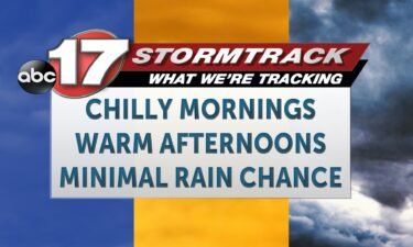
TODAY: It’s a bitterly cold start today, with temperatures starting in the teens for most. This is the coldest we get this week, as we’re on the cusp of a warmup. Winds are calm near high pressure this morning, but the will increase from the south through the morning, leaving us warmer this afternoon. We’ll
Continue Reading