THE SCIENCE BEHIND: “Donut holes” on radar this morning
A meteorologist's biggest fear when forecasting snowfall can be the effects that dry air can have on evaporating snowflakes before they reach the ground.
Today, at least initially, dry surface air slowed down the progression of snowfall. Eventually, snowfall broke through the thin, dry surface layer and fell at a pretty good clip for about an hour.
Here's what the radar looked like at 10 am ... a very large circle of nothing, surrounded by snow, moving from west to east.
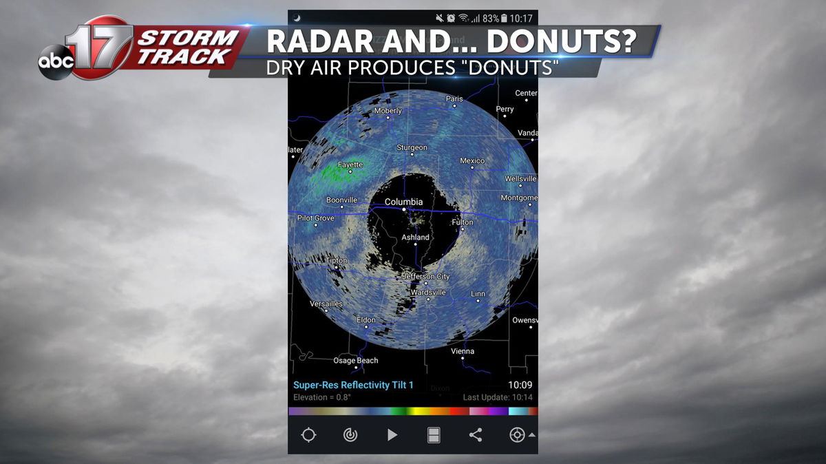
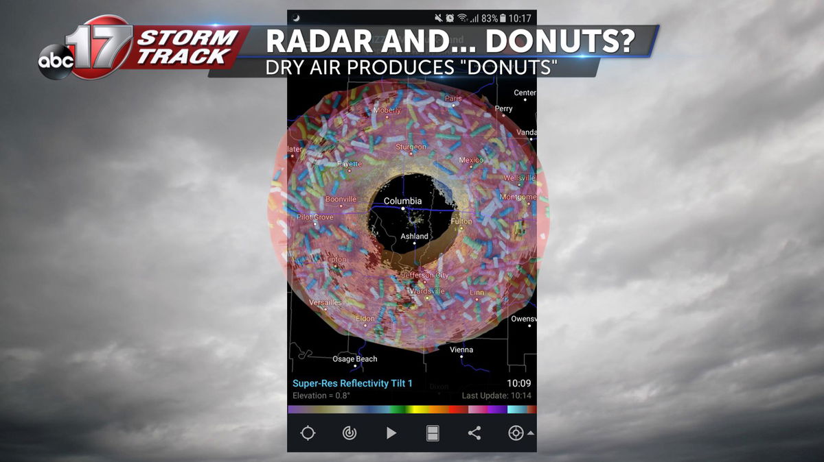
In the meteorological world, we refer to this radar phenomenon as a "donut hole." Not very professional, I know, but sometimes we like to have fun. This is actually something that's very common, especially in the winter, when dry air can get trapped close to the earth's surface.
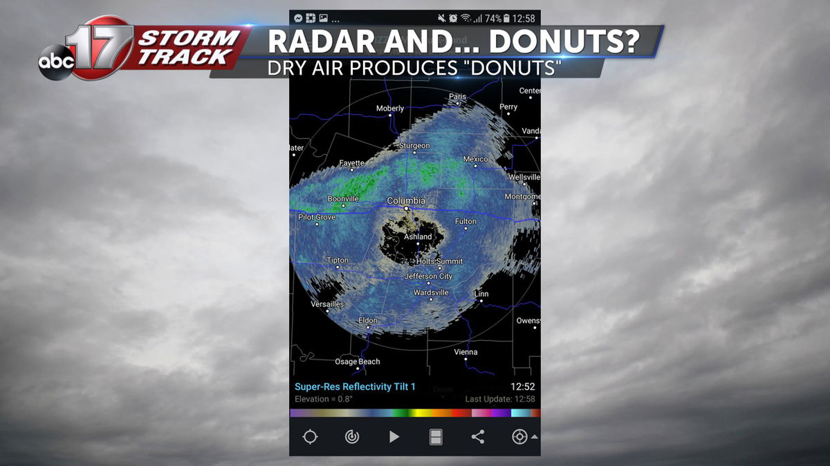
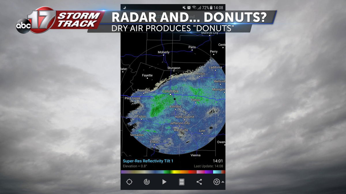
This is how the radar progressed through the afternoon -- by 2 p.m., widespread snow had started reaching the surface, filling in the "void" that had been on the radar just a few hours prior.
So what causes this to happen?
Well, first, we need an understanding of how radar works. Under the dome, a radar dish, like one you see in the movies or at an Air Force base, is spinning in all directions, sending out signals which rise UP and OUT into the atmosphere.
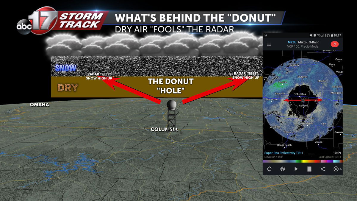
If the signal hits an object, such as a snowflake or raindrop, it will come back, causing the radar to light up. If the beam runs into dry air, it won't return any data.
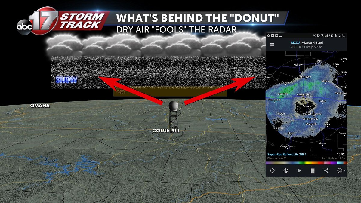
The dry layer just above the radar causes this "void" to appear. With this morning's case, about 15 miles in all directions with nothing.
Eventually, the beam "found" the snow way high up in the atmosphere and started sending data back.
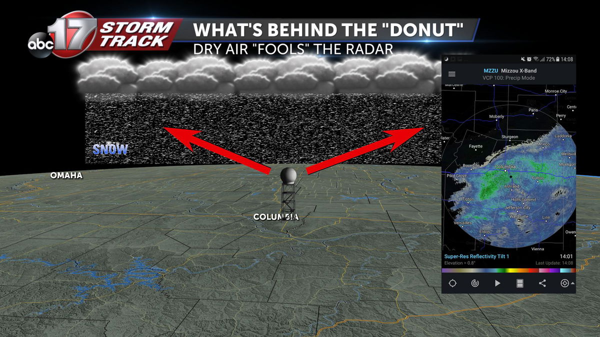
As the snow continued to fall, it ate away at the dry layer, allowing snow to fall closer and closer to the radar site, eventually to the ground.
-Luke
