Insider Blog: Why it feels more like spring and how we got here
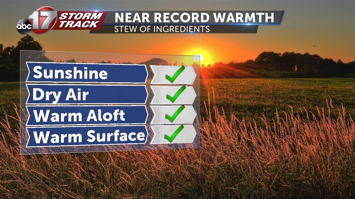
There's a stew of factors that are contributing to Thursday's near-record warmth.
Ingredients in this warm up consist of abundant sunshine heating the surface, dry air allowing for a quick warm up, support aloft, and existing above average temperatures.
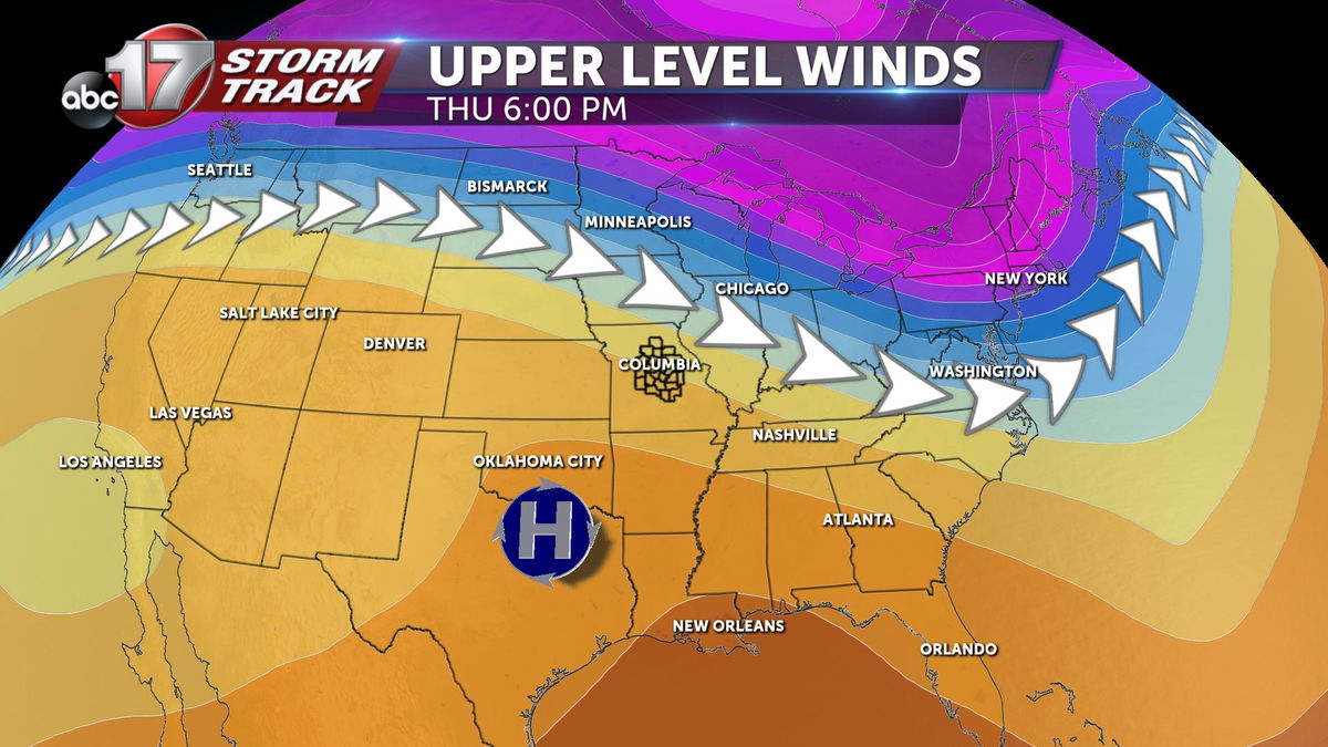
We've been on the south side of the jet stream for some time now, allowing for temperatures to generally remain above average. Early Thursday, ridge of high pressure aloft pushed closer to the region providing even more support for clear and warm conditions.
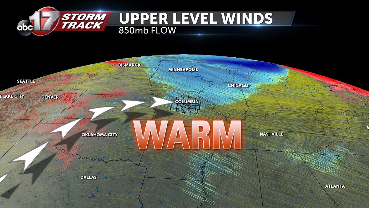
Lower in the atmosphere, but still just above the surface, the layer of the atmosphere often responsible for the transport of warm or cool air was funneling in warm air out of the southwest early Thursday.
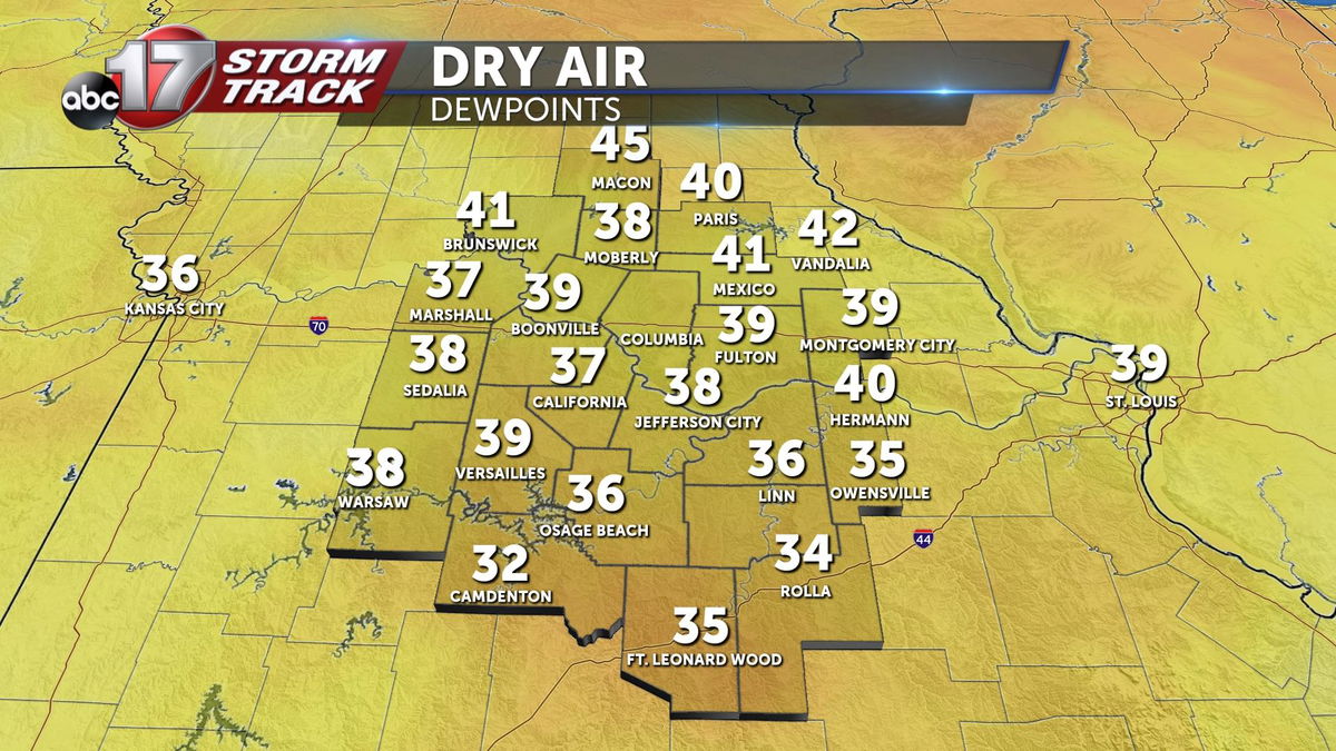
At the surface, dew points were about 30 degrees cooler than the temperature, meaning not much moisture was in the air.
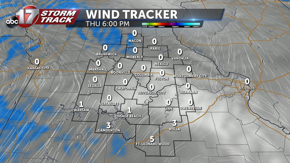
In addition, surface winds Thursday started out of the west-southwest. This was until a cold front passed and turned winds more northerly and keeping many from record BREAKING warmth.
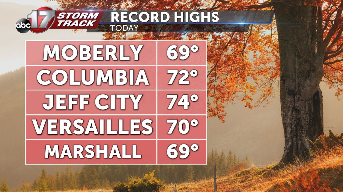
Still, many came close to setting new records on this abnormally warm day in early December.
