Weather Alert Day: Severe threat has ended
UPDATES:
Tuesday Morning Update:
The leading edge of storms has cleared mid-Missouri, and so our severe threat has come to an end. Some minor flooding may continue through the early morning.


Monday Evening Update:

A Tornado Watch is in effect until 4:00 a.m. for counties in yellow above, west of Highway 63.
Severe thunderstorms continue to move east across far eastern Kansas and Oklahoma late this evening. Storms have formed into a line that is producing damaging wind gusts that will progress east overnight. We'll also be watching the leading edge of the line of storms for the potential of a spin-up tornado. Be sure to have a way to receive alerts that will wake you up tonight. Power outages and tree damage are likely with this line of storms that could bring 60-80 mph winds.


Timing will be overnight, from 10 p.m. to 4 a.m. across the region.

BLOG:
The ABC 17 Stormtrack Weather Alert Team has issued a Weather Alert Day for the risk of severe storms Monday night into Tuesday. High winds and a few tornadoes are possible with a heavy line of storms tracking in overnight.

SETUP

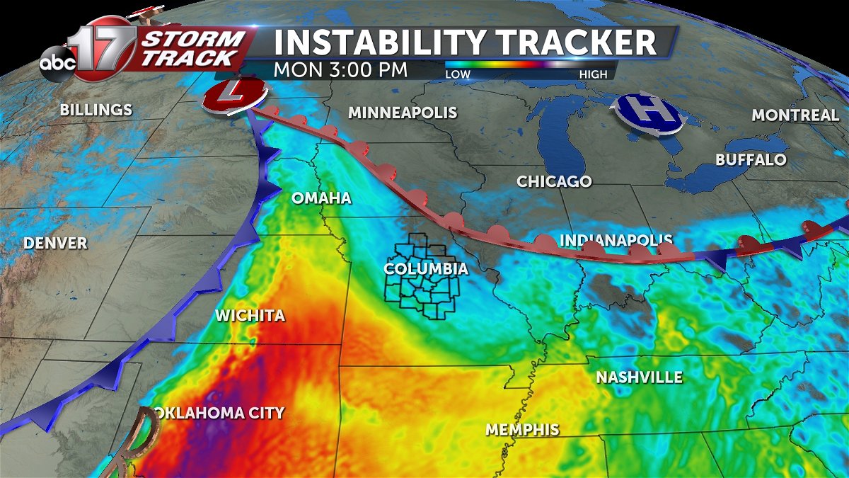
A strong upper-level system will be tracking onto the Plains early this week, pushing a warm front through Mid-Missouri on Monday. This will steadily increase instability through the day, but the local environment is expected to stay relatively quiet until Monday night. The best severe setup is west of our area, and storms that form across Kansas will track into our area from west to east late Monday evening.
TIMING
Monday remains dry until the late evening, and storms may not arrive until closer to midnight. Severe storms will be possible into the early morning hours of Tuesday lasting until sunrise. The strongest storms on the leading edge may produce damaging winds and a few tornadoes.
IMPACTS:

Hail is not expected to be a factor with these storms Monday night, while winds will be more of a concern. Damaging wind gusts up to 60-80 mph are possible and the wind field suggests possible tornadoes embedded within the line of storms.


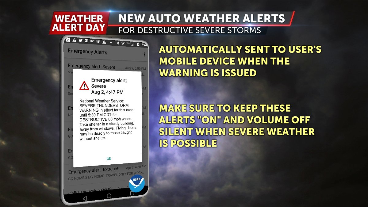
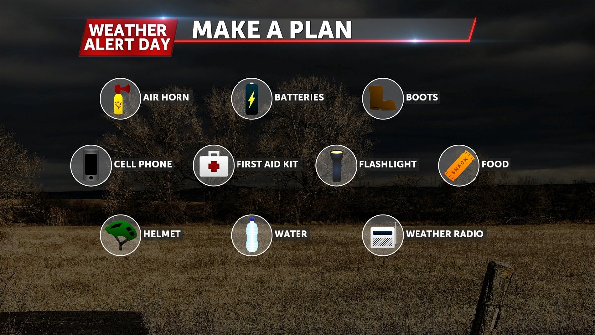
It's imperative to have multiple ways to receive warning information overnight. Make sure to have emergency alerts turned on your phone, and download the ABC 17 Stormtrack Weather App to get those notifications as warnings are issued. A NOAA weather radio is a great resource to wake you up overnight. Prep your severe weather kit now. At the very least, have a flash light, sturdy shoes, and vital medications nearby to grab on your way to shelter.

