Tracking Canadian wildfire smoke over Mid-Missouri

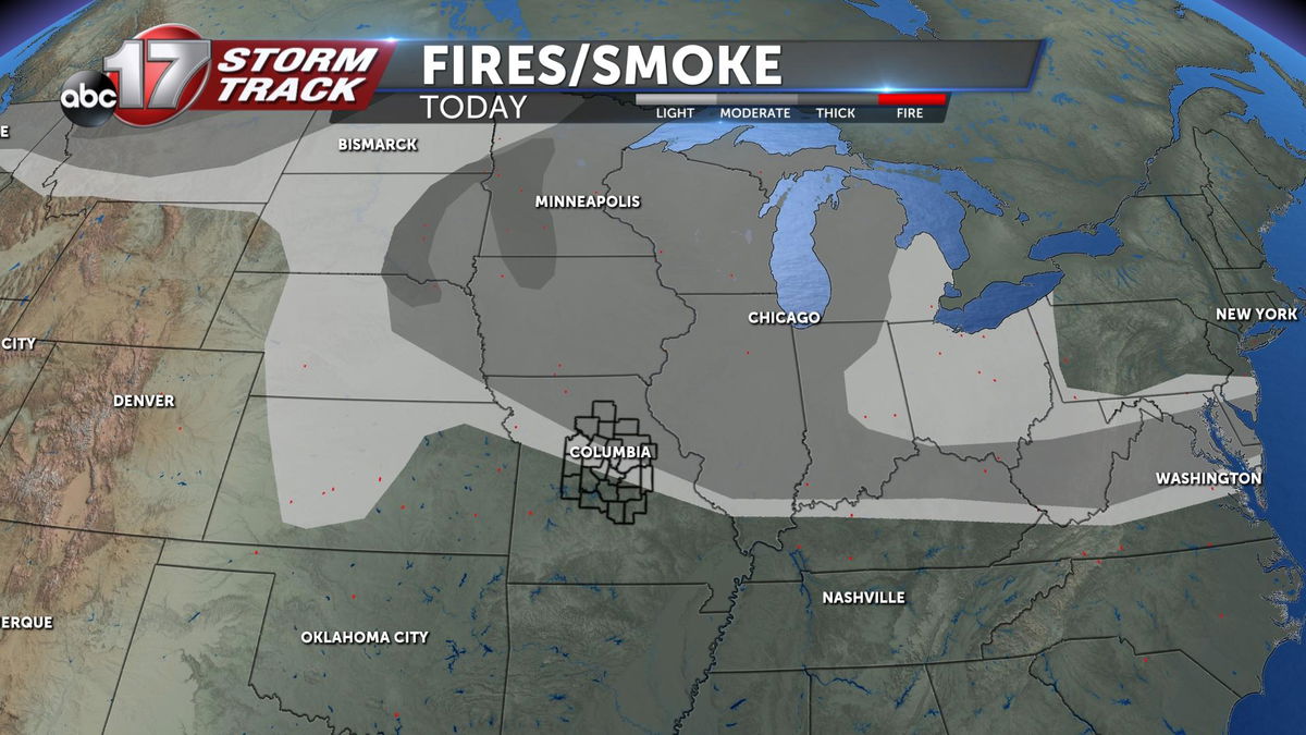
Many people across Mid-Missouri looked to the skies today and noticed a white haze. This white haze was not upper-level clouds, but smoke carried by upper-level winds from wildfires in Western Canada.

Wildfires have burned around 1, 800 square miles in Alberta, British Columbia, and Saskatchewan Canada. This is ten times larger than what is seen for this time of the year in the region. Many of these fires are expected to grow in size in the coming days. These areas along with a few northern US States have seen decreased air quality to poor conditions.

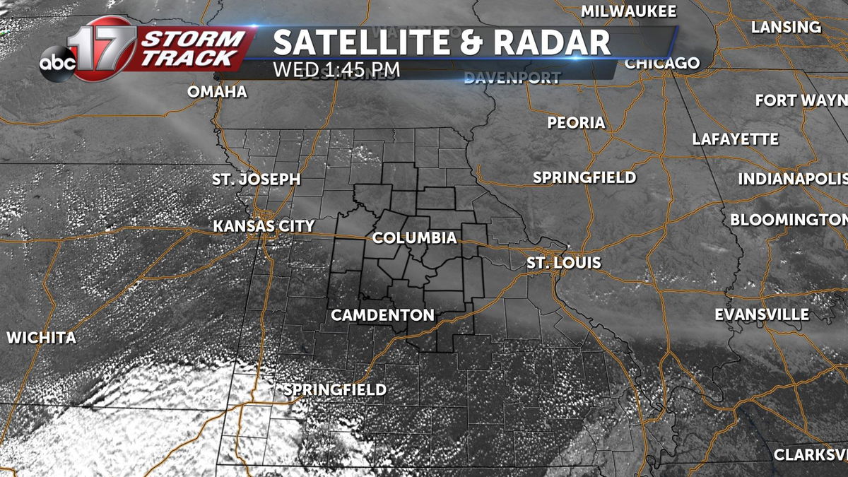
Here in Central Missouri, our air quality remains green and seemingly unaffected by this smoke. Although we are breathing clean air, a white hue has been cast across the sky. This band of smoke can be seen on satellite imagery spanning from St. Joesph all the way down just south of St. Louis. The scattering of light is what gives way to the white color seen in the early afternoon hours.

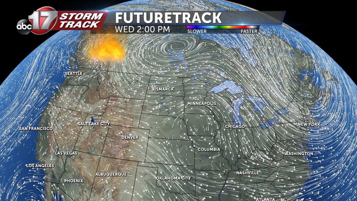
When taking a look at the upper-level winds, a high pressure system parked just the northwest of Mid-Missouri is moving clock-wise helping the smoke travel from the northwest to us here in Columbia.
