WINTER WEATHER UPDATES: Snow contributes to Randolph County injury crash

COLUMBIA, Mo. (KMIZ)
UPDATE 11 A.M.: A snow-covered road contributed to a Randolph County crash that gave one woman serious injuries.
The crash happened just before 8 a.m. on Route M a mile east of Moberly. A pickup truck driven by Conar Maylee, 23, of Moberly, lost control because of the snow-covered road, left the road, hit a tree and landed in a creek, the Missouri State Highway Patrol said.
A woman riding in the truck, Maya Stilwell, 22, of Moberly, suffered serious injuries and was taken by ambulance to Boone Hospital.
The patrol says Maylee and Stilwell were not wearing seat belts. Maylee had minor injuries and sought his own treatment.
As of about 8 a.m. the patrol's Troop F had reported calls for 13 stranded drivers, nine non-injury crashes and one injury crash.
Since midnight, Troop F has responded to 43 calls for service. Troopers have assisted 13 stranded motorists, investigated 9 non-injury crashes and 1 injury crash.
— MSHP Troop F (@MSHPTrooperF) January 25, 2023
Please be safe this morning and use caution if heading out. pic.twitter.com/9KpkuxkuGd
UPDATE 8 A.M.: Authorities in Boone County began reporting crashes after sunrise as people started driving to work.
Boone County Joint Communications warned a little before 8 a.m. of crashes on Route N at Highway 63, East Pointe Drive and Bluff Creek Boulevard and on Highway 40.
The Boone County Fire Protection District warned of slick roads, saying firefighters were sent to several crashes.
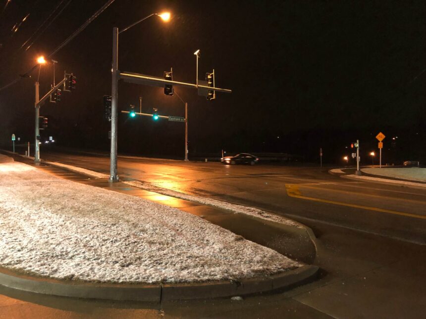
MoDOT's travel information map continued to show major highways clear or partly covered around Mid-Missouri. The National Weather Service said warming temperatures will lead to snow melting quickly.
ORIGINAL: The Missouri Department of Transportation's traveler information map showed some state highways becoming covered in snow at about 5 a.m.
Large sections of Interstate 70, Highway 63 and a few other major Mid-Missouri highways remained clear but some were starting to become snow-covered surrounding the Columbia and Jefferson City areas.
Few major crashes had been reported by 5 a.m.
The largest totals were expected in the southern part of the region. Britt Smith with Jefferson City Public Works said smaller snowfall totals coupled with warmer temperatures have made the response simpler than it would have been. Smith said he expected no problems.
Bryan Boyce with Cole County Public Works said crews started to see a dusting of snow on elevated surfaces around 2 a.m. The biggest challenge with this storm is that the snow is wet and heavy, he said.
Several schools and community organizations had canceled or closed Wednesday because of the weather. Many of them made decisions to close Tuesday night.
The National Weather Service on Wednesday morning said about another inch of snow could be expected in Columbia and the surrounding area. Up to 3 more inches could fall farther south.
Temperatures were dropping to around the freezing mark at about 5 a.m. but were expected to climb above freezing later in the day.