Unseasonable snowstorm hits Denver
While it's storming and mid-80's here in Central Missouri, it's snowing and into the lower 30's along the Rocky Mountains in Denver, Colorado. Large snowflakes began falling around 3 a.m. just to the west of Denver on Friday. From then on, rain began to slowly switch to snowfall finally approaching the eastern downslope of the Rockies. Friday afternoon, snow began to stick in downtown Denver.
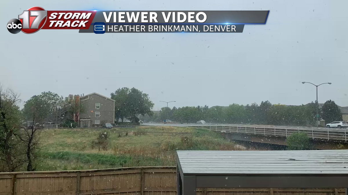
Viewer Heather Brinkmann, out of Denver, captured a time-lapse of large snowflakes switching over from rain Friday afternoon.
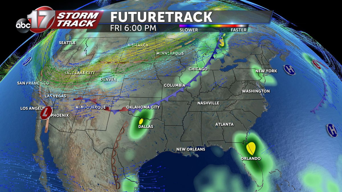
The low-pressure system and cold front currently draped from the Great Lake region down toward the Texas Panhandle is one of the main driving forces behind the unseasonable snowstorm in Colorado. A combination of lower-level winds out of the southwest transporting moisture and upper-level winds out of the northwest bringing cooler air leads to the perfect ingredients for a late May snowstorm.
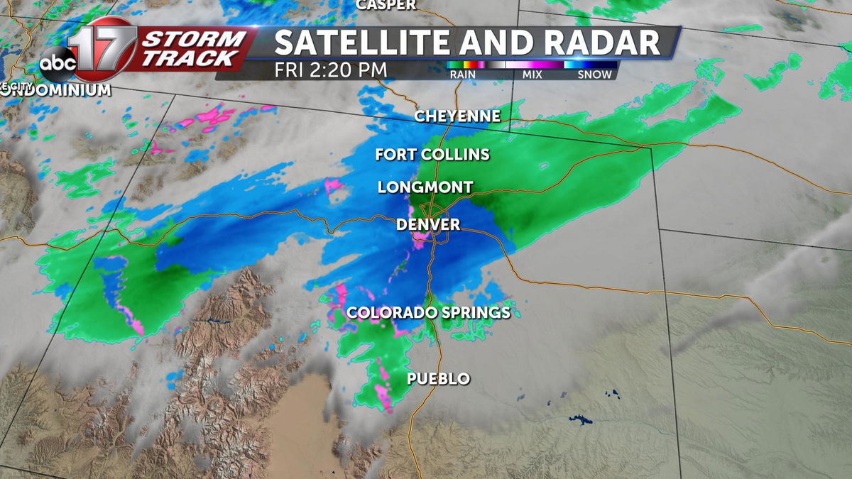
Current analysis of the snowstorm shows that areas east of Denver are experiencing showers as temperatures are yet to fall below freezing in the upper atmosphere.
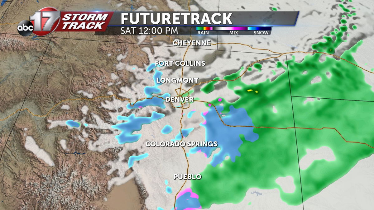
Snowfall is expected to increase Friday night lasting throughout the morning on Saturday. By Saturday afternoon, the drier northerly flowing winds will cut off moisture from the southwest leading to dissipating snowfall. This system then pushes east and continues to bring increased rainfall totals toward the Midwest starting next week.
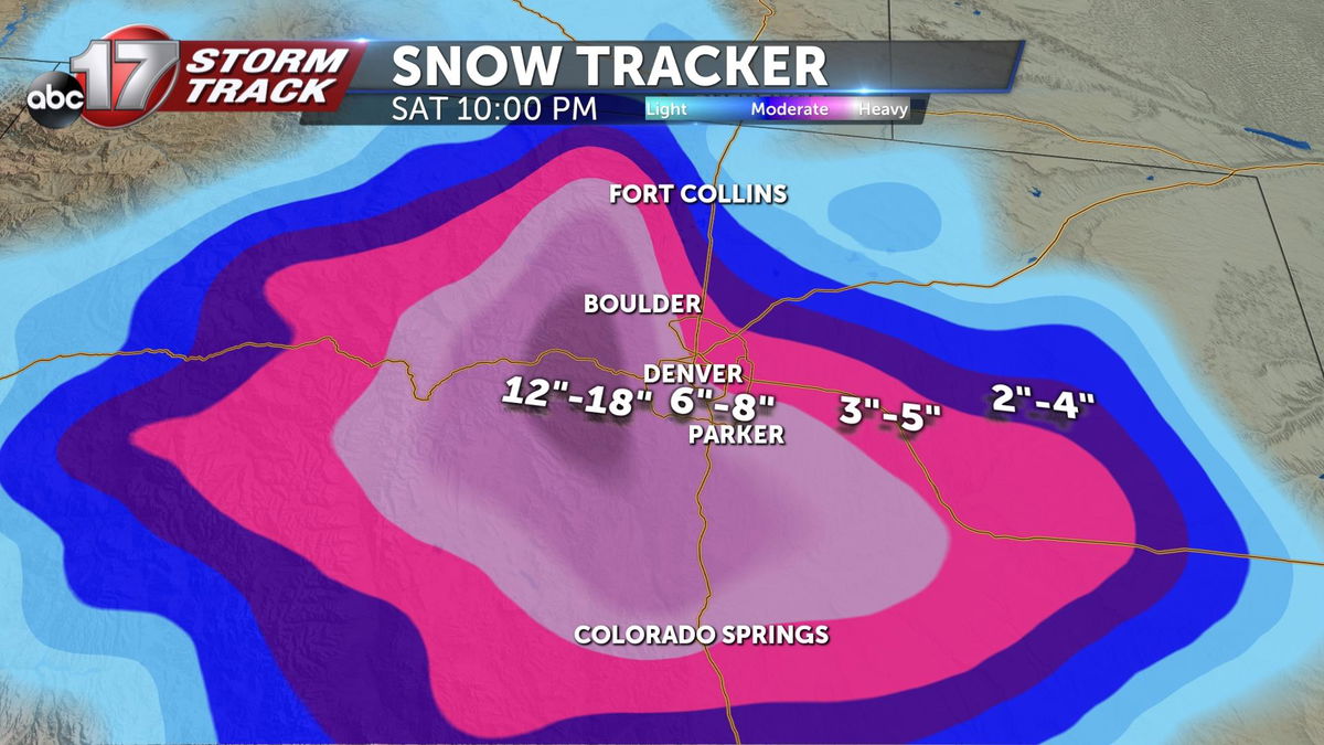
Current model guidance shows areas just to the west of Denver towards the Rockies seeing the greatest snowfall accumulations surpassing one foot. Denver Colorado is looking at 6"-8" and areas further to the east will see totals quickly fall off.
