Insider Blog: Why you didn’t see last night’s freezing drizzle on radar
If you were out late last night, you probably noticed one of two things. Either a little bit of light drizzle, or maybe even some snow, but there is one problem with this, much of it didn't show up on radar.

Here's a look at a radar loop from last night.
Some snow showing up to our west and then it disappears over much of mid-Missouri.
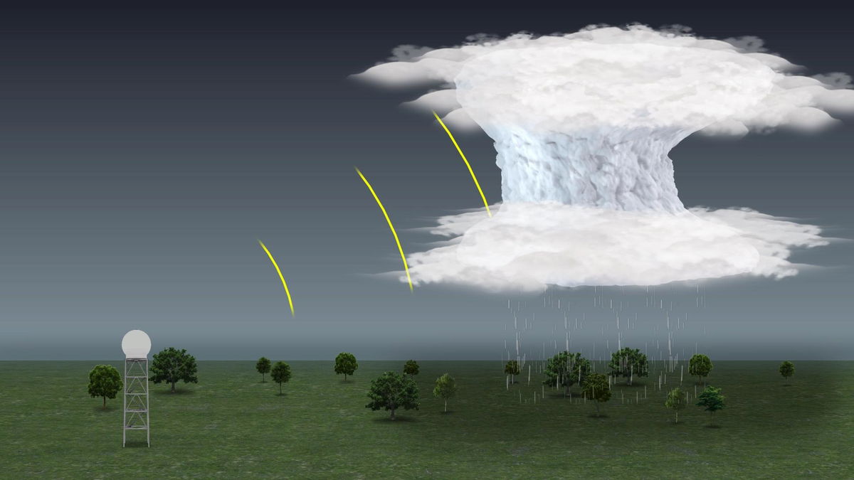
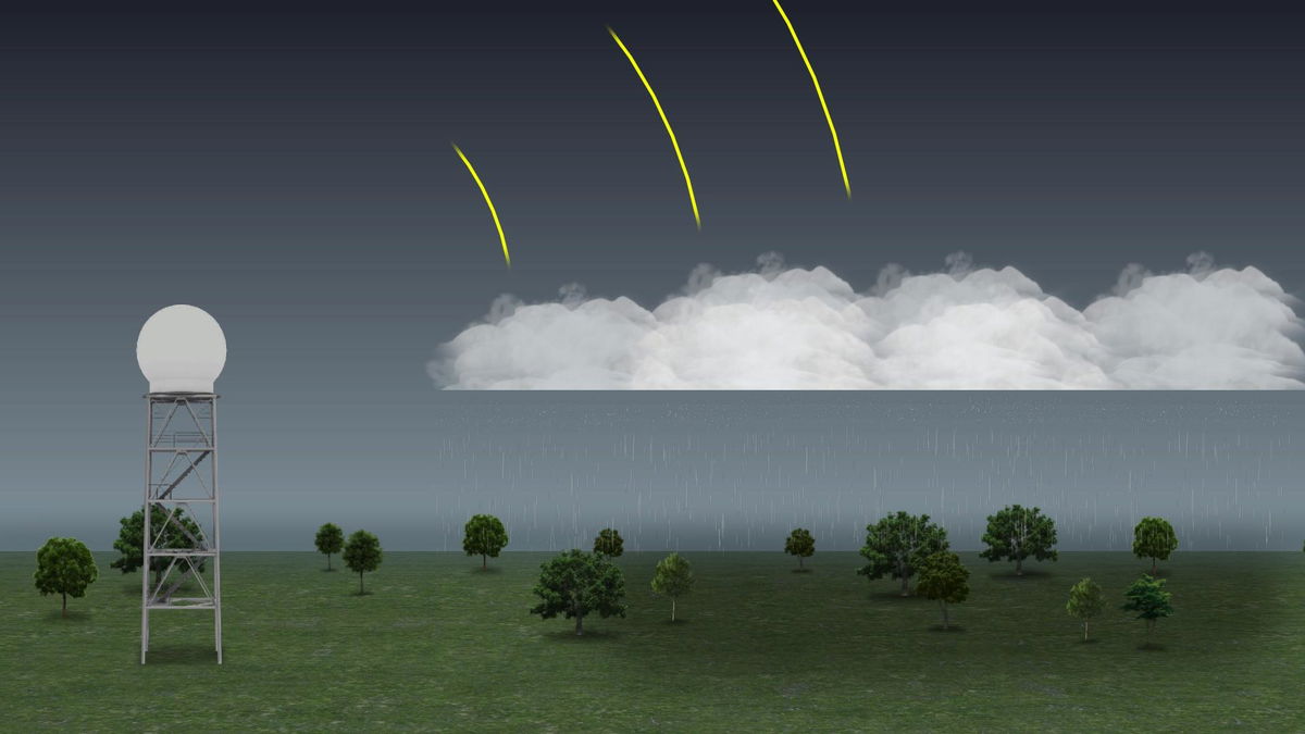
This is partly because of how far we are from the nearest radar. There's one in Kansas City and there's one in St. Louis which is the closest at about 90 miles from Boone County. That distance is partly why we didn't see anything on radar, since the beam climbs higher in the atmosphere the further it gets.

The radar will send out beams and reflect off of different things in the atmosphere. Sometimes it's rain, sometimes it's hail, it could be snow flakes. This return is computed and displayed as what we know as the radar images we're used to.

Yesterday, we had a layer of low stratus clouds generally lying below where the radar beam would typically strike even if we were near a radar. This was compounded by the fact that mid-Missouri is so far from the nearest tower. These clouds are hiding below the radar, and producing freezing drizzle and snow.
Because it wasn't being picked up on radar, a lot of folks weren't aware that it was there until it came down and made even treated pavement slippery and treacherous.
