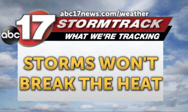
Tracking a few storms, dangerous heat most of this week
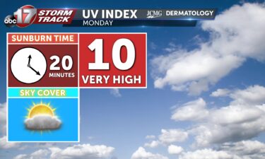
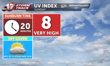
TONIGHT: Mostly clear with a few storms, especially east of Highway 63. Lows in the lower 70s. TOMORROW: Mostly sunny with morning showers diminishing. Becoming hot and humid with highs in the low 90s and a heat index around 105. EXTENDED: Upper high pressure will bring brutal heat to Mid-Missouri for much of the week,
Continue Reading