WEATHER ALERT DAY: Storms may produce damaging wind, hail, and tornadoes Friday night
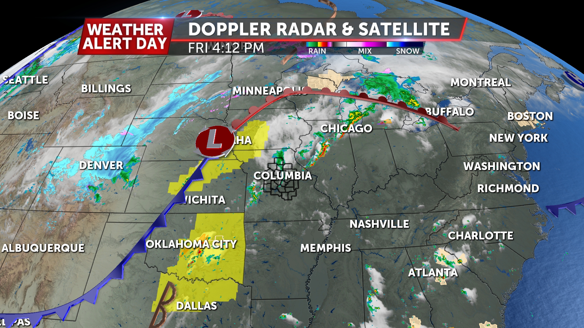
An ABC17 Stormtrack Weather Alert Day is in effect for expected severe thunderstorms on Friday evening through the overnight. All types of severe weather are possible. A Tornado Watch is in effect until 1:00 a.m. for Camden, Miller, Morgan, Benton, Pettis, Cooper, and Saline counties. Howard, Randolph, Chariton, and Macon counties are in a watch until 4:00 AM.

SETUP:

An upper-level trough of low pressure is forecast to deepen across the intermountain west late this week, driving moist and warm flow in our direction, as well as a shortwave trough that ejects and swings our way by Friday.
At the surface, this will drive a warm front well into the northern plains and the Great Lakes. The surface low pressure attached to this will drag a cold front our direction by Friday night. Ahead of this, the warm sector will build moisture and instability across the region.
The approaching wave and upper jet will also foster deep-layer wind shear. These features will promote potential for all types of severe weather.
TIMING:
Between 6 p.m. and 9 p.m., we have a chance for storms to develop again. Anything in this window will bring potential for all types of severe weather, but confidence is not high in these storms becoming severe, with some uncertainty in instability due to morning rain and clouds.
Our main round will be a chance for storms later in the night along and ahead of a cold front that will provide enough lift for storms to develop well to our west. As these storms spread east towards mid-Missouri, we are concerned a severe risk may carry well into mid-Missouri, if not through the region. Our main threat with this line will be damaging wind, but there is a lesser threat for tornadoes and hail.
IMPACTS:

All types of severe weather are possible, but our greatest risk and most common impact is likely to be wind, with potential for scattered damaging winds along the cold front.


The National Weather Service Storm Prediction Center has highlighted a greater risk of severe storms in the west where severe weather is most likely with both rounds, however we should all be prepared for severe storms Friday night.
This comes during Missouri's Severe Weather Preparedness Week. As we enter the time of year when severe weather becomes most common, it's good to consider your severe weather plan for hail, damaging winds, and tornadoes.


Download the ABC17 Stormtrack Weather App to stay ahead of severe weather this season.
