Understanding Hurricane Ian and its threats
Hurricane Ian has barreled through the Caribbean and has just exited to the north of Cuba as of Tuesday afternoon. With the storm looking to make landfall as a major hurricane, there are many different impacts expected to cause widespread damages across most of Florida.
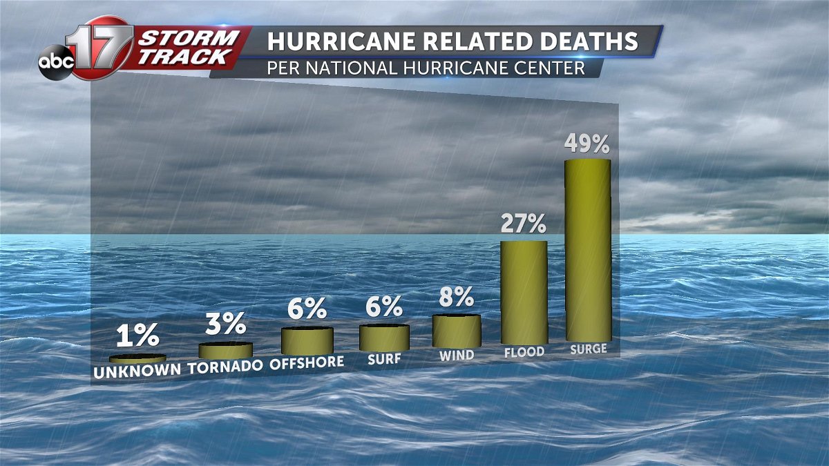
Hurricanes are an all encompassing weather phenomena that posses many risk that can become deadly in an instant. According to the National Hurricane Center, statistics recorded from 1963 through 2012 show that nearly half of all hurricane related deaths are tied to storm surges. In second place ranks flooding with wind, surf, and offshore occurrences following just behind.
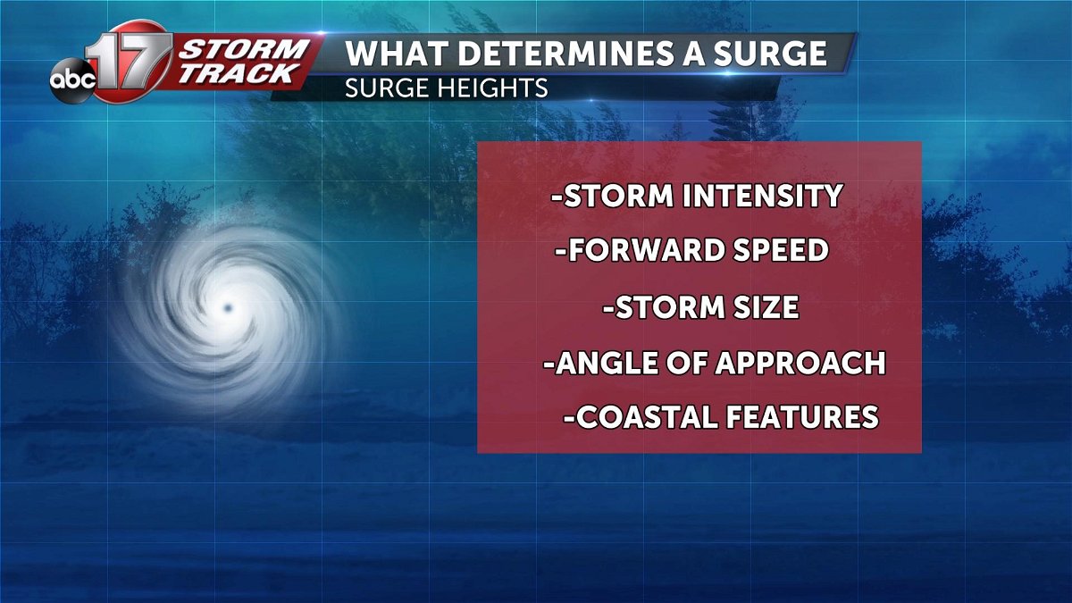
What is a storm surge? A storm surge occurs whenever water from the ocean is forced onto land due to the winds and low pressure of a hurricane above normal tide levels. There are many influencing factors that can affect the height of a storm surge making them very difficult to forecast. The storm intensity based off the wind speed is the largest driving factor. The entire storms directional movement aids in determining sizing and timing of storm surges. Another influencing factor is the size of the storm in relation to its diameter. The final two variables encompass the angle the storm approaches the coast, and coastal features such as a bay area.
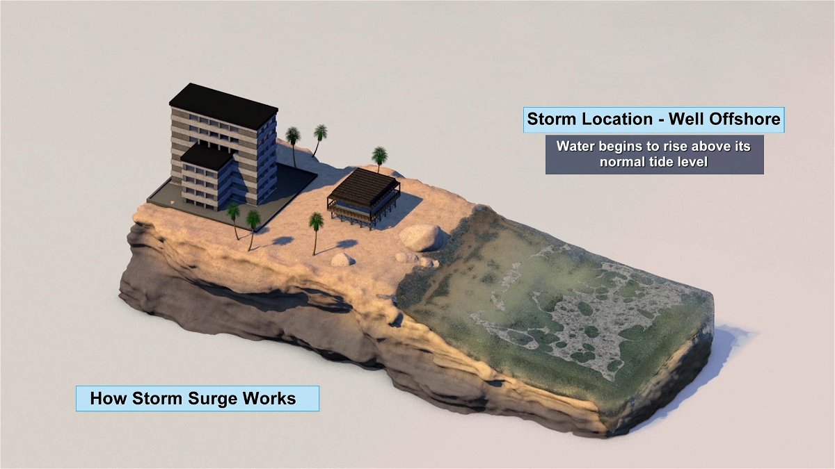
Storm surges can affect an area located well before the arrival of the actual storm. In Ian's cases, surges are expected to reach the southwestern coasts of the Florida Panhandle up to 36 hours ahead of time. The first thing that becomes noticeable as the hurricane remains offshore will be a slight rise in the tide level above normal.
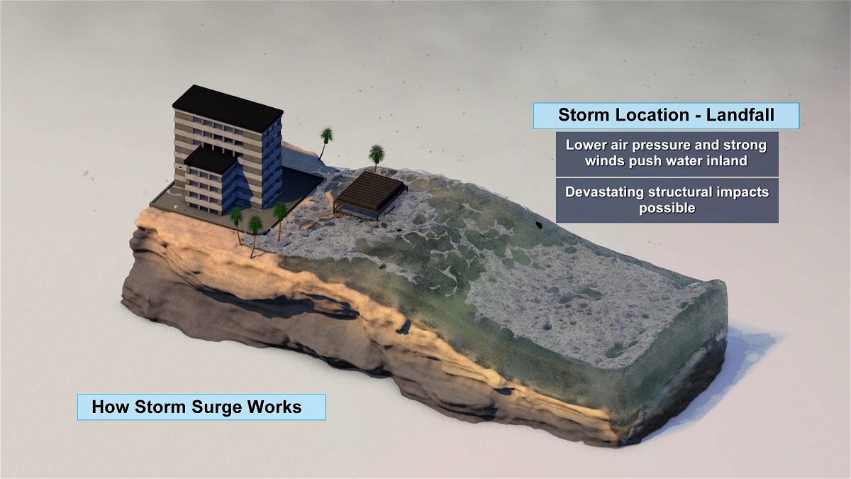
As the storm moves towards landfall, local winds will increase as the barometric pressure will drop greatly. This will cause the tide level to increase greatly, eventually high enough to make water surpass the coastal areas in areas of lower elevation in compared to the mean sea level.
Current predictions are showing Hurricane Ian producing storm surges up to 12 feet in areas near Port Charlotte Florida.
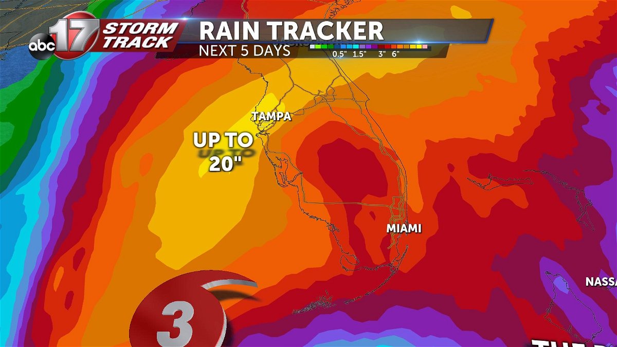
Although dangerous storm surges are expected, rainfall totals across Florida become the next major threat. Areas near where the hurricane make landfall can see up to 20 inches total of rainfall in the next several days. This will lead to widespread flooding across the state.
