A West Coast storm breaks records as another storm threatens 70 million Americans in the eastern US

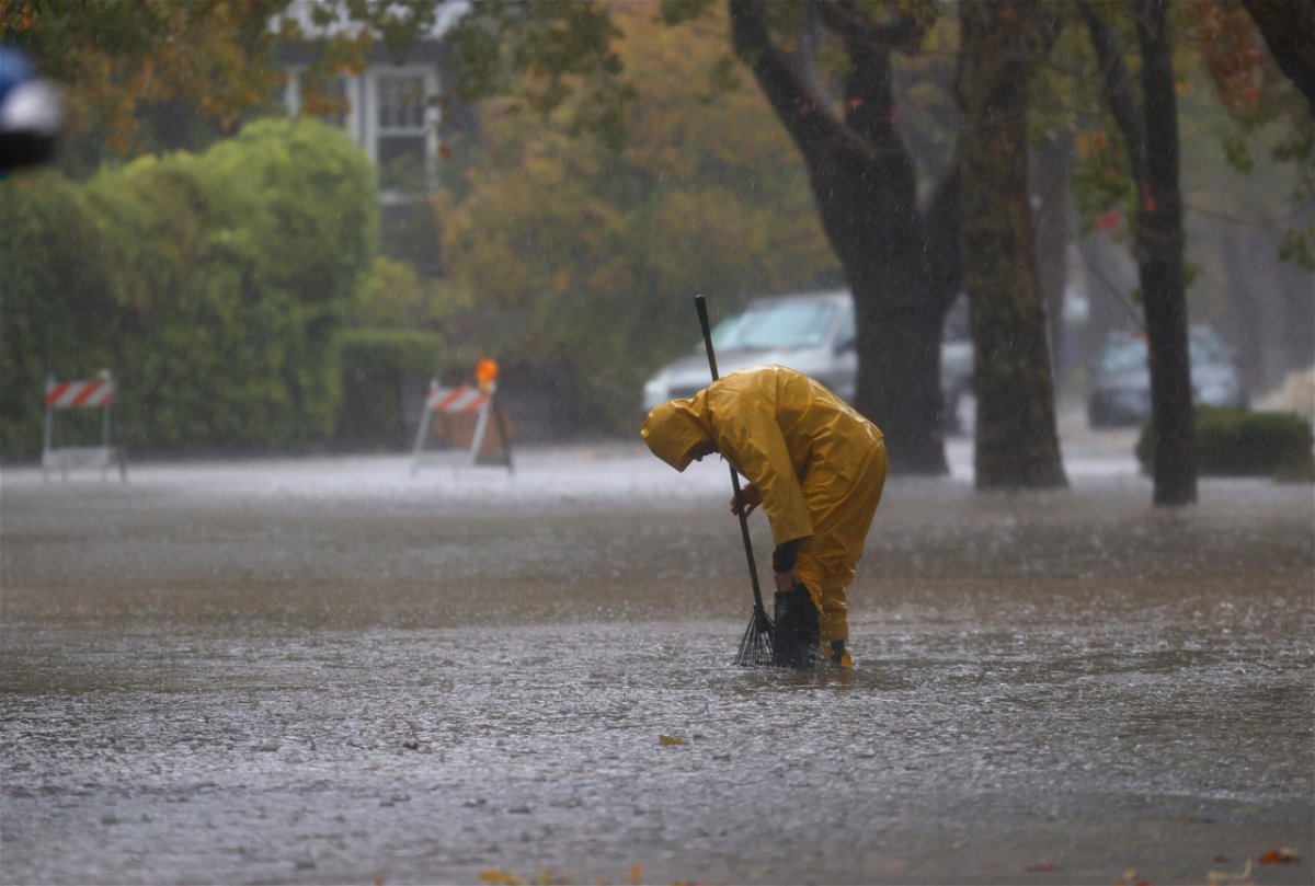
A worker tries to clear a drain in a flooded street Sunday in San Rafael
By Monica Garrett, Haley Brink and Holly Yan, CNN
After the West Coast got walloped by record-setting rainfall and dangerous mudslides — with more heavy rain in store Monday — 70 million Americans in the eastern US are now also at risk for severe weather.
The threat zone Monday stretched from the southern Appalachians to New York City, according to the National Weather Service’s Storm Prediction Center.
A severe thunderstorm watch was in effect Monday evening for portions of eastern Maryland, central and eastern Virginia and central North Carolina. Damaging wind gusts up to 70 mph are the main threat, but hail up to 1.5 inches in diameter and an isolated tornado or two are also possible. The watch is in place until 1 a.m. ET Tuesday.
Flash flooding is another concern. From Massachusetts to New Jersey, flash flood watches were in effect from Monday evening through Tuesday afternoon.
The rate of rainfall could top 1 inch per hour at times, with several total inches of rainfall expected in some areas, the weather service said.
Already, the storm has triggered at least 13 reports of tornadoes Sunday in Missouri, Illinois and Kansas, according to the weather service. The NWS in St. Louis confirmed an EF-3 tornado in Fredericktown, Missouri, and an EF-1 in Chester, Illinois. Damage surveys are ongoing and the results are still preliminary.
Farther west, Californians are still grappling with torrential rainfall that shattered records.
On Sunday, downtown San Francisco had “By far the wettest Oct day ever,” the weather service’s Bay Area office tweeted Monday.
With 4.02 inches of rain, Sunday also marked the “4th Wettest day EVER in SF with records back to Gold Rush,” the weather service office said.
Sacramento broke its 24-hour rainfall record, with 5.44 inches of rain reported downtown between 1 a.m. Sunday and 1 a.m. Monday, the National Weather Service Sacramento office tweeted.
And the severe weather isn’t over for California, “as the heaviest rains shift southward into portions of Central to Southern California” on Monday, the weather service’s Storm Prediction Center said.
“This will pose a threat of flash flooding and debris flow problems across recent burn scar areas.”
California just suffered its worst summer drought on record, along with a spate of wildfires.
But there’s a bit of good news with the recent rain. The Dixie fire — the second largest fire in California history — is now 100% contained after burning 963,309 acres, local officials said.
The-CNN-Wire
™ & © 2021 Cable News Network, Inc., a WarnerMedia Company. All rights reserved.
CNN’s Rachel Ramirez contributed to this report.