It is only April, and New Mexico has already seen a year’s worth of fire activity that will worsen starting today
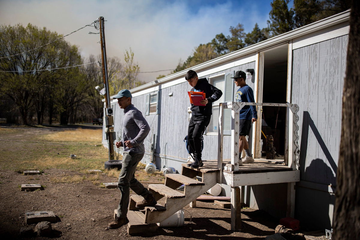
A family evacuated as the McBride Fire got closer to their property in Ruidoso
By Monica Garrett, CNN Meteorologist
New Mexico has seen wildfires burn more acres so far this year (over 173,000) than in seven of the last eight years, according to statistics from the Southwest Coordination Center, which coordinates the mobilization of resources between the twelve Federal and State Dispatch Centers of the Southwest Area.
And fire weather conditions are expected to worsen in the coming days. The peak of the fire season in New Mexico is not until June. The months with the highest number of fires are June, May, July and April — in that order — so the season still has a couple of months to go.
This year’s fire season was off to an early start, “around a week and a half, almost two weeks earlier than average,” said Andrew Church, a meteorologist at the National Weather Service (NWS) in Albuquerque.
Another factor in this year’s high burn rate is the ongoing megadrought in the region.
“Because of climate change and the megadrought across the Western US and especially the Great Basin, there’s no moisture in the soil anymore,” Church told CNN Wednesday.
Because the ground is so dry, the slight increase in relative humidity the area usually sees after a cold front passes no longer occurs, Church said.
“We don’t have that flux from the soil, from the fuels, the grasses and the vegetation, that … (give moisture back to the) atmosphere,” Church said.
That slight increase in relative humidity would “help keep small fires … in check … (and) stem the rapid spread of … wildfires,” explained Church.
Fire weather is becoming critical again
Conditions become more favorable over the past few days for firefighters in their containment efforts, after last week’s dire fire weather. But that is expected to end, starting Wednesday.
The weather will begin to deteriorate throughout the day for parts of the Southwest, marking the start of a multiday fire risk that peaks on Friday with strong winds.
A critical fire threat (level 2 of 3) is in place for parts of western New Mexico and northeastern Arizona on Wednesday.
Daily heating, resulting from clearing skies, will lead to single-digit relative humidity. Winds over northeastern Arizona and northwestern New Mexico will range between 20-25 mph with higher gusts. These warm, dry and windy conditions are the recipe for increased fire spread and ignition.
The surrounding areas will have elevated fire risk with dry and breezy conditions.
An additional weather threat will be of concern across eastern New Mexico and eastern Colorado — thunderstorms.
These potential afternoon thunderstorms could bring “large hail, damaging winds, lightning strikes, brief heavy rain, and blowing dust,” according to the NWS in Albuquerque.
The keyword here is brief, as rain is not likely to reach the ground in most areas — these are called dry thunderstorms.
Wednesday’s dry thunderstorms are the only chance Albuquerque has for receiving measurable precipitation this month, and it is a low chance. April could end with just a trace of precipitation, the first month with no measurable precipitation in over three years for the city.
Dry thunderstorms are not helpful in fire suppression efforts, and are actually unfavorable.
“As these thunderstorms move over very dry fuels, isolated lightning-induced ignitions will be possible,” the Storm Prediction Center said.
Strong wind gusts from these storms also enhance the spread of existing and newly sparked fires.
The critical fire risk area will expand Thursday to include much of central and southern New Mexico, with more dry and windy conditions.
Friday looks to be the worst day for fire weather when winds could gust to 65 mph in the region.
“The strongest winds are anticipated on Friday where some extremely critical conditions are possible across southern Colorado and northeast New Mexico,” the storm center said.
Extremely critical fire conditions are the highest-level threat issued by the weather service.
Images from space reveal the extent of New Mexico’s wildfires
Extreme wind conditions this past weekend expanded the Hermits Peak Fire (east of Santa Fe) into the Calf Canyon Fire, creating a fire complex with more than 180 miles of the perimeter. This complex is now 60,649 acres as of Wednesday, placing it in the top 15 largest fires on record in New Mexico.
New images released by NOAA show the extent of New Mexico’s current largest wildfires, the Hermit Peak/Calf Canyon and Cooks Peak fires. NASA provided three satellite images of the area near Santa Fe on April 23.
The Cooks Peak Fire (Northeast of the Hermits Peak/Calf Canyon) burned through 54,021 acres as of Tuesday morning.
These fires are in the elevated (level 1 of 3) fire risk for Wednesday, with worsening conditions on Thursday and Friday.
“It does look like chances are it’s going get worse before it gets better,” Church said. “We might have to wait quite a while until the monsoon, kicks in, hopefully sometime in late June.”
The-CNN-Wire
™ & © 2022 Cable News Network, Inc., a WarnerMedia Company. All rights reserved.
CNN’s Chad Myers, Judson Jones and Brandon Miller contributed to this report.