Looking Ahead to a Gloomy Work Week
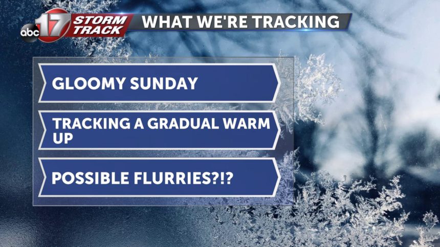
SUNDAY: Today is going to be very similar to yesterday, just a few degrees warmer. We will be mostly cloudy with a high near 40 degrees but a windchill putting the real feel into the mid 30's.
SUNDAY NIGHT: Clouds stick around through the overnight with a low in the upper 20's.
EXTENDED: Jumping into the work week we will have the same conditions as Sunday but on Tuesday we will have our next system move into the area. There are two different scenarios that could come out of Tuesday night. We will have a center of high pressure over us on Tuesday so depending on how strong/weak that high pressure is will determine if we have enough available moisture to form any type of precipitation. Even if we do end up having enough moisture to produce some flurries, it would only be a trace. I am thinking with the data we have now that we will end up just seeing some scattered flurries at best. Confidence is low on this system for now so keep updated. After Tuesday night, our next system looks to be in the form of a cold front that will arrive overnight Friday and into the early hours of Saturday. There looks to be precipitation leading the front which will most likely remain rain. We will be gradually warming throughout the week looking towards the upper 40's by the weekend.