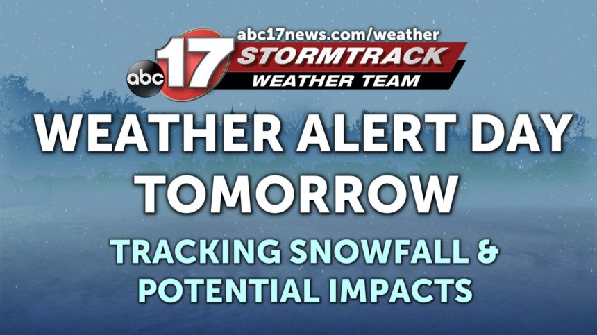
Last Day of Warmth: Snow’s on the Way
SUNDAY: Mostly Sunny with highs in the upper 50's.
SUNDAY NIGHT: Increasing cloud cover will lead up to the rapid decline in temperatures. Rain will be likely to start falling around 10-11 pm Sunday night. This should remain rain until Monday morning since temperatures will be above freezing until 6 am Monday. Lows in the upper 20's.
EXTENDED: Rain will fall late Sunday night and into the early hours on Monday when it will make the switch over to snow around 6 am Monday morning once we drop below freezing. There could be points of heavy snowfall during the morning hours lasting until 2 pm Monday afternoon. The high temperature during the afternoon on Monday will be in the mid 20's. Accumulation is sticking around 3/4 inch - 2 inches possible. Once the snow clears out our conditions will improve to be mostly sunny on Tuesday but temperatures will continue to stay frigid. We will see a gradual warming trend into next weekend where we will make it to the upper 40's again.